True Orthophoto
Description: True orthophoto export.
- Supports rendering Gaussian datasets into orthophotos and exporting as TIF / PNG with coordinate files (.tfw / .pngw).
- Supports three export extent modes:
- Current window extent
- User-defined resolution
- Entire Gaussian dataset extent (default)
- Supports horizontal section (profile) image export.
- Export results automatically include projection information and georeferencing data, ready for direct use in GIS software.
Standard Tiling (Scale-based Tiling):
- After exporting the Gaussian orthophoto, it can be automatically tiled according to national standard map sheets.
- Supported scales: 1:500, 1:1000, 1:2000, 1:5000.
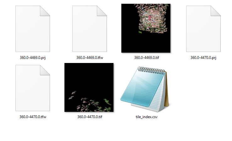
- Each tile automatically generates an image file, a .tfw georeferencing file, and a .prj projection file.
- Automatically generates a
tile_index.csvtile index for convenient querying and management.
Steps
1. Open True Orthophoto Settings
Click the True Orthophoto button on the Gaussian reconstruction page. A settings panel will pop up on the left side of the software, as shown:
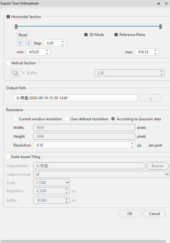
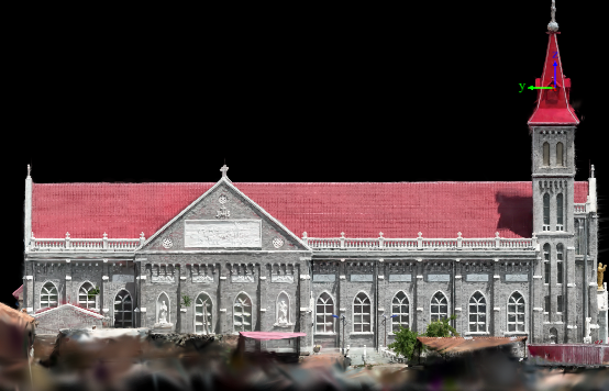
Similar to point cloud orthophotos, it supports horizontal section export and profile export. The export extent can be set based on the Gaussian data bounding box, current window, or custom resolution.
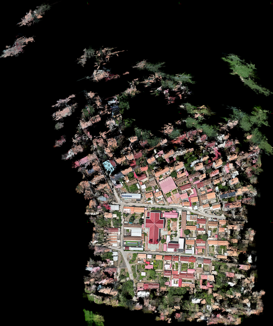
True Orthophoto Export:
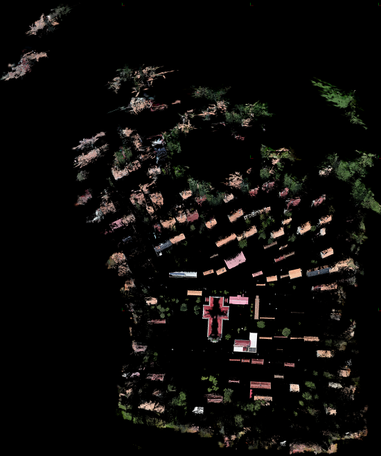
Horizontal Section Orthophoto Export:
Profile Orthophoto Export:
2. Standard Tiling
Check the Scale Tiling option to automatically tile the exported image according to national standard map sheets. Supported scales: 1:500, 1:1000, 1:2000, 1:5000. Each tile automatically generates an image file, a .tfw georeferencing file, and a .prj projection file, along with a tile_index.csv tile index. Resolution and buffer settings can be configured.
1:1000 default parameter tiling result: