Key Point Burial Depth
Function Description: Calculate the burial depth of each pipeline key point (the vertical distance from the key point to the road surface) based on the point cloud and the pipeline key point vector.
The point cloud used must represent the road surface either before excavation or after excavation.
Steps
- Click the Key Point Burial Depth
 button to open the dialog:
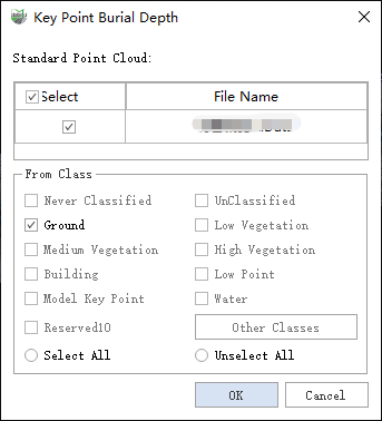
Parameter Dialog
Parameter Description:
- Reference Point Cloud: The road surface point cloud used to calculate burial depth. Make sure to use the road surface point cloud before excavation or after excavation for accurate results.
From Class: Specify the category of point cloud points to be included in the calculation.
Click OK to start the calculation. The results will be saved in the Burial Depth field of the Pipeline Key Points layer.