Query Dip and Strike
Functional Overview
This feature enables the calculation of dip and strike angles from point cloud data through automatic or manual selection, providing statistical analysis tools for extracted results and corresponding exportable reports.
Usage
Load the point cloud data to be edited into the window and ensure this window is active.
Click Terrain > Query Dip and Strike to display the corresponding toolbar in the currently active window.
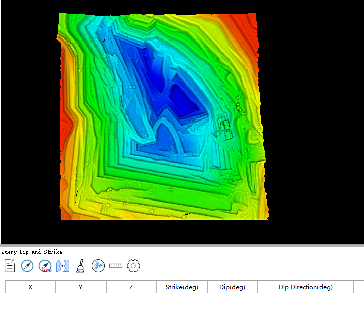

In the table window, the buttons from left to right are: Export Data, Query Dip and Strike, Auto Query Dip and Strike, Merge, Clear Data, Statistics and Export Report, Length Measurement, and Settings.
 Export Data: Saves current table data to a CSV file.
 Query Dip and Strike: After clicking this function button, you can pick points in the data window. Every three points form a triangle, generating corresponding dip and strike information displayed as a 3D model in the window, while adding a query record to the table below.
 Auto Query Dip and Strike: Automatically calculates dip and strike information for the window's point cloud file and adds it to the table below. Clicking opens the following dialog:
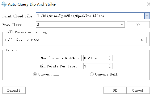
- Point Cloud File: Select the point cloud file for automatic dip and strike extraction via dropdown.
- From Class: Select the point cloud category for calculation (default: ground points).
- Cell Size: Affects segmentation results. Larger values produce finer fragments, smaller values produce larger patches.
- Facets: Parameters for patch segmentation.
- Type Selection: Segmentation distance parameter type.
- Max RMS: Maximum RMS distance between cluster points and fitted plane.
- Max Distance @68%: Maximum distance of top 68% points from fitted plane.
- Max Distance @95%: Maximum distance of top 95% points from fitted plane.
- Max Distance @99% (default): Maximum distance of top 99% points from fitted plane.
- Max Distance: Maximum distance of any point from fitted plane.
- Distance Threshold: Larger values create more lenient thresholds for patch formation (resulting in larger patches), smaller values create stricter thresholds.
- Minimum Points per Facet: Minimum number of points required to form a patch. Larger values produce fewer but larger patches.
- Convex Hull: Uses convex hull as the shape for each structural plane.
- Concave Hull: Uses concave hull as the shape for each structural plane.
- Type Selection: Segmentation distance parameter type.
 Merge: Click to select a target polygon in the window, then select other polygons to merge into the target. Corresponding table data will be deleted. Right-click to finish.
 Clear Data: Clears 3D dip/strike models in the window and corresponding table data.
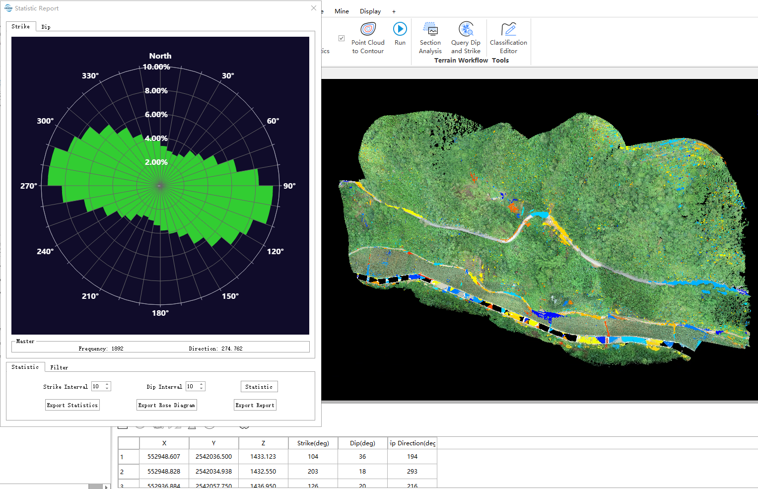
 Statistics and Export Report: Performs statistics and filtering on strike and dip angles. Set strike and dip intervals for statistical analysis, generate rose diagrams and corresponding statistical reports. Filter by selecting different filter types and rendering methods with min/max angle thresholds.
 Length Measurement: Measures distances between selected patches.
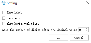
 Settings: Toggle display of 3D model labels, axes, and horizontal plane in the window. Configure decimal precision for data.