Drainage Line Analysis
Function Overview
The Drainage Line Algorithm is a method used to calculate water flow paths in digital images (DEM). This algorithm is commonly used in geographic information systems (GIS) and hydrology fields to simulate and analyze surface water flow.
Usage
- This function requires generating a digital elevation model first. Click Terrain > Hydrological Analysis > Drainage Line Analysis.
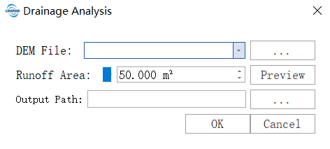
Parameter Settings
- Input DEM: Input digital elevation model .tif file.
- Runoff Area: Refers to the total area of water flow passing through a specific pixel during surface water flow process. Smaller values will extract more tributary trajectories; larger values will preserve more main flow trajectories.
- Output Result: The algorithm will eventually output drainage line vector results and related analysis reports.
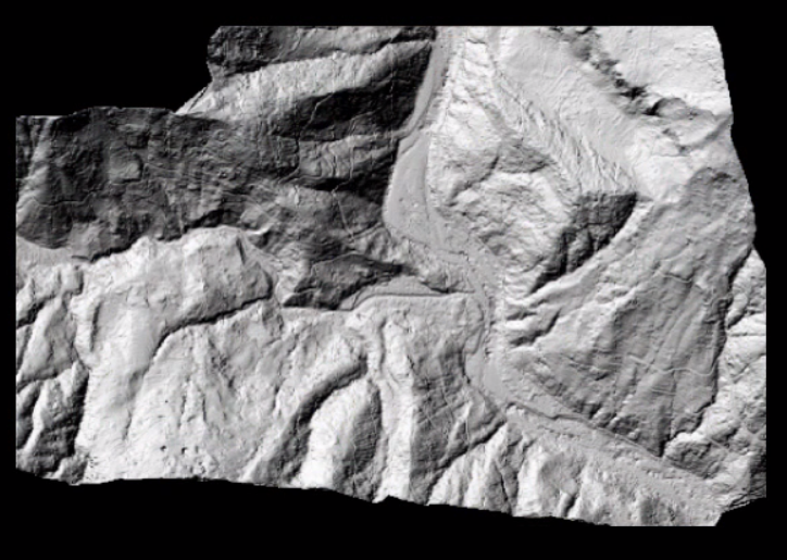
DEM Data:
Drainage Line Analysis Vector Results:
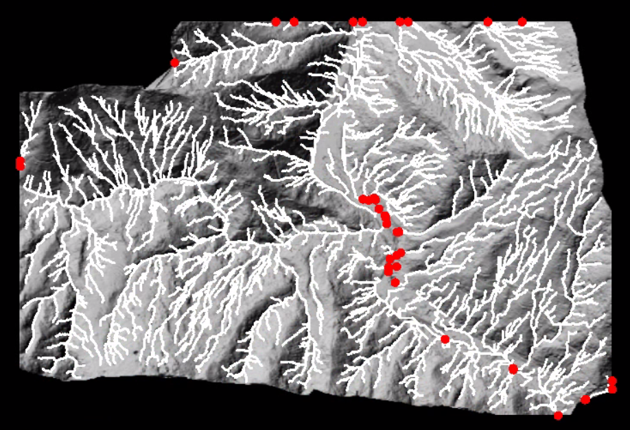
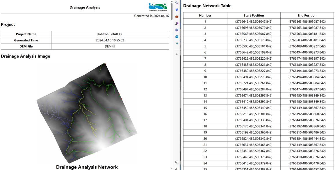
Where the white lines are drainage lines, which simulate the flow trajectory of surface water, and the red points are catchment points, indicating that the internal surface water flow converges to the same outlet point position. The analysis report is shown in the following figure.