Point Cloud to DEM
Summary
Digital Elevation Model (DEM), is the digitized simulation of terrain through limited topographic elevation data (i.e. the digitized representation of terrain surface). It represents the ground elevation with a set of ordered numerical array. It is a branch of the digital terrain model, which can be used to generate all other terrain feature values.
Usage
Before you can generate a digital elevation model, first Classify Ground Points by PTD. Click Terrain > Point Cloud to DEM.

Settings
- Input Data: The input file can be a single point cloud data or a point cloud dataset, which must have classified ground points and opened in LiDAR360 software.
- Parameter Settings: See Grid Parameters Settings.
- Terrain feature objects (optional): Import terrain features (breaklines, simulated terrain points) component files, breaklines and simulated terrain points will participate in DEM generation.
- Output Path: Save DEM file to a path.
- Default Value: Click this button to restore all parameter defaults.
The original point cloud (left below) and the DEM (right below).
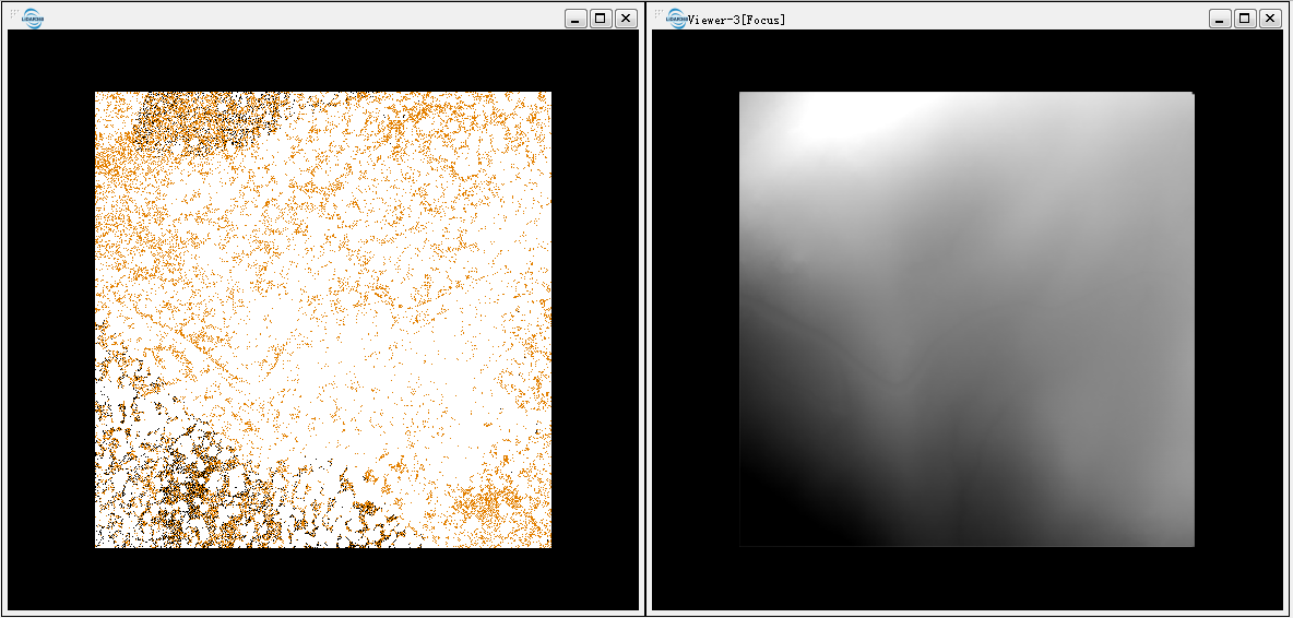
Based on DEM, a myriad of products including Slope, Aspect, Roughness and Contour can be generated.
Note: Point clouds that are used to generate DEM need contain ground points.