PCV
Summary
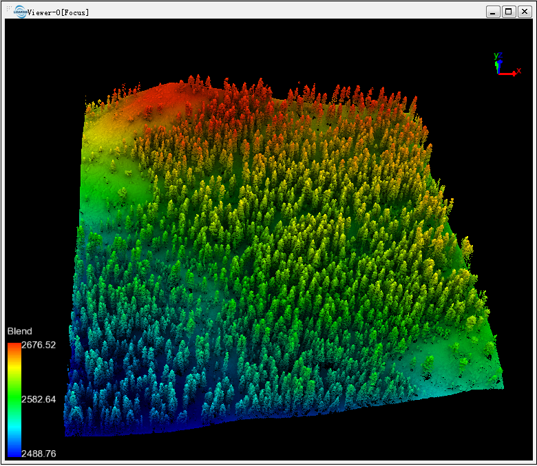
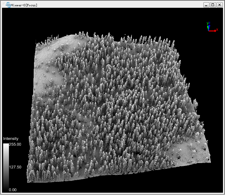
PCV can be used to improve the visualization of point clouds. The principle of the PCV (Portion of Visible Sky) algorithm is to evenly distribute multiple light sources on the top of a hemisphere or sphere, illuminate each point in the point cloud, and count the cumulative number of times each point can be reached by light. The statistical result is written to the point cloud attached attribute PCV value. The rendering effect after PCV calculation is shown below.
Usage
Click Data Management > Point Cloud Tools > PCV
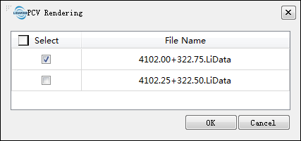
Select the point cloud data that needs to be processed by PCV.
After PCV calculation, the attached attribute PCV is generated with a value range of 0-255. Display the point cloud by attached attribute or in shading mode to show the terrain and boundaries more clearly. The figure below shows an example display effect after PCV calculation.