Terrain
Terrain module has two modes: Basic and Advanced. Click the button at upper-right corner to select mode.Basic mode provides one-click processing for terrain products generation.
Advanced
Tools of Advanced mode is shown as figure below:

Spatial Analysis: Hillshade, Slope, Roughness, Aspect, Viewshed Analysis, Sky View Factor, Annual Insolation, Solar Radiation
Hydrology Analysis: Drainage Analysis, Flooding Analysis, Fill Sinks, Flow Direction, Flow Accumulation, Channel Network, Generate REM
Multi-period Analysis: Deviation Analysis, Change Detection, Construction Progress Analysis
Terrain tools include: Point Cloud to DEM, Point Cloud to Tiled DEM, Point Cloud to DSM, Point Cloud to Tiled DSM, Generate CHM, Generate DOM by Pixel Mode, Raster to Contour, Point Cloud to Contour, TIN to Contour, Generate Elevation Annotation, Contour Consistency Check, Contours Sheet Join, Breaklines Sheet Join, Generate TIN, TIN to DEM, DEM Sheet Join, LiModel Editor, LiTIN Editor, DEM Accuracy Assessment, Section Analysis
Basic
Tools of Basic mode is shown as figure below:

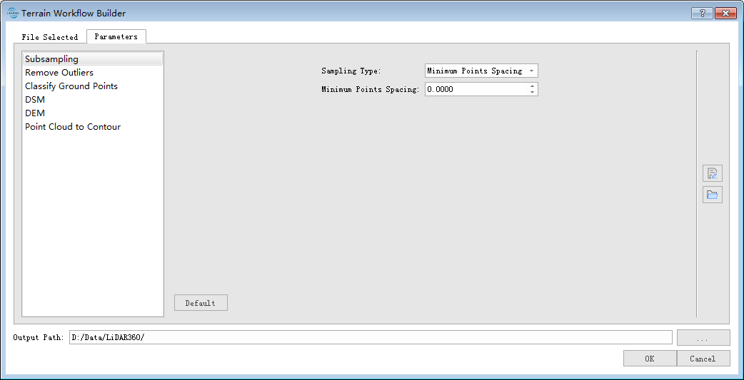
Click "Run" and a dialog will pop up. Click "File Selected" and select the point cloud file to be processed. Then, go to Parameter tab and set parameters for functions. After that, click "OK" and batch process the data, results will be saved to the specified Output Path.
Other tools include: Section Analysis.