RESOURCES

Experience GreenValley International at INTERGEO 2026
Experience GreenValley International at INTERGEO 2026 — from handheld, UAV and mobile mapping to robotics, VR, cloud and the latest software suite.
 Company News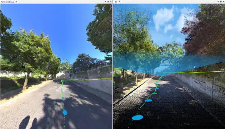
From SLAM Capture to Survey Control: Validating LiGrip O2 Lite Against RTK Ground Truth
Handheld SLAM LiDAR is fast, but can it really hold up to survey-grade accuracy? GreenValley partner Ghostysky put the LiGrip O2 Lite to the test by comparing its point cloud directly against RTK ground truth—here’s what they found.
Case Studies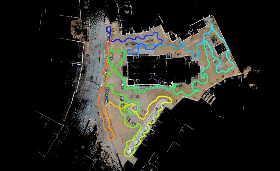
Digitizing a Desert Oasis: LiGrip + LiDAR360MLS Preserve Morocco's Tinghir Heritage
See how a handheld scanner turned Morocco’s intricate desert oasis heritage site into a precise digital twin — and why traditional surveys simply couldn’t keep up.
Case Studies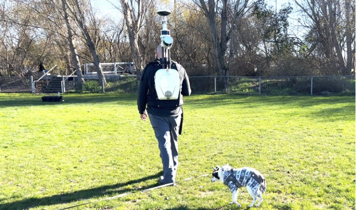
Unlocking Carbon Stock Calculations with GreenValley’s LiBackpack and LiDAR360
Learn how GreenValley LiBackpack DGC50H and LiDAR360 streamline carbon stock assessment through a digital beneath-canopy workflow that replaces manual field surveys with tree segmentation and biomass estimation.
Case StudiesFrom Weeks to Hours: How LiMobile M2 + LiDAR360MLS Automate Road Marking Recognition
Curious how an Australian university turned weeks of road-marking model training into a matter of hours? This case breaks down the exact LiMobile M2 + LiDAR360MLS workflow that replaced manual coding with one-click template marking and delivered 99% detection accuracy.
Case Studies
How GreenValley LiDAR Revealed the World’s Tallest Tropical Tree
Discover how GreenValley LiAir UAV LiDAR and LiGrip handheld scanning solutions enable researchers to precisely measure record-holding tropical trees and reconstruct old-growth rainforests in high-resolution 3D, advancing conservation and carbon-sequestration science.
Case Studies
Topcon and GreenValley International Collaborate on Spatial Intelligence Innovations
Strategic collaboration will bring spatial intelligence into real-world industry applications by integrating hardware, software, cloud and AI to simplify, automate and intelligently connect complex workflows across construction, machine control, infrastructure and other high-value industries.
Company News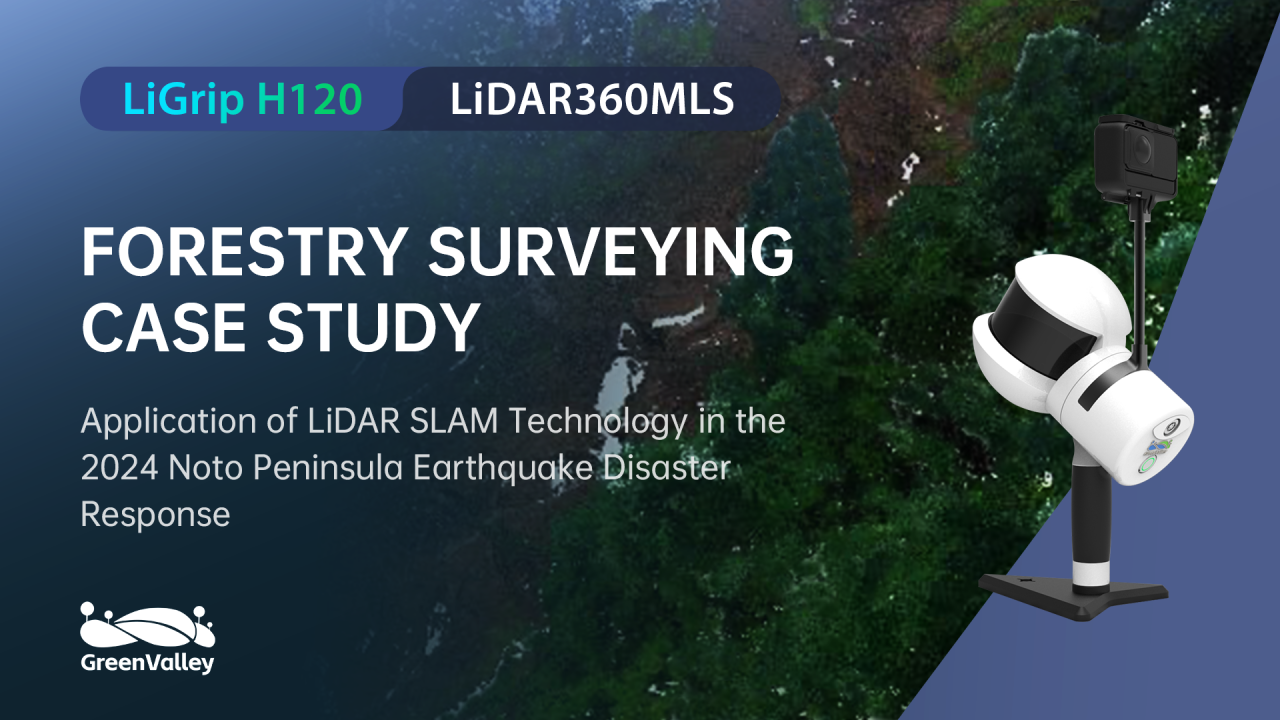
Forest Terrain Mapping After the Japan Earthquake
Learn how GreenValley LiGrip H120 helps survey teams capture beneath-canopy terrain data quickly and safely after earthquake-triggered landslides.
Case Studies
Autonomous LiDAR Powerline Inspection Demonstrated in Malaysia
Discover how GreenValley LiAir X4 and LiPowerline support autonomous UAV LiDAR powerline inspection, vegetation risk detection, clearance analysis, and transmission corridor maintenance.
Case Studies
GreenValley International Inc (GVI), headquartered in Berkeley, California, is a leading innovator of 3D mapping technologies. GVI provides a wide range of advanced aerial, terrestrial, and mobile LiDAR survey and mapping hardware systems and cutting-edge software as well as turnkey solutions. Our portfolio includes airborne, handheld, mobile, and backpack laser scanning platforms, as well as point cloud processing software such as the LiDAR360 LiDAR data processing platform. GVI focuses on LiDAR and image fusion technology, specializing in LiDAR, UAV, SLAM, Photogrammetry, and other technologies to achieve an accurate digital representation of three-dimensional space. As we continue to expand our reach and technological capabilities, GVI remains committed to driving innovation and pushing the boundaries of what's possible in the LiDAR space.