Unlocking Carbon Stock Calculations with GreenValley’s LiBackpack and LiDAR360
Learn how GreenValley LiBackpack DGC50H and LiDAR360 streamline carbon stock assessment through a digital beneath-canopy workflow that replaces manual field surveys with tree segmentation and biomass estimation.
Carbon stock—the amount of carbon stored in forests, soils, and ecosystems—is fundamental to understanding the global carbon cycle and climate change. As atmospheric CO₂ levels continue to rise, accurately quantifying carbon stored in vegetation has become critical for climate mitigation, sustainable forest management, and carbon market participation. Traditional carbon stock measurement relies on manual field surveys that are time-consuming and labor-intensive. GreenValley’s LiBackpack DGC50H handheld laser scanner paired with LiDAR360 software offers a fully digital alternative, transforming how foresters and researchers capture, process, and analyze forest structure for carbon assessment.
From Forest Floor to Carbon Estimate
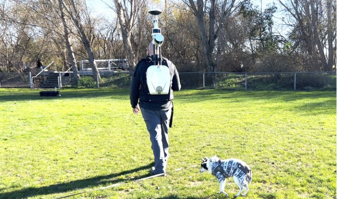
The workflow begins with field data collection using the LiBackpack DGC50H. Its dual-axis LiDAR sensors scan horizontally and vertically simultaneously, while integrated GNSS and SLAM technology ensures high-precision 3D point clouds even in GNSS-denied forest environments. The device’s robust battery supports extended field operations, allowing surveyors to cover large forest areas in a single session.
Point Cloud to Individual Tree Attributes
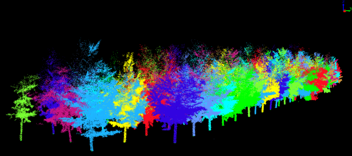
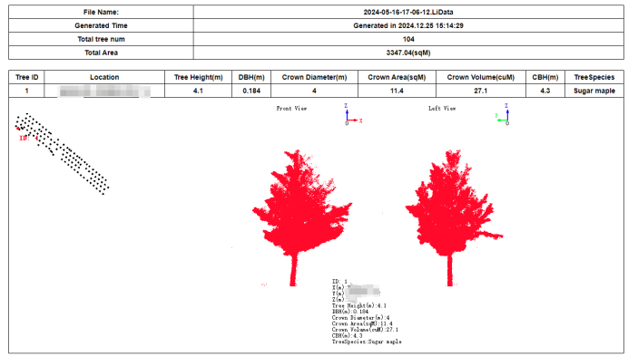
Back in the office, LiDAR360 processes the raw point cloud through a streamlined forestry workflow. Noise filtering removes outliers, point cloud classification separates ground from non-ground points, and trunk-based tree segmentation extracts individual trees and reconstructs their canopies. The software generates detailed attribute reports and seed point files in .csv format, capturing tree position, height, diameter, and canopy metrics.
Biomass and Carbon Stock Calculation
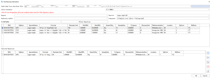
With individual tree parameters in hand, the next step is biomass estimation. Using established allometric equations, above-ground biomass (AGB) is calculated from tree diameter and height: AGB = 10^(a + b × log₁₀(dia^c)) where a, b, and c are species-specific constants. Below-ground biomass (BGB) is then derived from AGB, and total biomass is converted to carbon stock using the standard carbon content ratio: Carbon Stock = Biomass × 0.5 LiDAR360 automates this pipeline, producing carbon stock maps and summary reports directly from the point cloud.
Why It Matters
Precise carbon stock data supports climate policy development, carbon credit verification, and forest conservation planning. By replacing manual plot measurements with LiDAR-based digital workflows, organizations can assess larger areas faster, reduce field costs, and produce reproducible, auditable results. GreenValley’s LiBackpack DGC50H and LiDAR360 make high-accuracy carbon stock assessment accessible to research teams, forest managers, and conservationists worldwide.
Guess you like

Topcon and GreenValley International Collaborate on Spatial Intelligence Innovations
Strategic collaboration will bring spatial intelligence into real-world industry applications by integrating hardware, software, cloud and AI to simplify, automate and intelligently connect complex workflows across construction, machine control, infrastructure and other high-value industries.
 Company News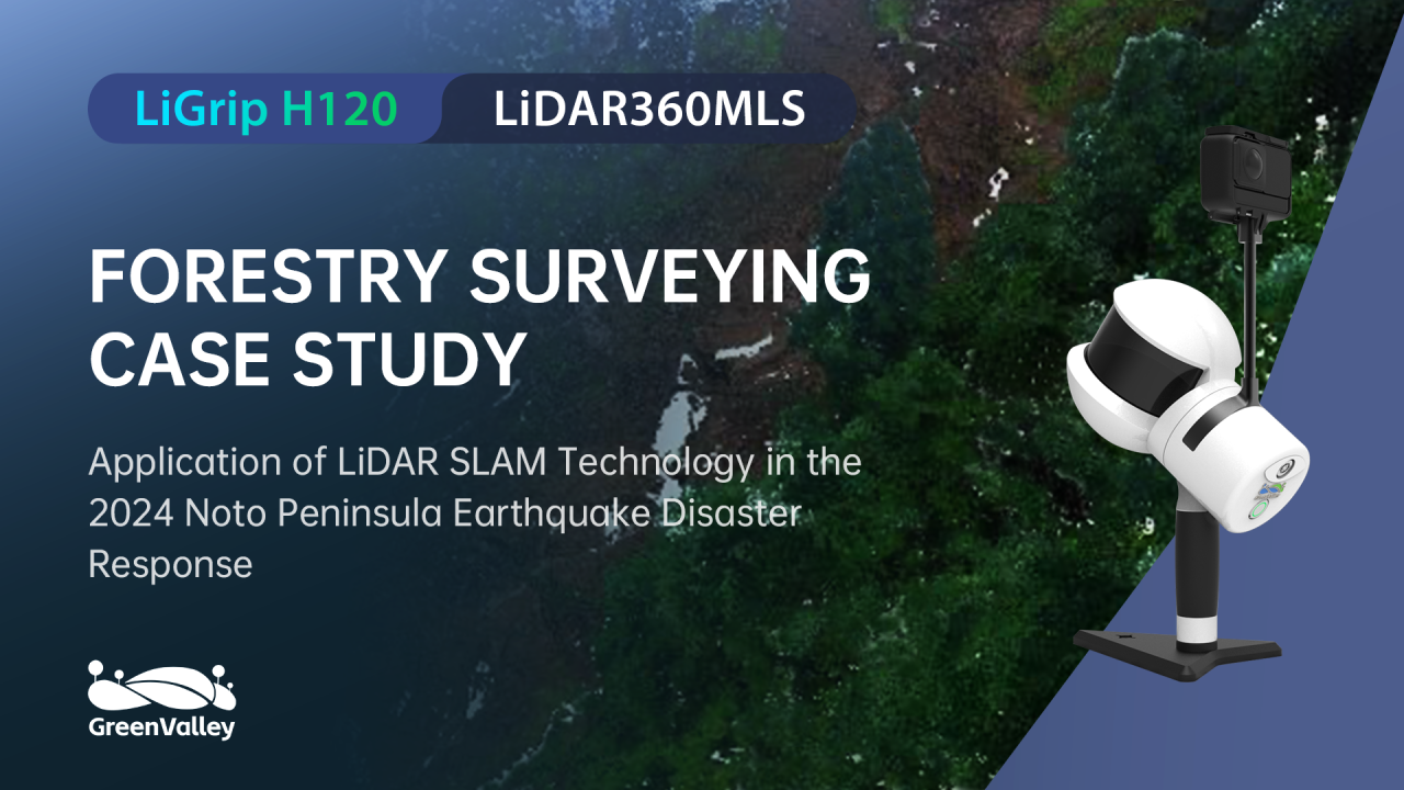
Forest Terrain Mapping After the Japan Earthquake
Learn how GreenValley LiGrip H120 helps survey teams capture beneath-canopy terrain data quickly and safely after earthquake-triggered landslides.
Case Studies
LiDAR360MLS

LiBackpack DGC50H
GNSS+Panoramic Camera+Dual Laser Scanners Integration

GreenValley International Inc (GVI), headquartered in Berkeley, California, is a leading innovator of 3D mapping technologies. GVI provides a wide range of advanced aerial, terrestrial, and mobile LiDAR survey and mapping hardware systems and cutting-edge software as well as turnkey solutions. Our portfolio includes airborne, handheld, mobile, and backpack laser scanning platforms, as well as point cloud processing software such as the LiDAR360 LiDAR data processing platform. GVI focuses on LiDAR and image fusion technology, specializing in LiDAR, UAV, SLAM, Photogrammetry, and other technologies to achieve an accurate digital representation of three-dimensional space. As we continue to expand our reach and technological capabilities, GVI remains committed to driving innovation and pushing the boundaries of what's possible in the LiDAR space.