Case StudiesFrom SLAM Capture to Survey Control: Validating LiGrip O2 Lite Against RTK Ground Truth
From SLAM Capture to Survey Control: Validating LiGrip O2 Lite Against RTK Ground Truth
Handheld SLAM LiDAR is fast, but can it really hold up to survey-grade accuracy? GreenValley partner Ghostysky put the LiGrip O2 Lite to the test by comparing its point cloud directly against RTK ground truth—here’s what they found.
GreenValley International’s Portuguese partner Ghostysky recently conducted a field validation study to evaluate how LiGrip O2 Lite performs in a real-world surveying workflow — comparing handheld SLAM LiDAR results against RTK ground truth. As handheld SLAM LiDAR becomes increasingly common in surveying, mapping, construction, and reality capture workflows, one question remains critical for professional users: Can the data be trusted against survey control? Fast capture is important. A visually complete point cloud is valuable. But for surveyors, real confidence comes from validation — knowing that the captured data can be checked, measured, and compared against reliable ground truth. That is why this field validation by Ghostysky provides an important perspective on the practical value of LiGrip O2 Lite.
Field Validation with LiGrip O2 Lite
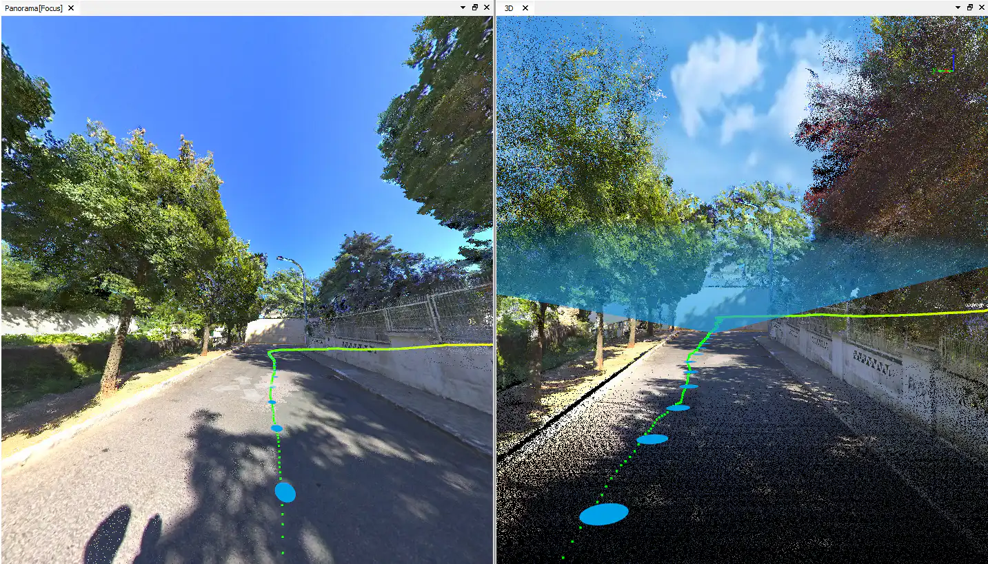
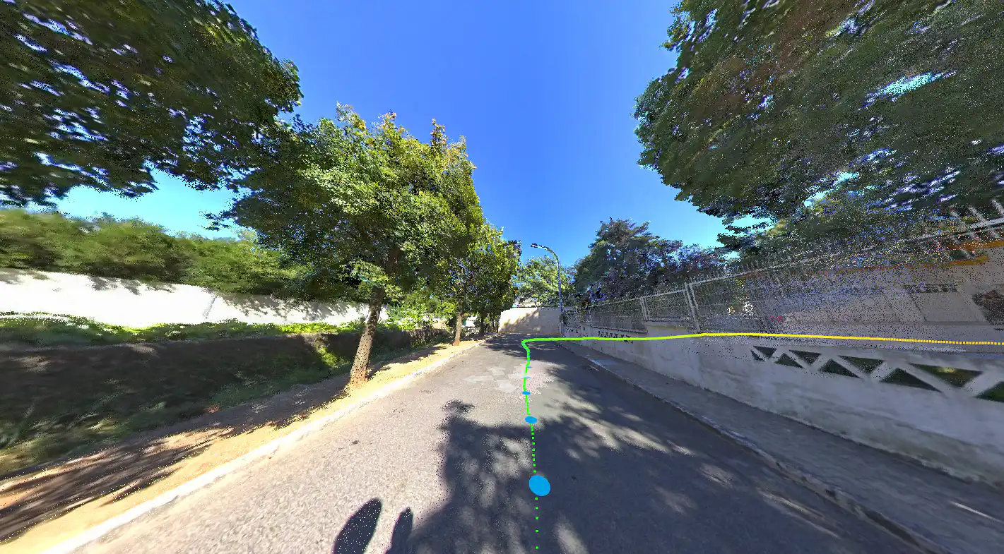
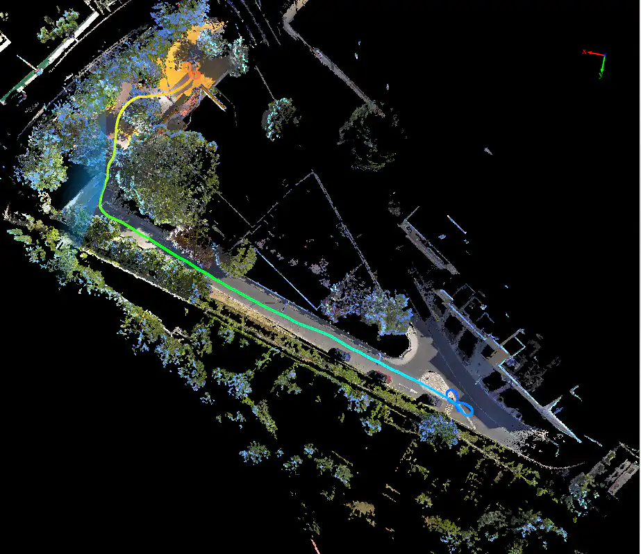
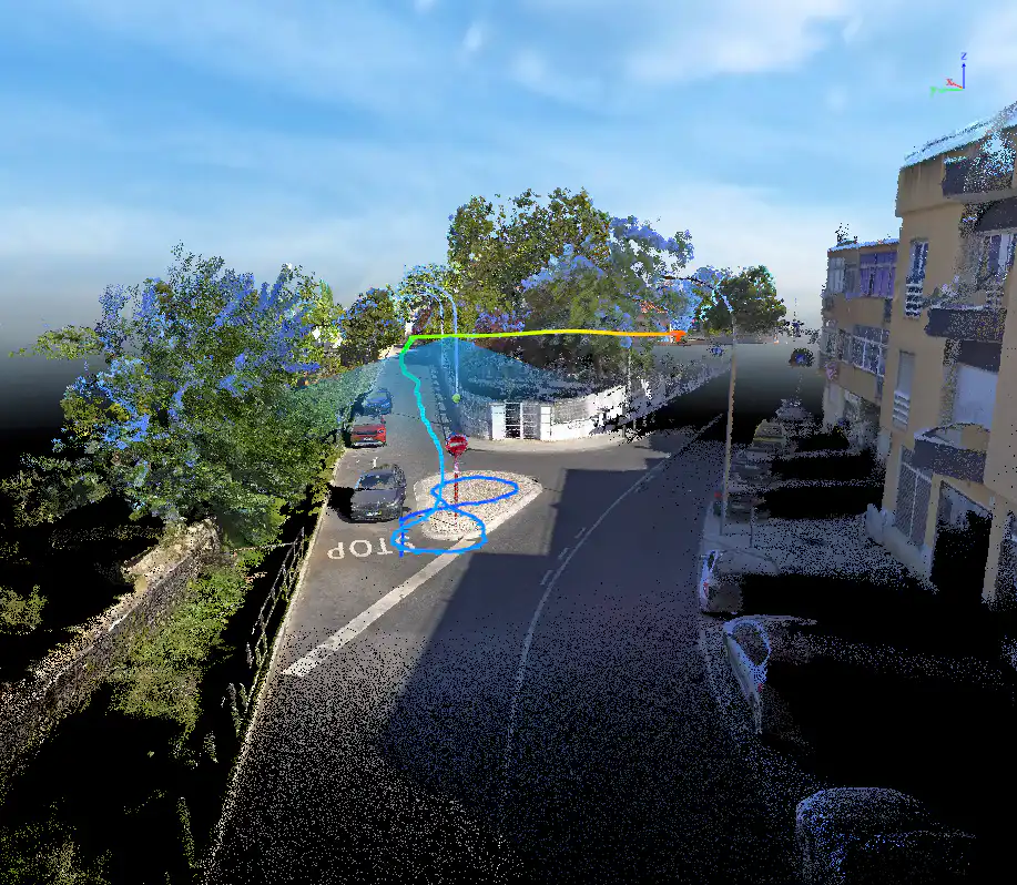
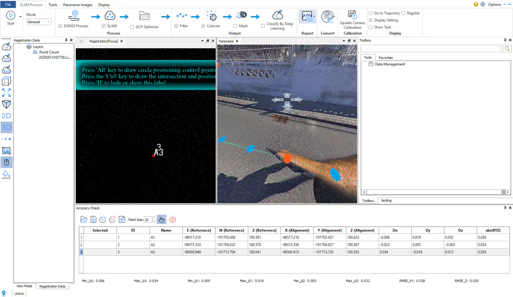
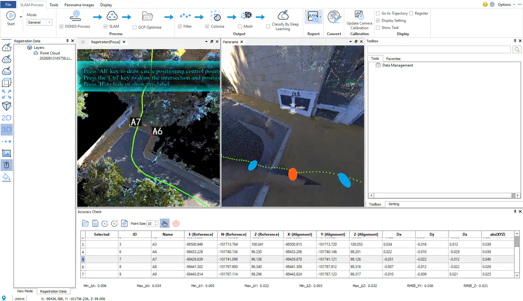
In this validation project, Ghostysky used GreenValley LiGrip O2 Lite to capture a real outdoor environment with handheld SLAM LiDAR. The workflow combined field scanning, RTK survey control, point cloud processing, and accuracy comparison to evaluate the performance of the system in practical conditions. The complete workflow included: ● Field data collection with LiGrip O2 Lite ● RTK ground control measurement ● Colorized point cloud generation ● Comparison between SLAM results and RTK ground truth ● Accuracy validation for real surveying applications Instead of only reviewing the appearance of the point cloud, the validation focused on whether the SLAM-based results could be compared against survey control and used with confidence in professional workflows.
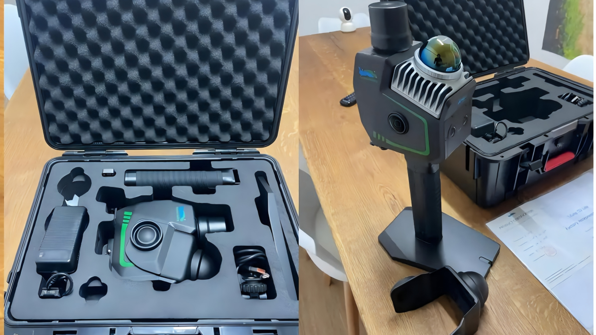
LiGrip O2 Lite
Why Survey Control Matters
For real projects, a point cloud is not only a visual deliverable. It is a measurable spatial dataset. Surveyors need to know whether the captured data can support downstream tasks such as mapping, documentation, design reference, construction verification, and as-built analysis. By comparing LiGrip O2 Lite results against RTK ground truth, Ghostysky demonstrated a practical validation approach for handheld SLAM LiDAR adoption. This type of workflow helps answer key questions for professional users: ● How well does SLAM capture perform in real-world field conditions? ● Can the result be checked against independent control measurements? ● Can handheld LiDAR data support survey-ready workflows? ● How can fast capture and accuracy validation work together?
From Fast Capture to Verified Results
LiGrip O2 Lite is designed to support flexible and efficient 3D reality capture across a wide range of field scenarios. Its handheld form factor allows users to move through complex environments quickly, while SLAM technology enables data capture in areas where traditional surveying workflows may be slower or more difficult. However, speed alone is not enough. For professional surveying, the value of handheld SLAM LiDAR comes from connecting rapid capture with measurable results. The Ghostysky validation highlights this transition: Capture fast. Validate with control. Deliver with confidence. By bringing SLAM capture together with RTK ground truth validation, the workflow shows how LiGrip O2 Lite can support practical, reliable, and verifiable reality capture for modern surveying projects.
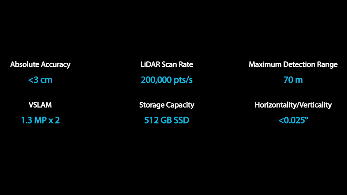
Supporting Modern Surveying Workflows
The study also reflects a broader shift in the surveying industry. Handheld SLAM LiDAR is no longer viewed only as a fast scanning tool. It is becoming part of a complete field-to-deliverable workflow — one that connects data capture, point cloud processing, accuracy validation, and project delivery. For professionals working in surveying, infrastructure, construction, architecture, and digital documentation, this means LiDAR workflows can become more efficient without losing the need for control, validation, and trust. As the industry continues to adopt more mobile and flexible reality capture technologies, validation against ground truth will remain essential.
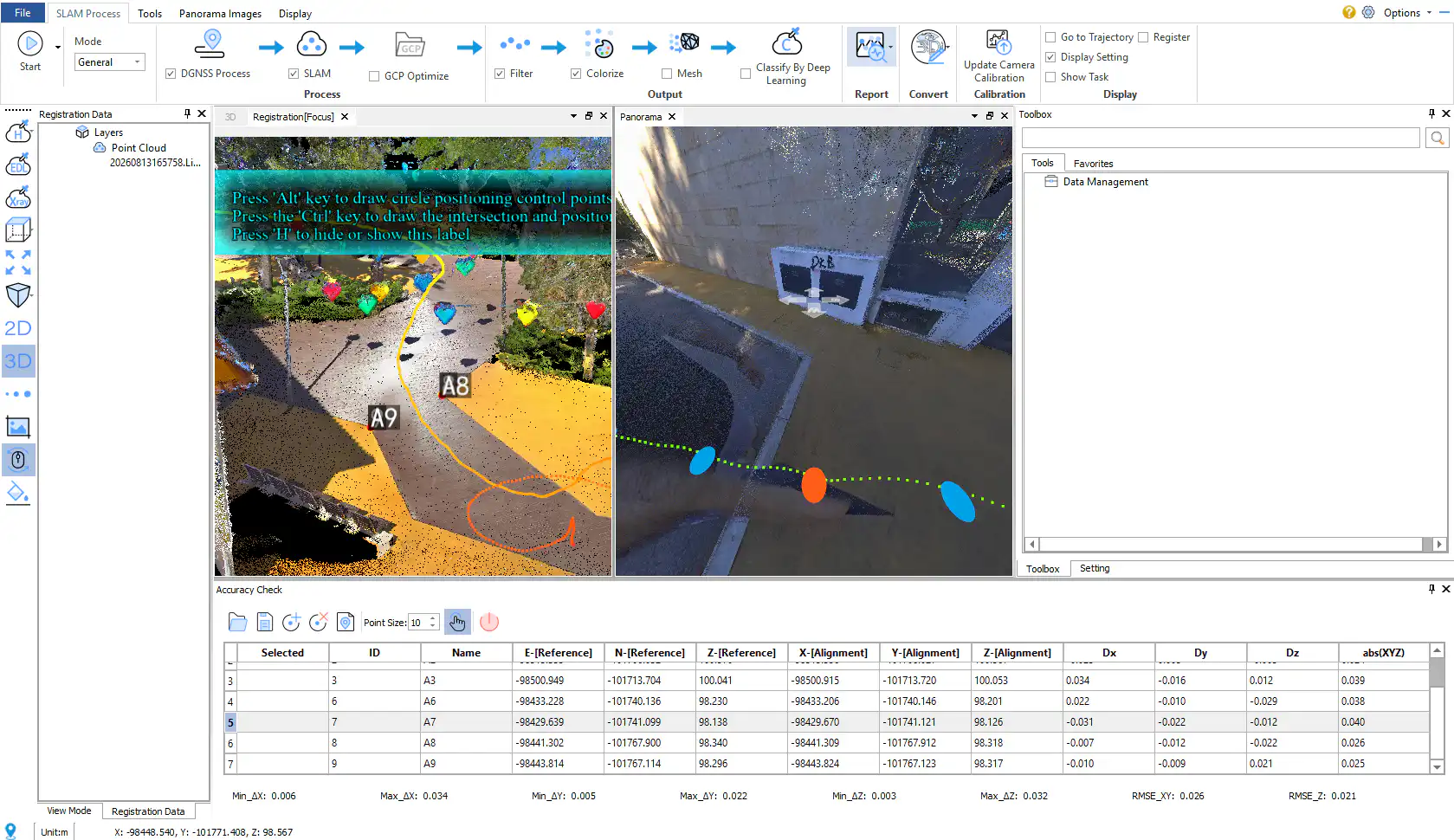
Partner Insight from Portugal
We would like to thank Ghostysky, our partner in Portugal, for conducting and sharing this practical field validation. Real-world testing, independent workflow validation, and partner-driven application studies are essential for helping users better understand how LiDAR technology performs beyond controlled demonstrations. This project provides a valuable example of how LiGrip O2 Lite can be used in professional surveying workflows where both speed and accuracy matter.
Learn More
Read Ghostysky’s original article here: https://www.ghostysky.com/slam-meets-survey-control-validating-the-ligrip-o2-lite-against-rtk-ground-truth/ Learn more about LiGrip O2 Lite: https://www.greenvalleyintl.com/LiGripO2Lite For product inquiries or workflow consultation, contact us: info@greenvalleyintl.com
Guess you like

Topcon and GreenValley International Collaborate on Spatial Intelligence Innovations
Strategic collaboration will bring spatial intelligence into real-world industry applications by integrating hardware, software, cloud and AI to simplify, automate and intelligently connect complex workflows across construction, machine control, infrastructure and other high-value industries.
 Company News
LiGrip O2 Lite

GreenValley International Inc (GVI), headquartered in Berkeley, California, is a leading innovator of 3D mapping technologies. GVI provides a wide range of advanced aerial, terrestrial, and mobile LiDAR survey and mapping hardware systems and cutting-edge software as well as turnkey solutions. Our portfolio includes airborne, handheld, mobile, and backpack laser scanning platforms, as well as point cloud processing software such as the LiDAR360 LiDAR data processing platform. GVI focuses on LiDAR and image fusion technology, specializing in LiDAR, UAV, SLAM, Photogrammetry, and other technologies to achieve an accurate digital representation of three-dimensional space. As we continue to expand our reach and technological capabilities, GVI remains committed to driving innovation and pushing the boundaries of what's possible in the LiDAR space.