How GreenValley LiDAR Revealed the World’s Tallest Tropical Tree
Discover how GreenValley LiAir UAV LiDAR and LiGrip handheld scanning solutions enable researchers to precisely measure record-holding tropical trees and reconstruct old-growth rainforests in high-resolution 3D, advancing conservation and carbon-sequestration science.
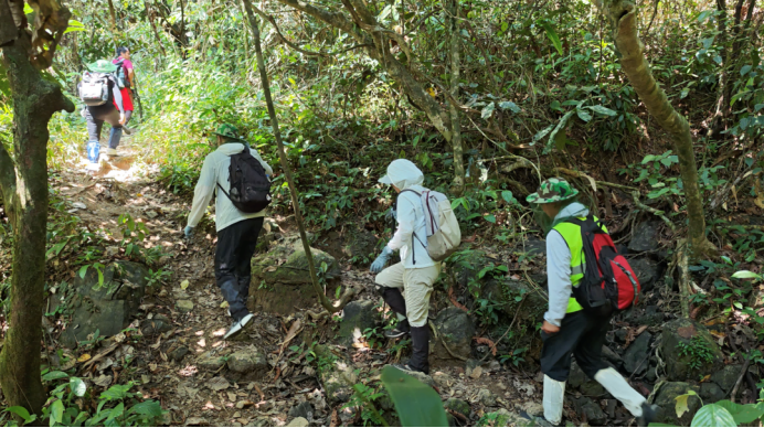
Across Asia’s rainforests, scientists continue to explore the physical limits of tree growth using advanced remote sensing. In April 2026, GreenValley International joined a scientific expedition into the Danum Valley Conservation Area of Malaysian Borneo—home to a giant _Shorea faguetiana_ long recognized as the world’s tallest tropical tree and the tallest flowering plant on Earth. The goal was not only to precisely measure the giant tree, but also to digitally reconstruct the surrounding forest ecosystem with unprecedented detail.
From Canopy Survey to Digital Reconstruction
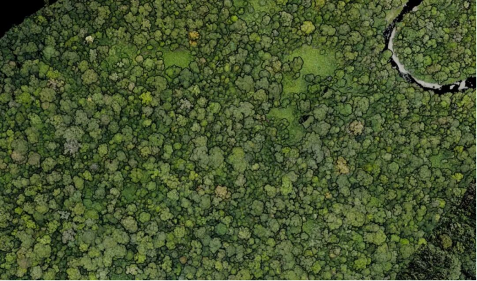
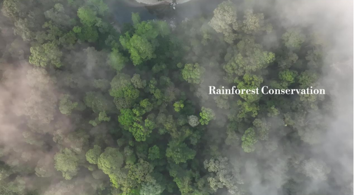
Large-scale UAV LiDAR surveys were carried out across the rainforest canopy, generating highly detailed 3D point cloud data of the entire forest ecosystem. Using ground point classification, height normalization, and individual tree segmentation, researchers analyzed tree heights across the forest structure with remarkable precision. The survey identified 118 trees taller than 70 meters and 26 trees taller than 80 meters, with the rainforest giant standing above them all.
Measuring a Living Giant
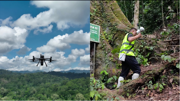
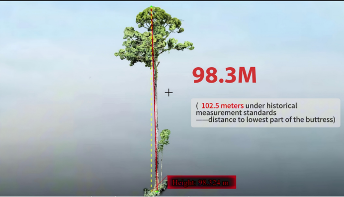
Precisely measuring a giant rainforest tree is more complex than it appears. After identifying the target tree, the team integrated UAV LiDAR and handheld LiDAR workflows to digitally reconstruct the tree from the forest floor to the canopy crown. The final survey measured the Shorea faguetiana at: 98.3 meters when measured from the seed point at the base of the tree 102.5 meters when measured from the lowest buttress root point The previous historical record measured the tree at 100.8 meters. The latest survey confirms that the tree continues to be recognized as the second tallest tree in Asia by species, the world’s tallest tropical tree, and the tallest flowering plant on Earth.
A Digital Archive of a 130-Million-Year-Old Ecosystem
The Danum Valley Conservation Area is one of the oldest and most intact tropical rainforest ecosystems on Earth, with forest history dating back more than 130 million years. Within this approximately 438 km² protected rainforest live extraordinary species including orangutans, clouded leopards, and Bornean pygmy elephants. Beyond documenting a single tree, the large-scale LiDAR dataset provides an important scientific foundation for rainforest conservation, biomass estimation, forest structure analysis, and carbon sequestration research. By combining advanced remote sensing with high-precision digital reconstruction, projects like this help scientists better understand rainforest ecosystems while creating long-term digital archives for conservation and sustainable management. Nature spent millions of years shaping these forests. With LiDAR, we can now document them with unprecedented precision.
Guess you like

Topcon and GreenValley International Collaborate on Spatial Intelligence Innovations
Strategic collaboration will bring spatial intelligence into real-world industry applications by integrating hardware, software, cloud and AI to simplify, automate and intelligently connect complex workflows across construction, machine control, infrastructure and other high-value industries.
 Company News
Forest Terrain Mapping After the Japan Earthquake
Learn how GreenValley LiGrip H120 helps survey teams capture beneath-canopy terrain data quickly and safely after earthquake-triggered landslides.
Case Studies
GreenValley International Inc (GVI), headquartered in Berkeley, California, is a leading innovator of 3D mapping technologies. GVI provides a wide range of advanced aerial, terrestrial, and mobile LiDAR survey and mapping hardware systems and cutting-edge software as well as turnkey solutions. Our portfolio includes airborne, handheld, mobile, and backpack laser scanning platforms, as well as point cloud processing software such as the LiDAR360 LiDAR data processing platform. GVI focuses on LiDAR and image fusion technology, specializing in LiDAR, UAV, SLAM, Photogrammetry, and other technologies to achieve an accurate digital representation of three-dimensional space. As we continue to expand our reach and technological capabilities, GVI remains committed to driving innovation and pushing the boundaries of what's possible in the LiDAR space.