Subscribe

The application of LiDAR terrain scanner LiAir X3-H in the field of surveying and mapping

-- 01 Dec 2023 --

LiAir X3-H is a high-precision LiDAR terrain scanner based on the principle of lidar measurement, widely used in the field of surveying and mapping. It determines the target position and height by emitting high-frequency laser pulses, and collects scene data using high-speed rotating LiDAR sensors, which can quickly and accurately measure terrain, buildings, and vegetation. In the field of surveying and mapping, LiAir X3-H are widely used, such as:
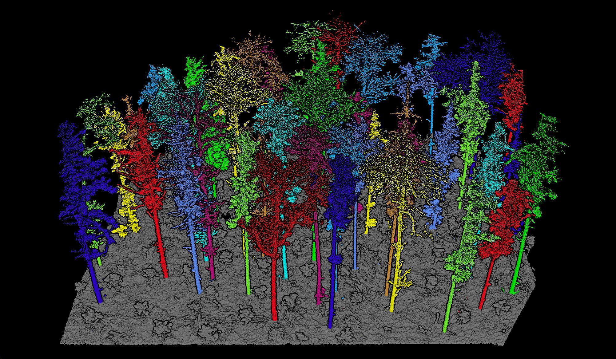
 
The application of LiDAR terrain scanner LiAir X3-H in the field of surveying and mapping


1. Mapping and terrain modeling

By scanning the terrain with LiAir X3-H , a large amount of data can be obtained, and then processed using 3D modeling software to generate high-precision digital maps and 3D models. These data can be used for urban planning, land use planning, road construction, and other aspects.


2. Creating a digital elevation model

Digital elevation model is a mathematical model that describes the elevation difference of terrain surface, which can be used for flood prediction, terrain analysis, and building design. Compared with traditional terrain measurement techniques, LiAir X3-H have incomparable advantages in elevation accuracy, measurement speed, measurement range, and other aspects.


3. Creating a digital city model

The digital city model is an advanced form of digital city that can simulate the evolution process of future cities, allowing planners to better understand the structure and development trends of cities. By scanning buildings, roads, and scenic spots with LiAir X3-H , high-precision digital city models can be generated, providing more accurate data support for urban planning and design.


Recommended Articles

HOW CAN WE HELP YOU?
Message us your questions and contact information.
We’ll get back to you right away!