LiDAR, as a high-accuracy detection instrument, can easily acquire measurements needed to produce three-dimensional point cloud models of forests with centimeter-level accuracy. With the recent advancement of LiDAR technologies, collecting forest inventory data has become easier than ever. GVI’s turnkey Applications for forest industries include hardware and software products that make LiDAR data collection, processing, and analysis possible and easy.

Cost-effective Products

Multiple Applications

Turnkey Solution

Most Efficient Software
Why do you need our Applications for Forestry
 Efficient Pre-processing Module
Efficient Pre-processing ModuleLiDAR360 MLS has nearly 100 point cloud processing and editing tools. It supports point cloud and camera images of mainstream mobile mapping systems on the market for processing and mapping. Combination display of multiple attributes, with additional attributes, to meet more application requirements.
 Accurate Ground Point Classification
Accurate Ground Point ClassificationIn LiDAR360, we support a variety of terrain scene calculation models, and automatically adjusts parameters according to the models to ensure that the ground point classification can obtain ideal results.
 Smart Tree Segmentation
Smart Tree SegmentationThrough this function, each tree can be separated from the forest point cloud and the property table can be formed. LIDAR360 built-in world-leading algorithm, help you to improve the accuracy of Tree segmentation effectively.
 Rich Parameter Extraction
Rich Parameter ExtractionWith LiDAR360, we can extract the location, height, DBH, crown diameter, north-south crown diameter, east-west crown diameter, crown area, crown volume, height under branches, trunk volume and other attributes of each tree in the forest. At the same time, we can obtain the elevation, slope, slope direction and other attributes of a single tree through Software.
Case Studies

Carbon Stock Calculations
Accurately measuring carbon stock is vital for tackling climate change and protecting ecosystems. Traditional field surveys are slow and labor-intensive, but LiDAR technology offers a faster, more precise way to capture forest structure and estimate biomass. By combining GreenValley International’s LiBackpack DGC50H with LiDAR360 software, researchers and forest managers gain a powerful end-to-end solution for efficient data collection, advanced analysis, and reliable carbon stock assessment—laying the foundation for sustainable forest management and climate resilience.
Read More


Forestry Applications
If you are interested in learning more about the applications above, take a few minutes to read the following article, which explains how GreenValley International (GVI) products are applied to meet standard forest inventory and management objectives.Just a few years ago, people were only able to use remote sensing imagery and photogrammetric data products to determine the stocking level of a forested area. Information from these sources is combined within the field measurements collected by hand to answer the questions stated at the beginning of this article. However, now with the recent adva···
Read More
Applications
 Stock Calculation
Stock CalculationForest stock is one of the important indicators to measure the quantity of forest, which can directly reflect the quantity and quality of forest resources. It has become an urgent need to obtain the information of forest stock accurately.
 Biomass Calculation
Biomass CalculationBiomass is an important variable to evaluate the carbon sequestration and carbon balance capacity of forest ecosystems. Accurate calculation of forest biomass is important to study the carbon cycle of terrestrial ecosystems.
In LiDAR360, the biomass parameters we provided include surface biomass (AGB), underground biomass (UGB), stock volume (V), enrichment factor (BCF), root-shoot ratio (RSR).
 Spatial 3D Green Quantity Calculation
Spatial 3D Green Quantity CalculationSpatial 3D Green Quantity Calculation is an index to evaluate the difference of spatial structure and ecological function of vegetation, which can accurately reflect the change of urban green landscape in alleviating heat island effect, purifying atmosphere, soil and water conservation, biodiversity and so on.
 Species Identification
Species IdentificationThe ground-based forestry module of LiDAR360 includes the tree species identification function, which supports the matching of single tree point cloud data, panoramic images and corresponding seed point data. Combined with manual recognition, tree species identification can be achieved through attribute table recording.
 Carbon Reserves Calculation
Carbon Reserves CalculationVegetation carbon storage is an important parameter to reflect its carbon sink capacity, and its dynamic change is a key index to measure the carbon sink capacity of vegetation.


 LiDAR360
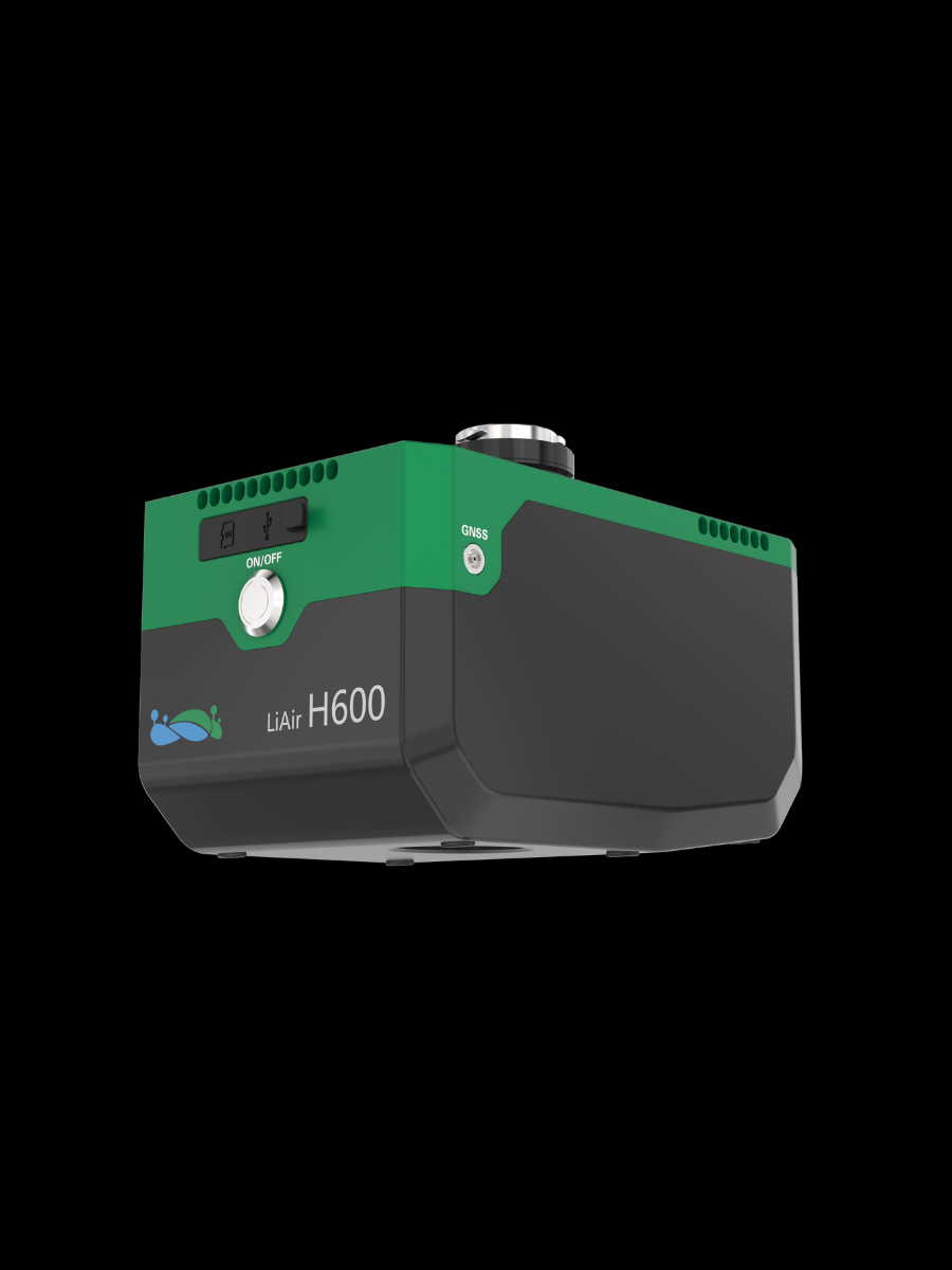 LiAir H600
 LiAir H800
 LiBackpack DGC50H