

Products
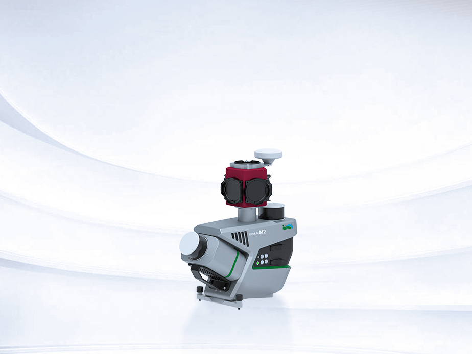
LiMobile M2
Affordable Mobile Laser Scanning System
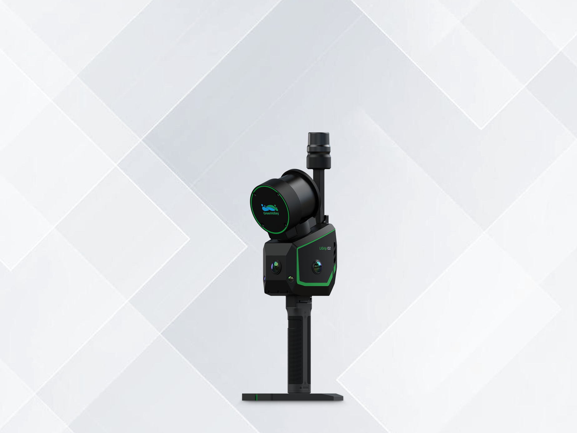
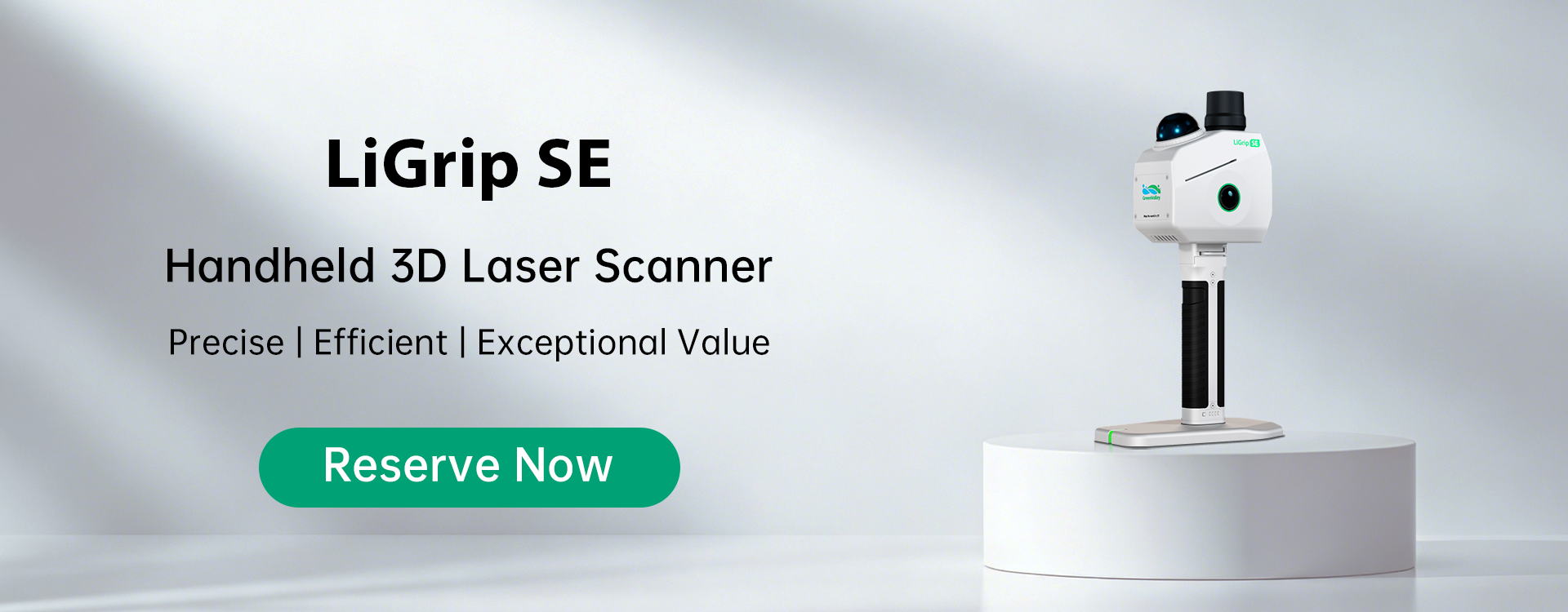
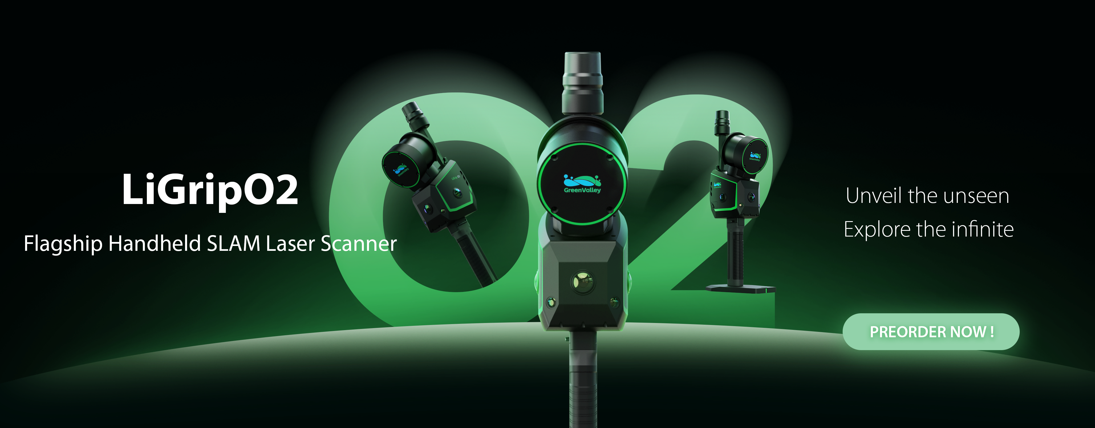
LiGrip O2
Flagship Handheld SLAM LiDAR Scanner
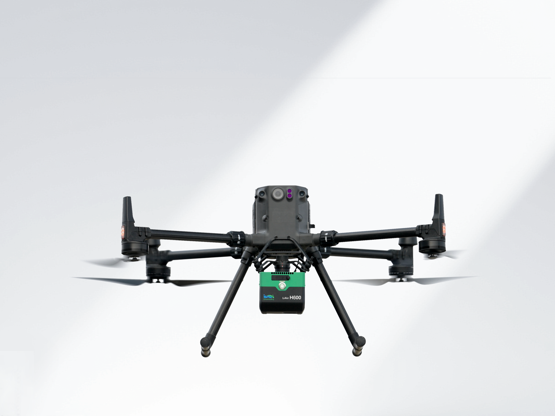
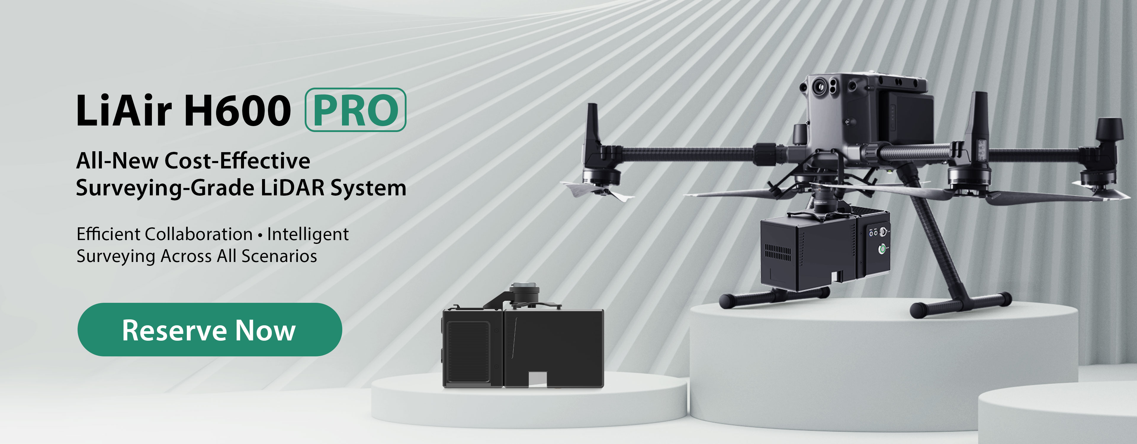
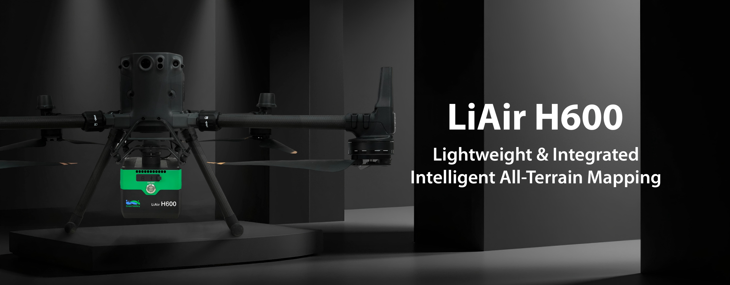
LiAir H600
Compact Long Range UAV LiDAR System
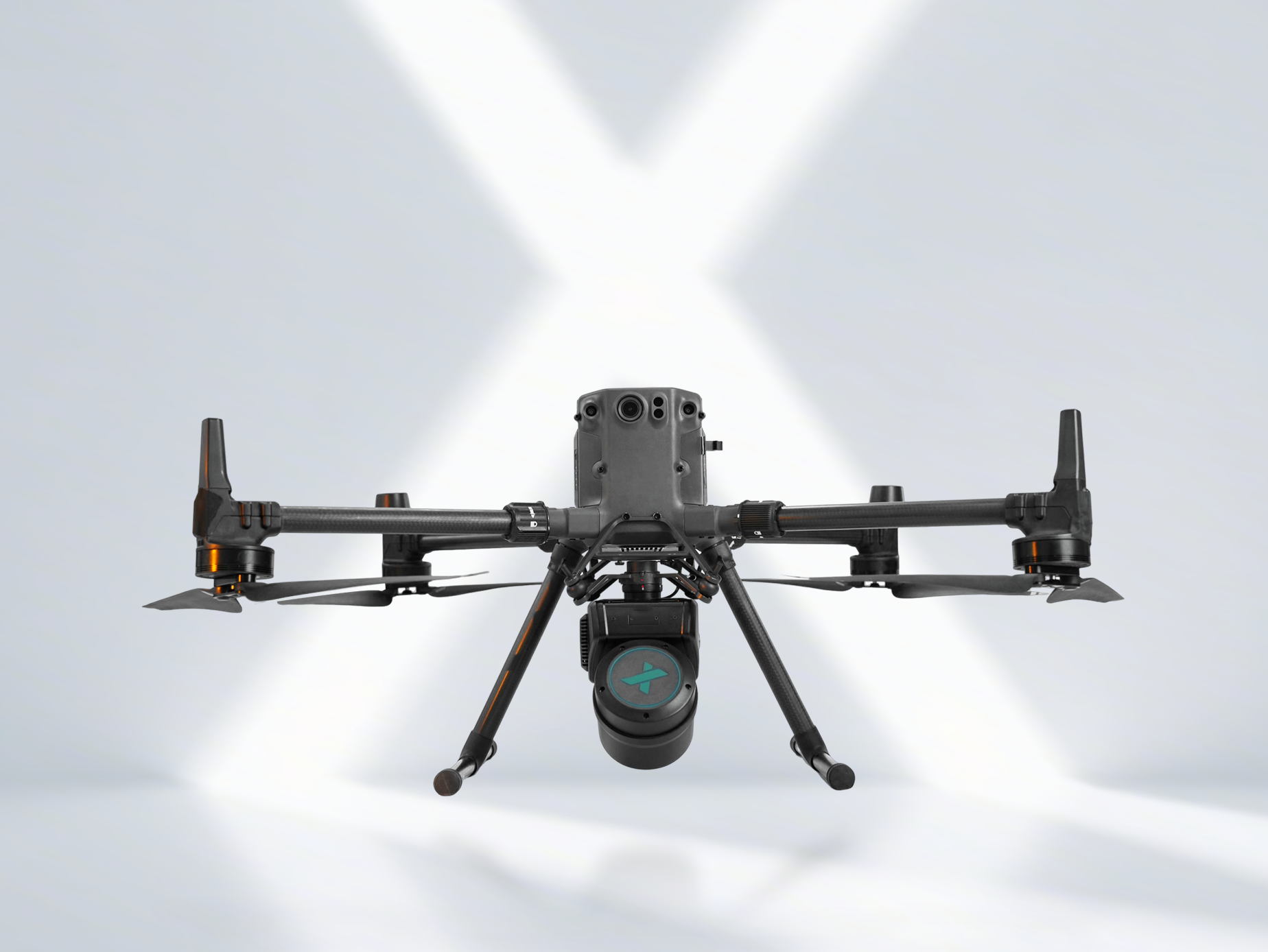
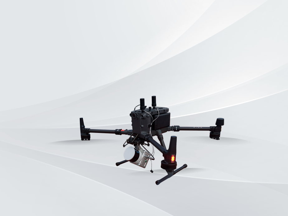
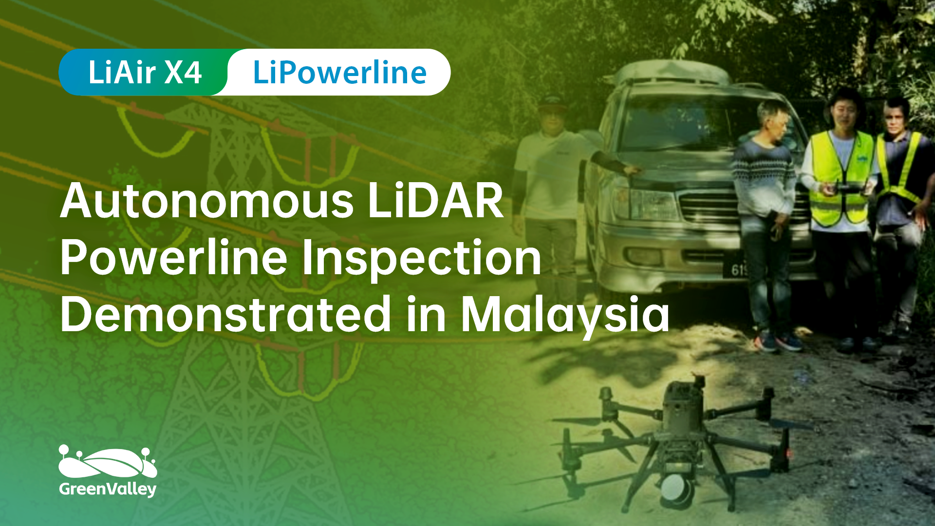
LiAir X4
Autonomous Flight LiDAR Data Acquisition System
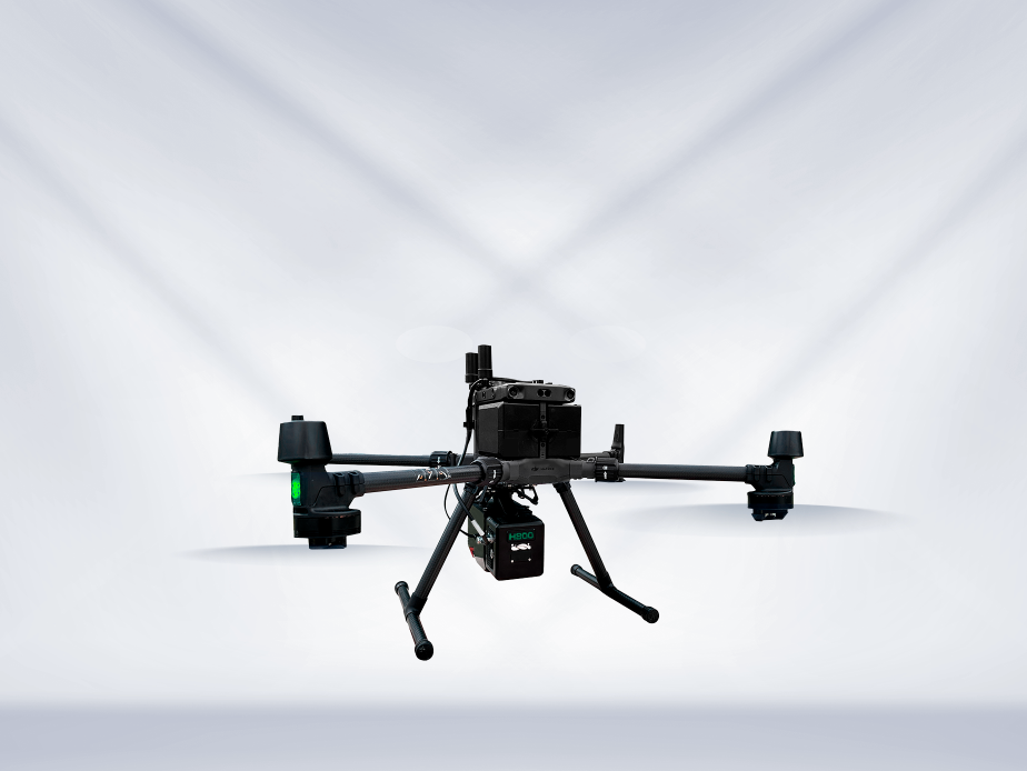
LiAir H800
UAV LiDAR System
LiAir X3C
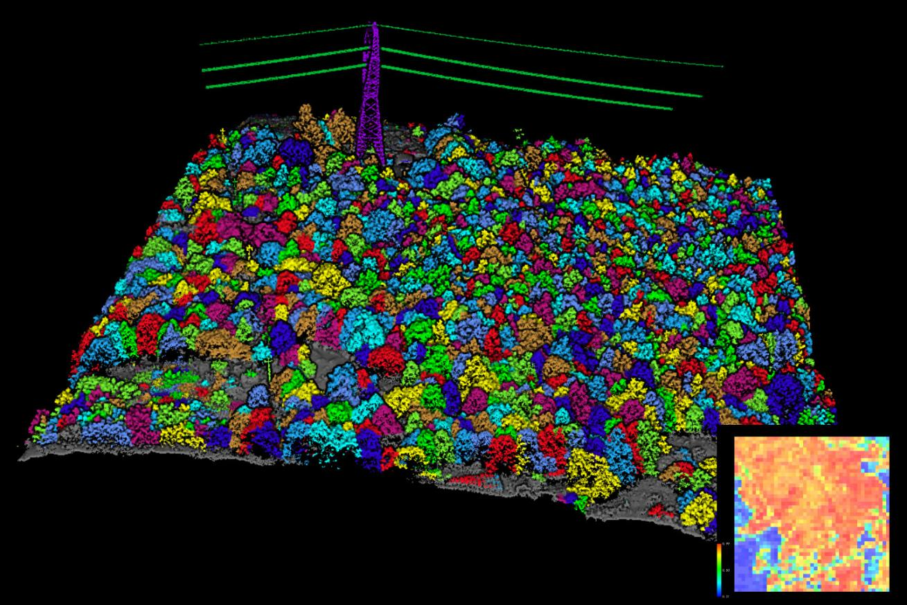
Powerline Intelligent Inspection System
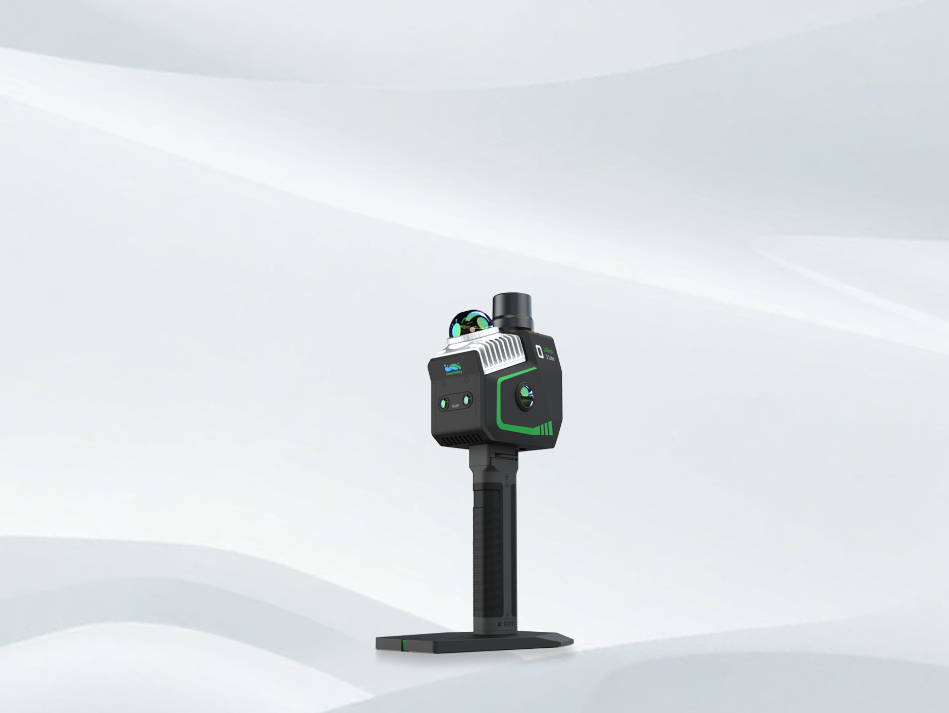
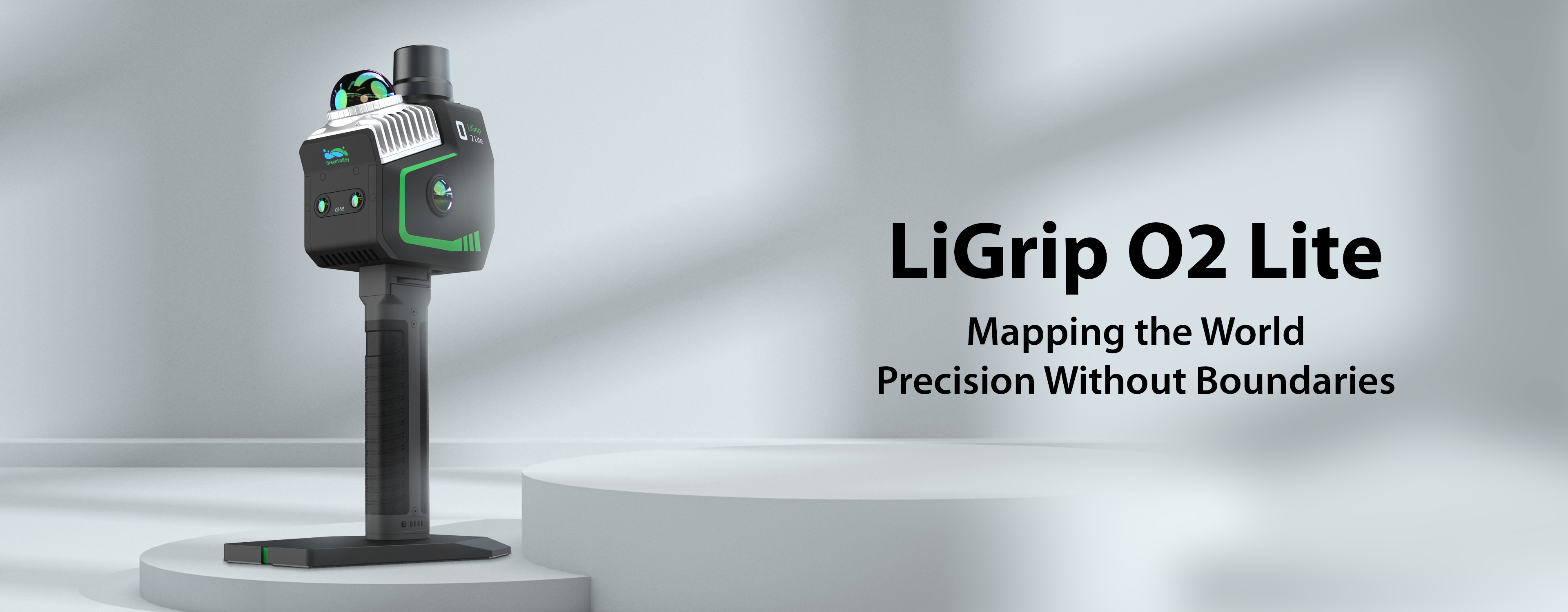
LiGrip O2 Lite
All-Scenario Handheld SLAM LiDAR Scanner

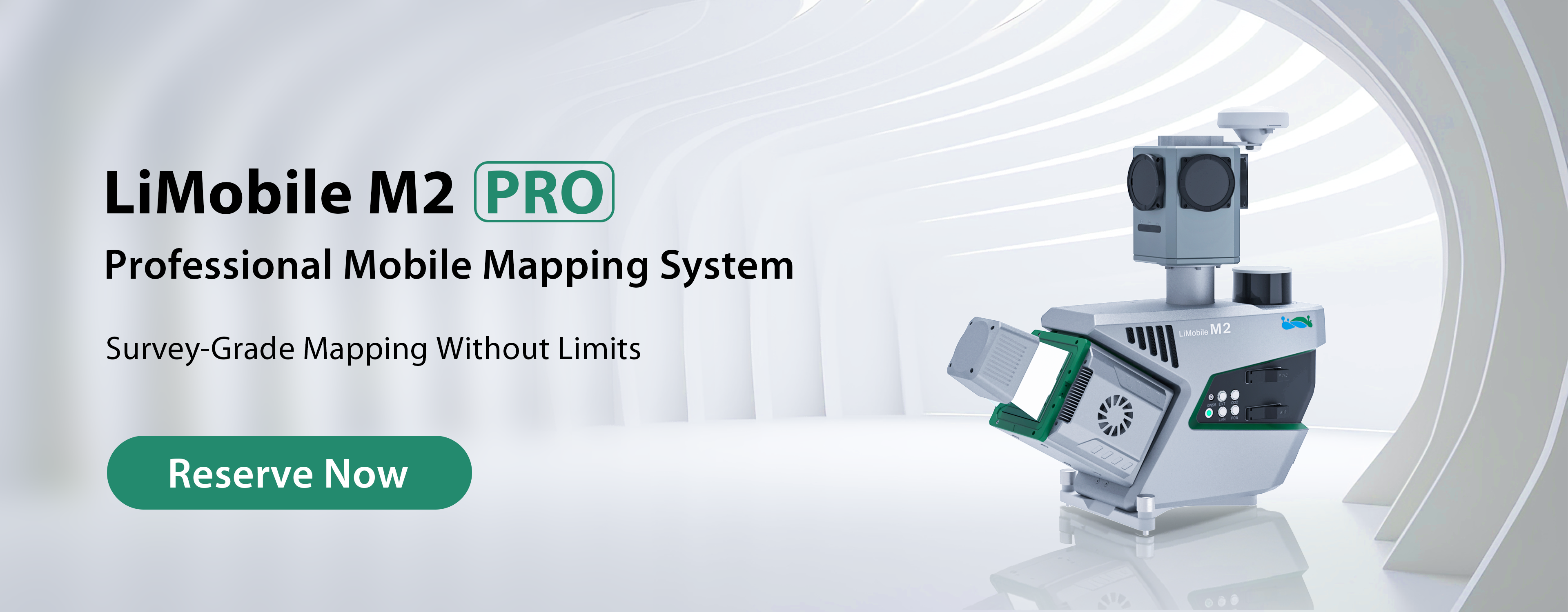
LiMobile M2 Pro
Surveying-Grade Mobile Laser Scanning System
Software
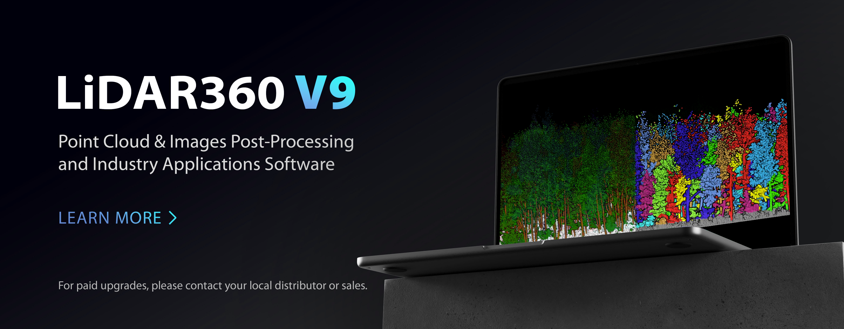
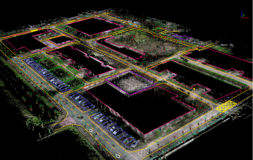
LiDAR360
Professional grade lidar Point cloud Processing Platform
LiDAR360 MLS
PointCloud Feature Intelligent Extractionand Analysis Software
LiPowerline
Point Cloud Processing Software for Power Line Inspection & Analysis
Applications
 ForestryLearn More
 Power LineLearn More
  TerrainLearn More
  MiningLearn More
  UtilitiesLearn More
  HD MapsLearn More
 Case Study


Article
How GreenValley LiDAR Revealed the World’s Tallest Tropical Tree?

How to Produce Canopy Height Models (CHM) in Steep Terrain - LiDAR Data Point Cloud Processing
How to Improve LiDAR Data Quality and Results - Point Cloud Smoothing
GreenValley International Inc (GVI), headquartered in Berkeley, California, is a leading innovator of 3D mapping technologies. GVI provides a wide range of advanced aerial, terrestrial, and mobile LiDAR survey and mapping hardware systems and cutting-edge software as well as turnkey solutions. Our portfolio includes airborne, handheld, mobile, and backpack laser scanning platforms, as well as point cloud processing software such as the LiDAR360 LiDAR data processing platform. GVI focuses on LiDAR and image fusion technology, specializing in LiDAR, UAV, SLAM, Photogrammetry, and other technologies to achieve an accurate digital representation of three-dimensional space. As we continue to expand our reach and technological capabilities, GVI remains committed to driving innovation and pushing the boundaries of what's possible in the LiDAR space.
