Subscribe

GVI Solution in AEC Industries

-- 20 May 2021 --

Try to think about the following situations. You are an employee hired by a municipal government, and they need you to map several blocks (including the streets and the buildings inside); or, you have undertaken a construction project and currently you need to know how much of the project is completed each day; or even more difficult, you have a very large building that needs to be modeled and managed, but all this needs to be completed in a very short time. What will you do?


Without the LiDAR technology, all these tasks can be done, but with more working hours and longer duration. Now, there is a much powerful and effective method to handle all these tasks, LiDAR scanning. LiDAR allows users to acquire the 3D model of the region of interest (ROI) in anextremely fast and efficient way.


GreenValley International (GVI) offers the most advanced and reliable LiDAR equipment which helps users obtain the point cloud with highaccuracy and high-density. Also, the software offered by GVI gives users a perfect user experience when georeferencing and process the point cloud data. Last but not least, GVI’s software allows users to export the point cloud data into various data formats which can be imported by third-party software for further process and generate different kinds of 3D models.


Land Surveying


Land surveying is an art and science which aims to identify the locations of property boundaries and features. Land surveys are commonly carried out to support site-planning, construction, or topographic mapping projects.

01.jpg


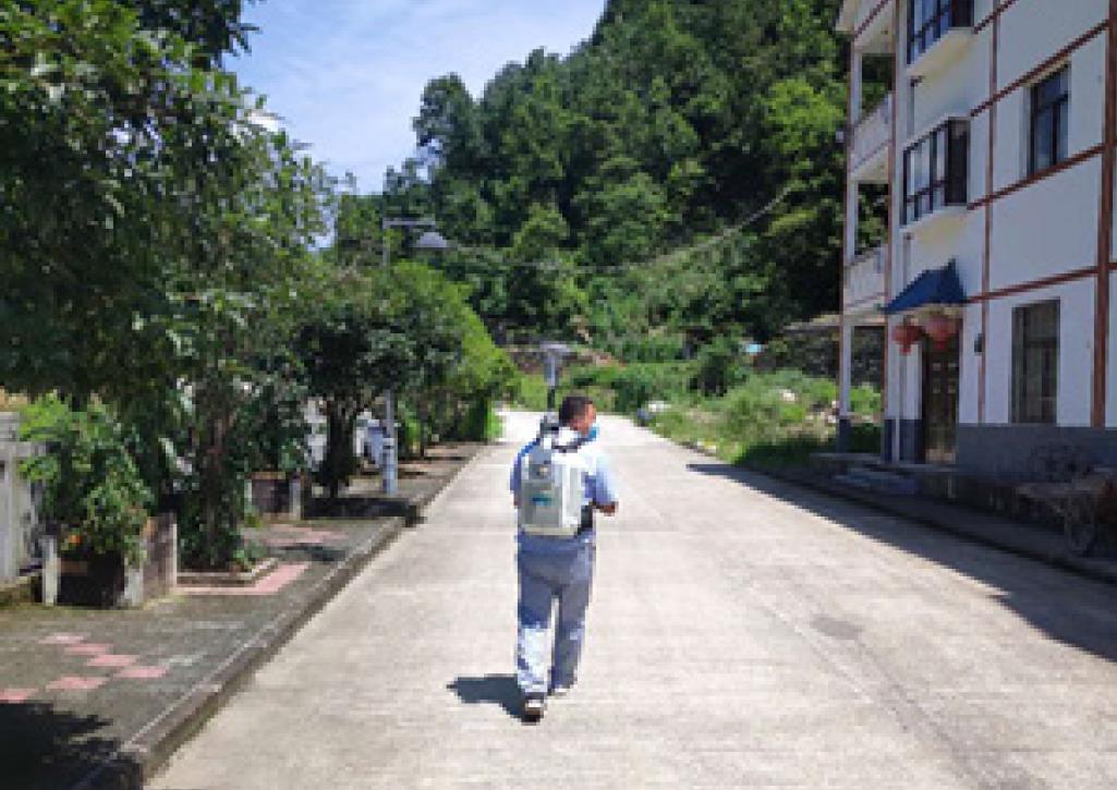
Land surveyors typically have to adhere to strict accuracy requirements and ground control points (GCP) as well as survey checkpoints (CP) are often needed to improve and assess the accuracy of data collected with GVI’s equipment. Surveyors will often place reflective tape at locations where GCPs and CPs are placed to make them easier to identify in the LiDAR point cloud data. Total stations are also commonly used to measure the precise 3D-coordinates of GCPs and CPs.


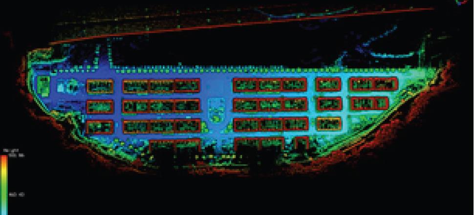
GVI’s LiBackpack DG50 features an integrated GNSS module which allows for easy georeferencing of the point cloud data. Post-processing of the LiBackpack DG50 data is carried out in GVI’s LiFuser-BP. This software also contains tools that can be used to assess the horizontal and vertical accuracies of point clouds using survey CP data.

02.jpg


Road and Highway Mapping


Road and highway mapping is carried out to support many transportation planning and maintenance projects. GVI’s LiMobile platform for LiDAR and image collection can be used to efficiently complete these types of mapping projects. GVI’s LiDAR360 is able to handle the massive amounts of data that LiMobile can collect. And GVI’s LiFuser-BP software allows panoramic image roaming to give its users a 1st-person perspective of the mapped environment.


03.jpg


BIM


BIM, or building information model, refers to a digital representation of the physical and functional characteristics of a facility. Sometimes referred to as “digital twins”, these models help inform decision-makers during a building’s or facility’s life-cycle. BIM models are typically shared by the AEC team and the owner or facility operator. They also serve as high-fidelity dynamic records that can be updated as changes are made to initial blueprints during construction or overtime as renovations occur and maintenance activities take place.


04.jpg


GVI’s LiBackpack systems are powered by an advanced SLAM algorithm. Based on information from the LiDAR sensor and IMU, the SLAM algorithm can compute the relative location from each point within the surrounding to its nearby features and thereby produce a 3D point cloud of indoor spaces. Point clouds collected with LiBackpack and processed by LiFuser-BP software can easily be imported into third-party software programs for generating 3D mesh or vector models.


Recommended Articles

HOW CAN WE HELP YOU?
Message us your questions and contact information.
We’ll get back to you right away!