Subscribe

High Definition Maps - Roadway Application

-- 25 Jun 2021 --

Data Acquisition


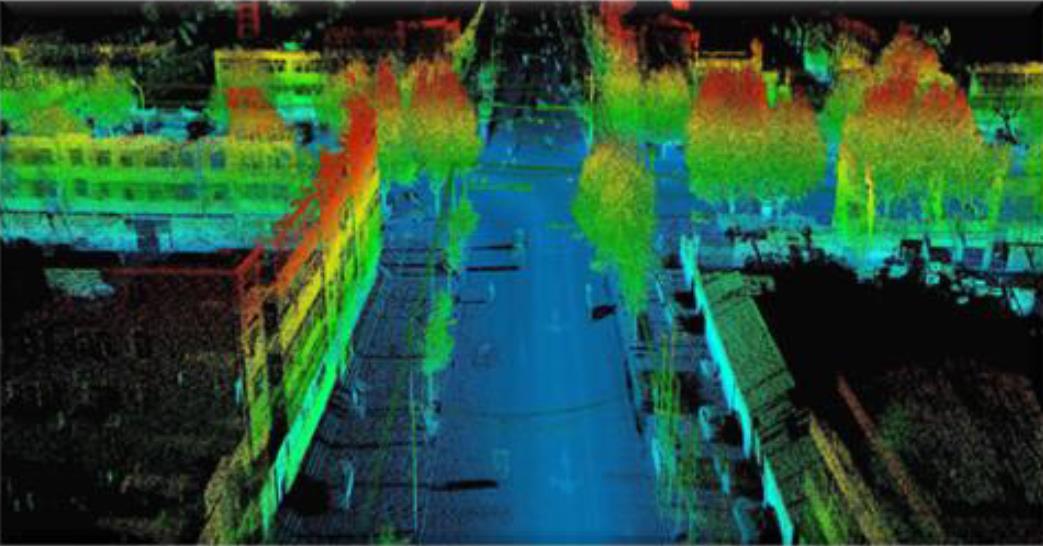
GreenValley International's diversified set of HD mapping technologies are designed to acquire data in both indoor and outdoor environments. 
01.jpg


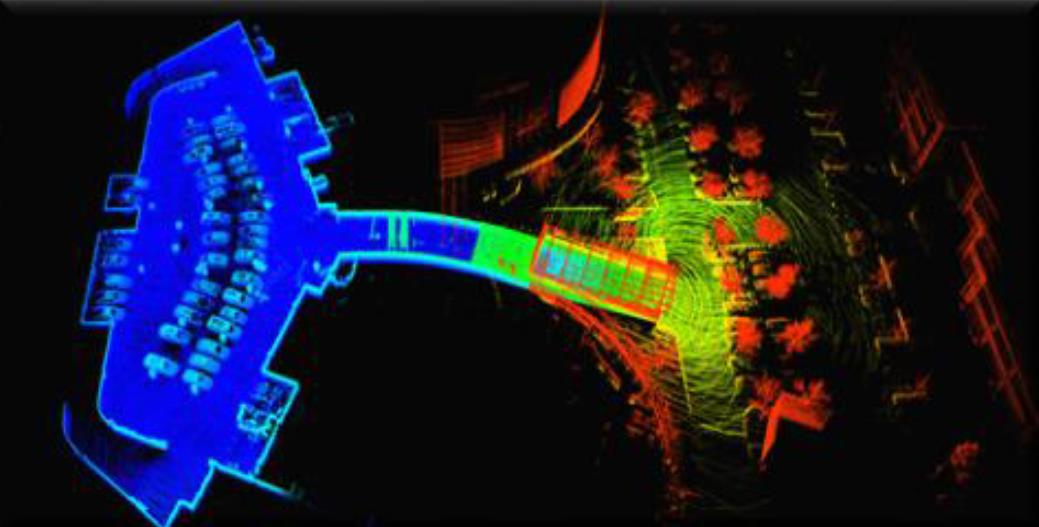
SLAM algorithms allow GreenValley lnternational's HD mapping systems to function properly in GNSS-denied settings.
02.jpg


Data Fusion


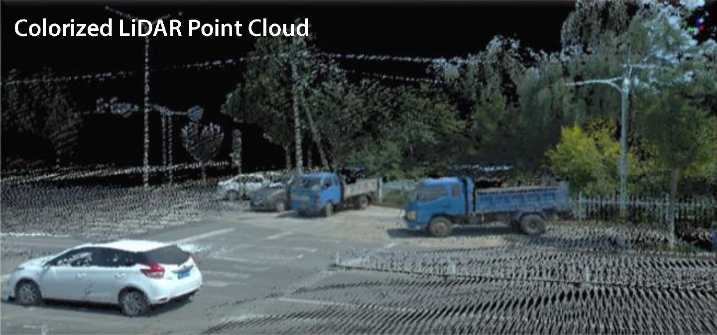
Spatially overlapping images and point clouds can be merged or fused using GreenValley software solutions for creating colorized 3D data sets in HD.
03.jpg


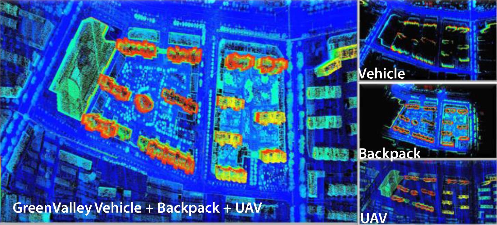
Fusion of LiDAR collected from multiple data collection platforms (e.g., vehicle, backpack, and UAV) can create HD maps that provide maximum 3D spatial coverage.
04.jpg


Object Detection


GreenValley International develops powerful software tools that automate detection, classification, and extraction of crucial HD map objects and elements, offering an efficient way to process massive volumes of point cloud data.
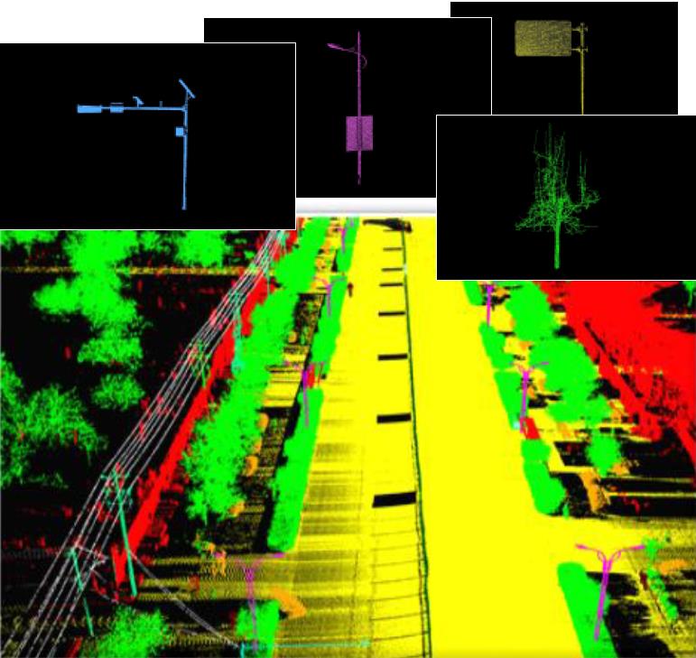
05.jpg


Vectorization & Mapping


GreenValley International software solutions can easily vectorize, recognize, and edit HD map road elements extracted from 3D point cloud data and imagery.
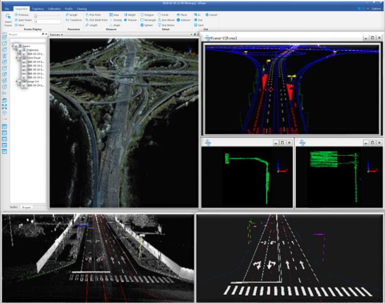
06.jpg

Recommended Articles

HOW CAN WE HELP YOU?
Message us your questions and contact information.
We’ll get back to you right away!