Latvian Forest Scanning Application
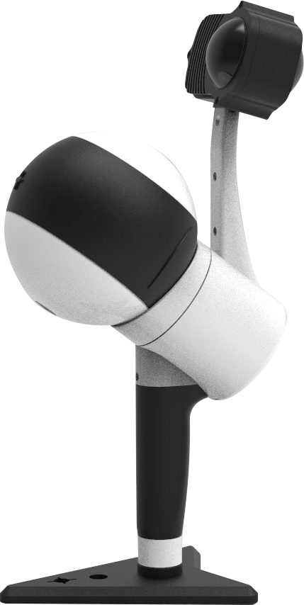
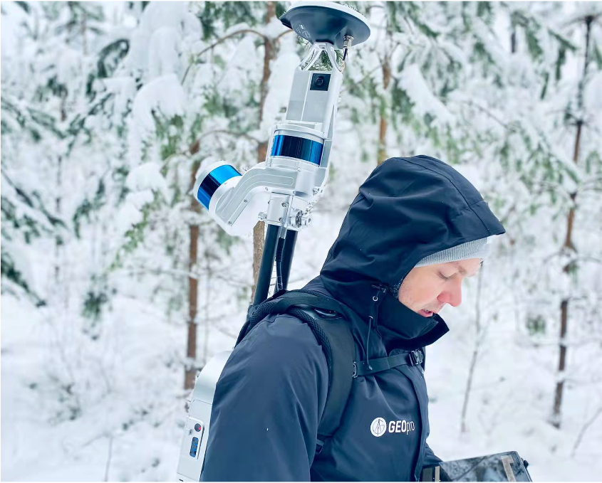
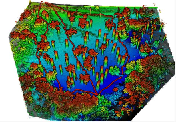
The Latvian Forest Scanning Application is a project aimed at extracting and classifying every tree with a diameter greater than 15 centimeters along the border between Latvia and Belarus. The project uses the LiBackpack DGC50, which integrates a horizontal and vertical dual laser sensors, a GNSS antenna module, and a panoramic color camera to scan the forest area and obtain point cloud data. The obtained data is then processed using LiFuser-BP and LiDAR360 software to extract seed points, calculate tree parameters, and classify tree species. The article provides details about the project plan···
READ MORE >>