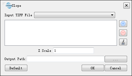
 to import Tiff data.Delete the imported Tiff data by clicking
  .Clear all the imported data by clicking
 .
- **ZScale (default value is "1")**: The stretch scale of the Z value.
- **Output path**: The path where the generated slope map file to be saved.
- **Default Value**: Click this tool option to restore all default parameters.
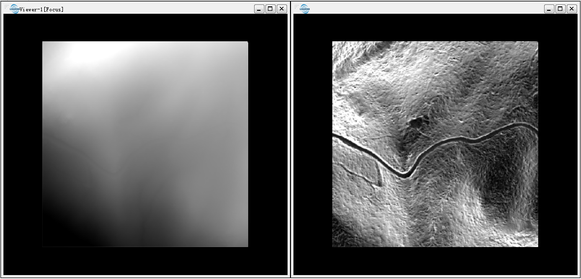
DEM (left below) and slope map (right below).
.
- **ZScale (default value is "1")**: The stretch scale of the Z value.
- **Output path**: The path where the generated slope map file to be saved.
- **Default Value**: Click this tool option to restore all default parameters.
DEM (left below) and slope map (right below).