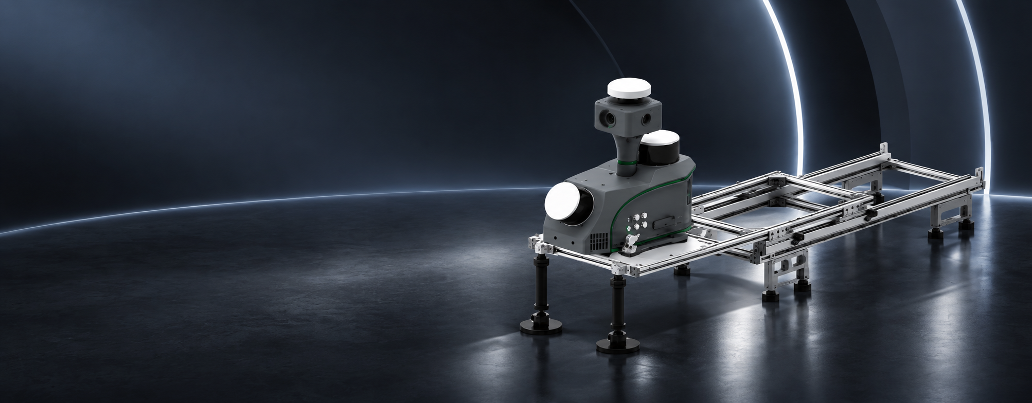
LiMobile M2 Lite
Cost-Effective Mobile Laser Scanning System

Weight

Range

Absolute Accuracy

Panoramic Camera

Full-Scenario SLAM

End-to-End Processing & Delivery

AI Algorithm

Multi-Sensor Fusion

High-Value Panoramic Imaging
The in-house-developed 30 MP panoramic camera delivers clear, detailed imagery at a more accessible camera cost for professional mobile mapping workflows.
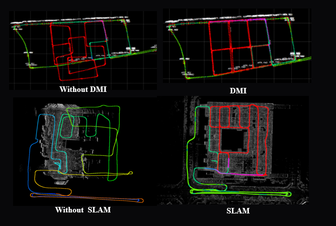
Multi-Scenario High-Accuracy Mapping
DMI constrains vehicle motion on open-road loops, while LiDAR SLAM preserves spatial consistency through urban canyons, dense tree cover, tunnels, and other GNSS-challenged environments.
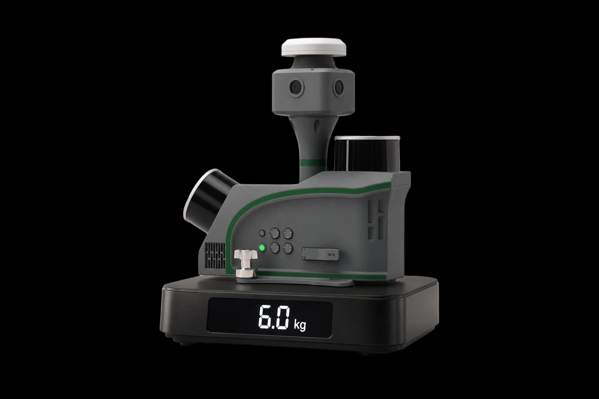
Lightweight Entry. Professional Capability. Maximum Value.
A 6 kg main unit, flexible sliding mount, and integrated acquisition-to-delivery workflow support rapid field deployment while retaining professional mobile mapping capability.
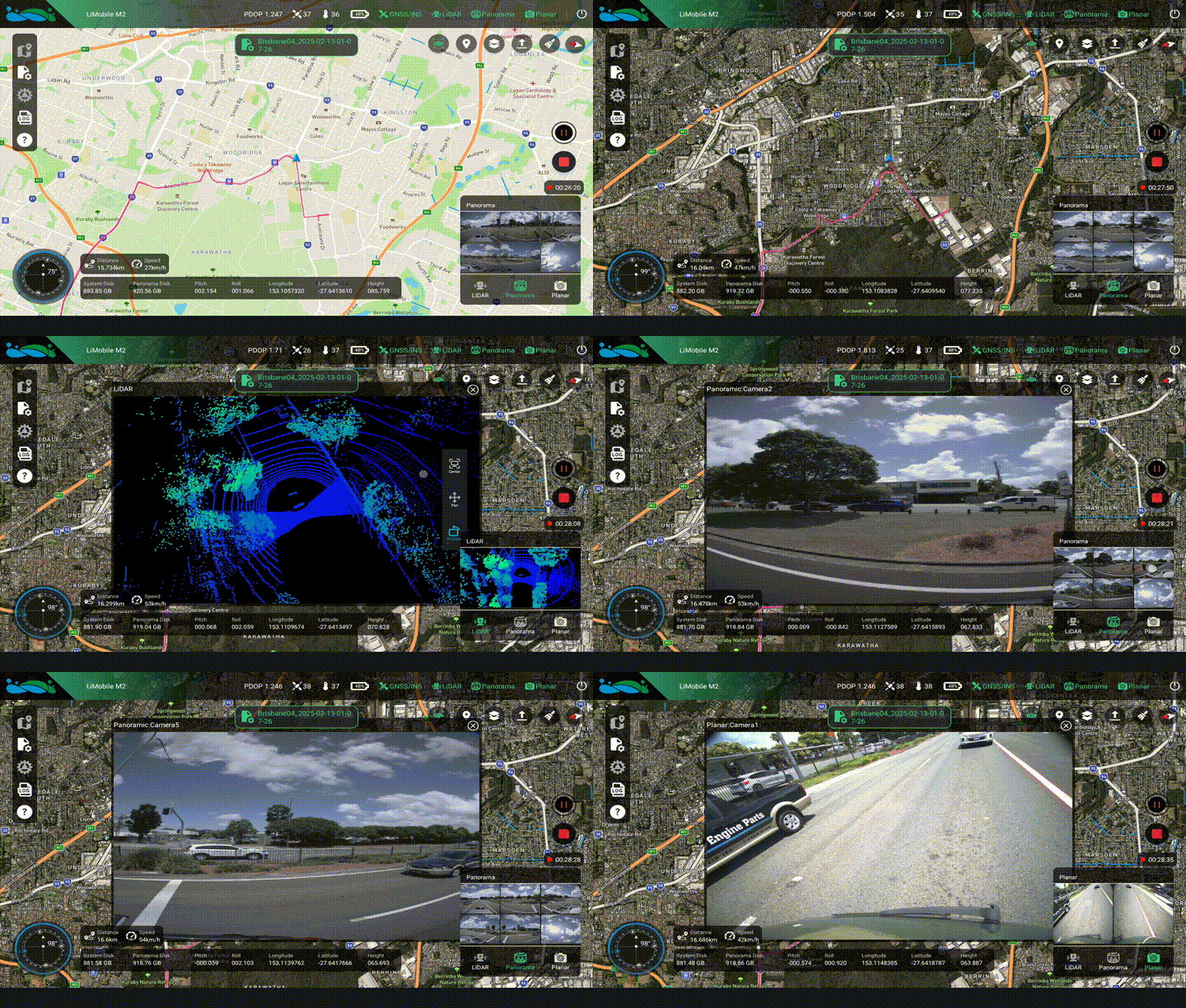
Instant Insight, Total Control
The GreenValley APP provides real-time point-cloud and image preview, collected-trajectory preview, equipment-status monitoring, and workflow-guided operation.
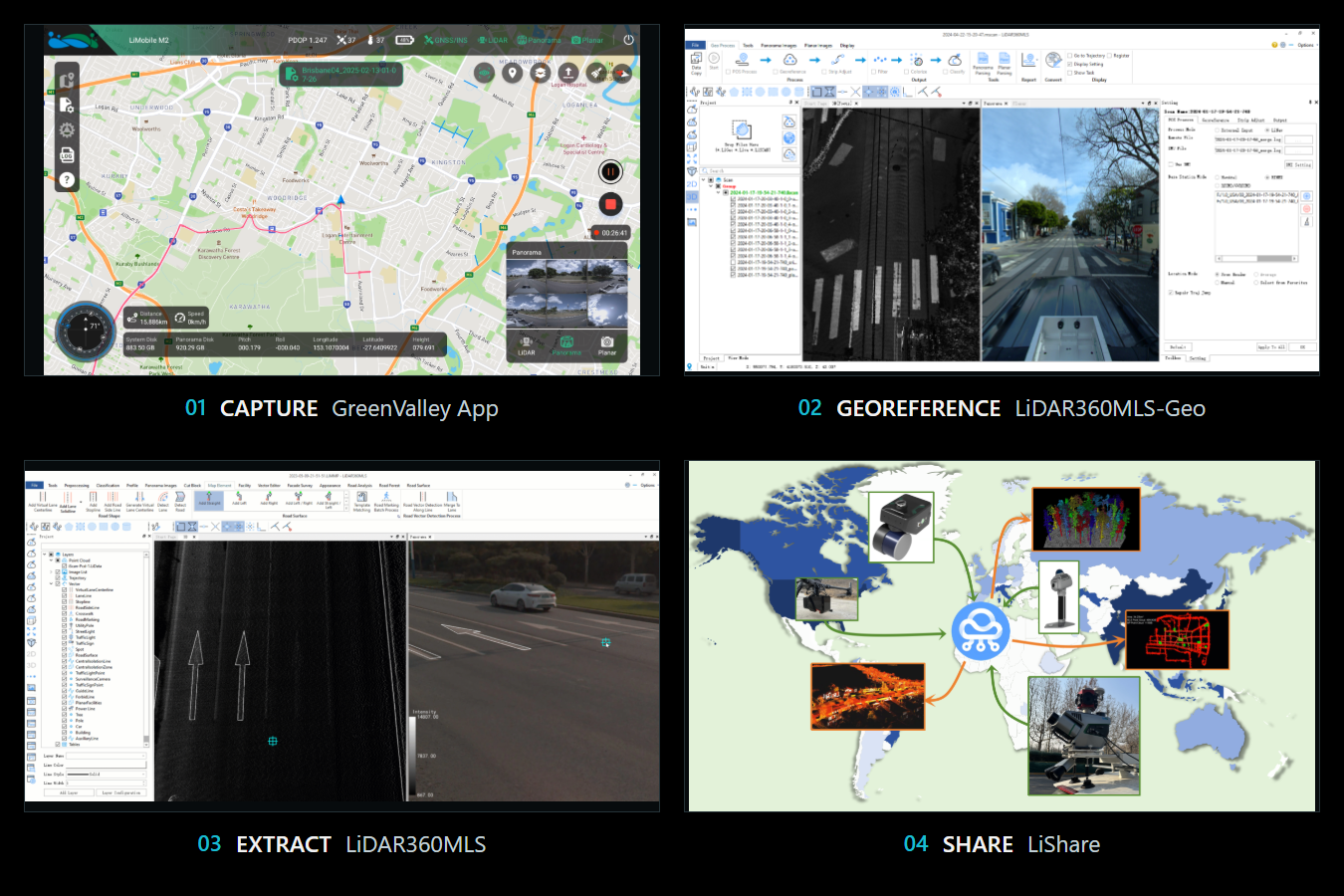
End-to-End Processing & Delivery
One connected workflow—from field capture to project-ready delivery.
Application Scenarios
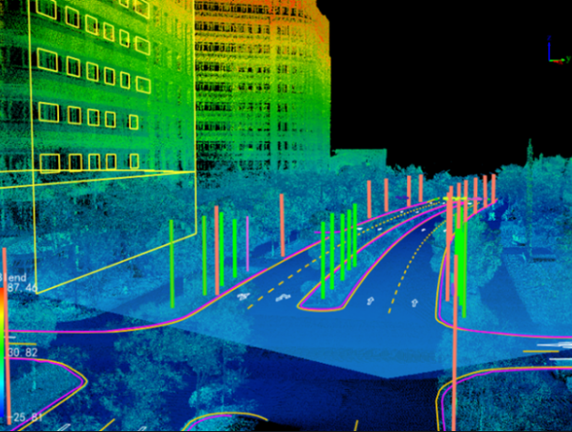 GIS Asset
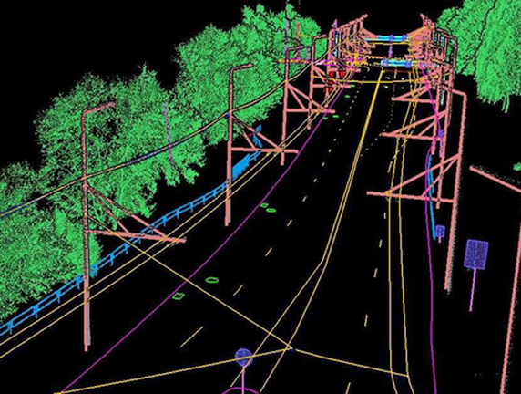 Holographic Digitalization of Road Elements
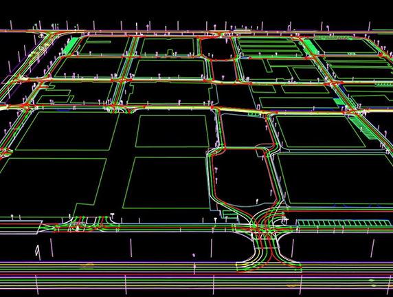 HD Map
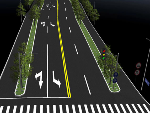 Digital Twin
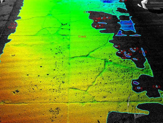 Road Maintenance Analysis
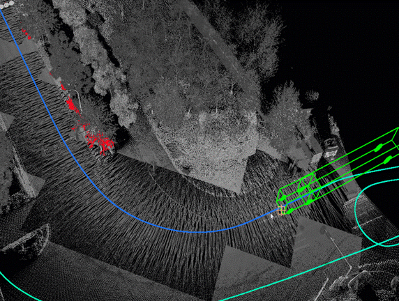 Vehicle Passability Analysis
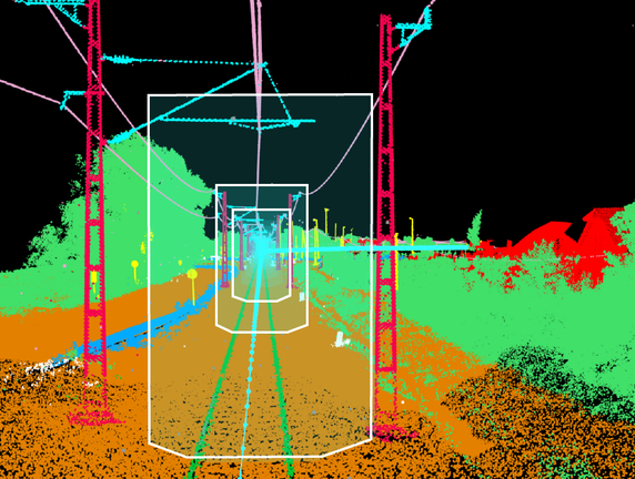 Railway Safety Analysis
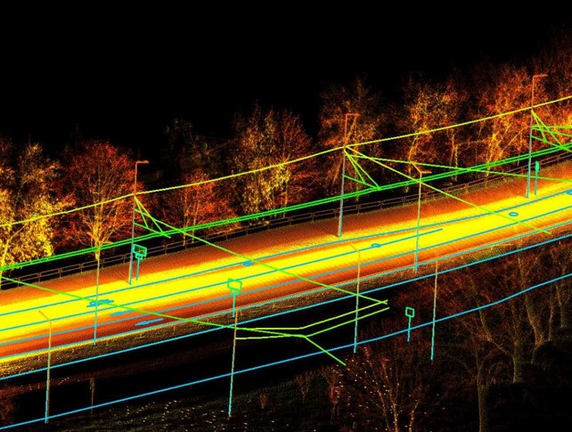 Urban Power Survey and Analysis
GreenValley International Inc (GVI), headquartered in Berkeley, California, is a leading innovator of 3D mapping technologies. GVI provides a wide range of advanced aerial, terrestrial, and mobile LiDAR survey and mapping hardware systems and cutting-edge software as well as turnkey solutions. Our portfolio includes airborne, handheld, mobile, and backpack laser scanning platforms, as well as point cloud processing software such as the LiDAR360 LiDAR data processing platform. GVI focuses on LiDAR and image fusion technology, specializing in LiDAR, UAV, SLAM, Photogrammetry, and other technologies to achieve an accurate digital representation of three-dimensional space. As we continue to expand our reach and technological capabilities, GVI remains committed to driving innovation and pushing the boundaries of what's possible in the LiDAR space.