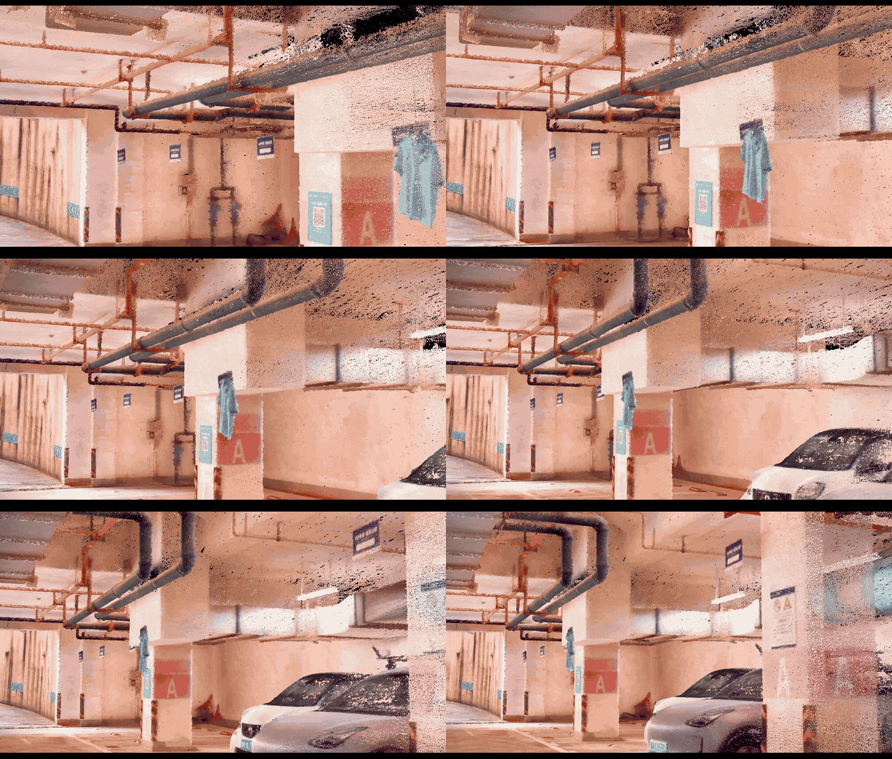
Colored Point Cloud


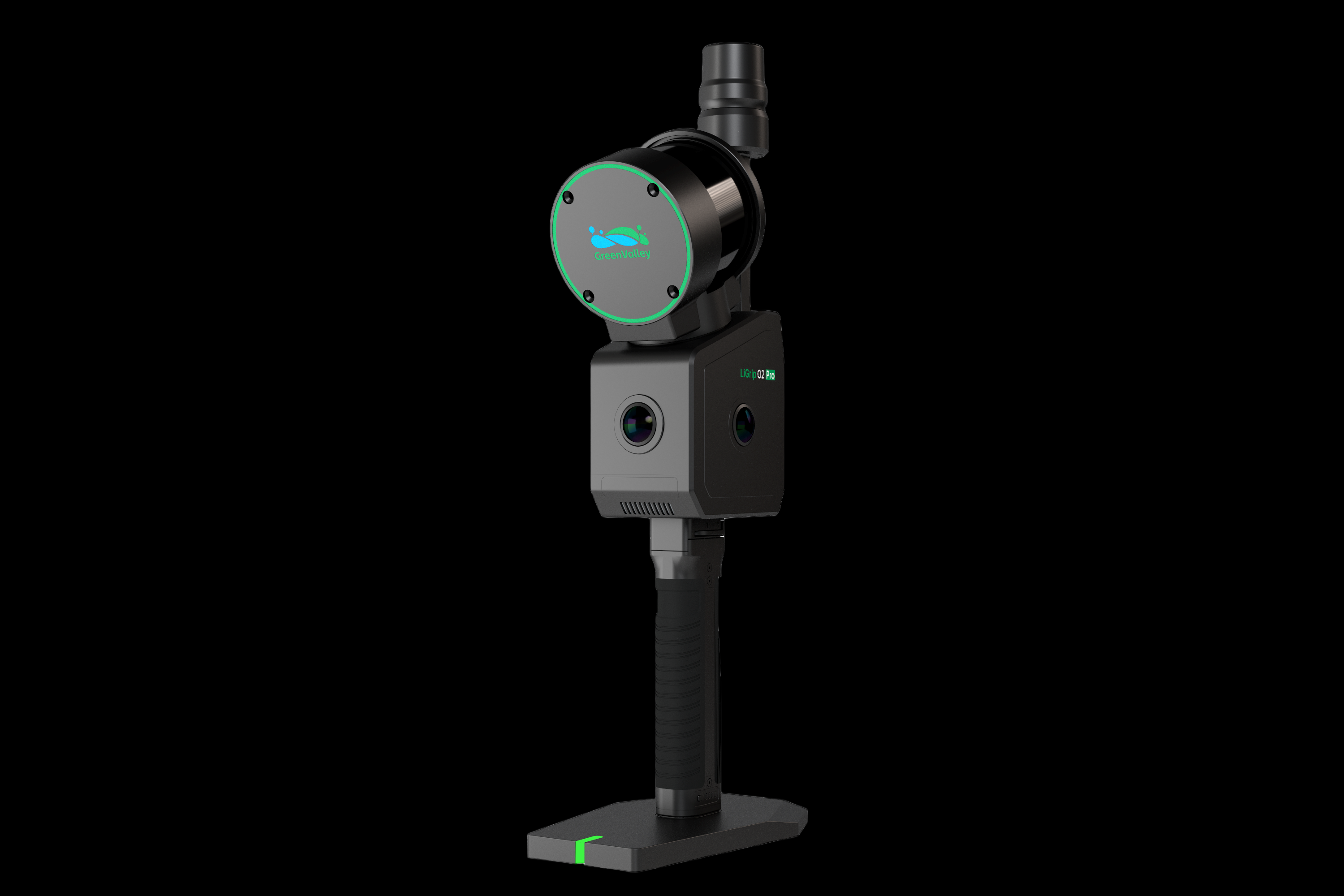
LiGrip O2 Pro is a high-end imaging-grade handheld SLAM scanner developed by GreenValley International. Three 1-inch CMOS sensors, a 640,000 pts/s LiDAR and self-developed multi-sensor SLAM technology deliver survey-grade point clouds, panoramas, 3D Gaussian Splatting and mesh data from one capture.
Weight
1.68 kg
Relative Accuracy
< 0.5 cm
Absolute Accuracy
< 3 cm
Scan Rate
640,000 pts/s
Range
300 m
RGB Camera
16 MP × 3
CMOS Sensor
1-inch × 3
Storage
512 GB SSD
One Capture, Multiple Deliverables
Data acquired in a single session can be processed by supporting software to integrate measurement, modeling and spatial visualization.
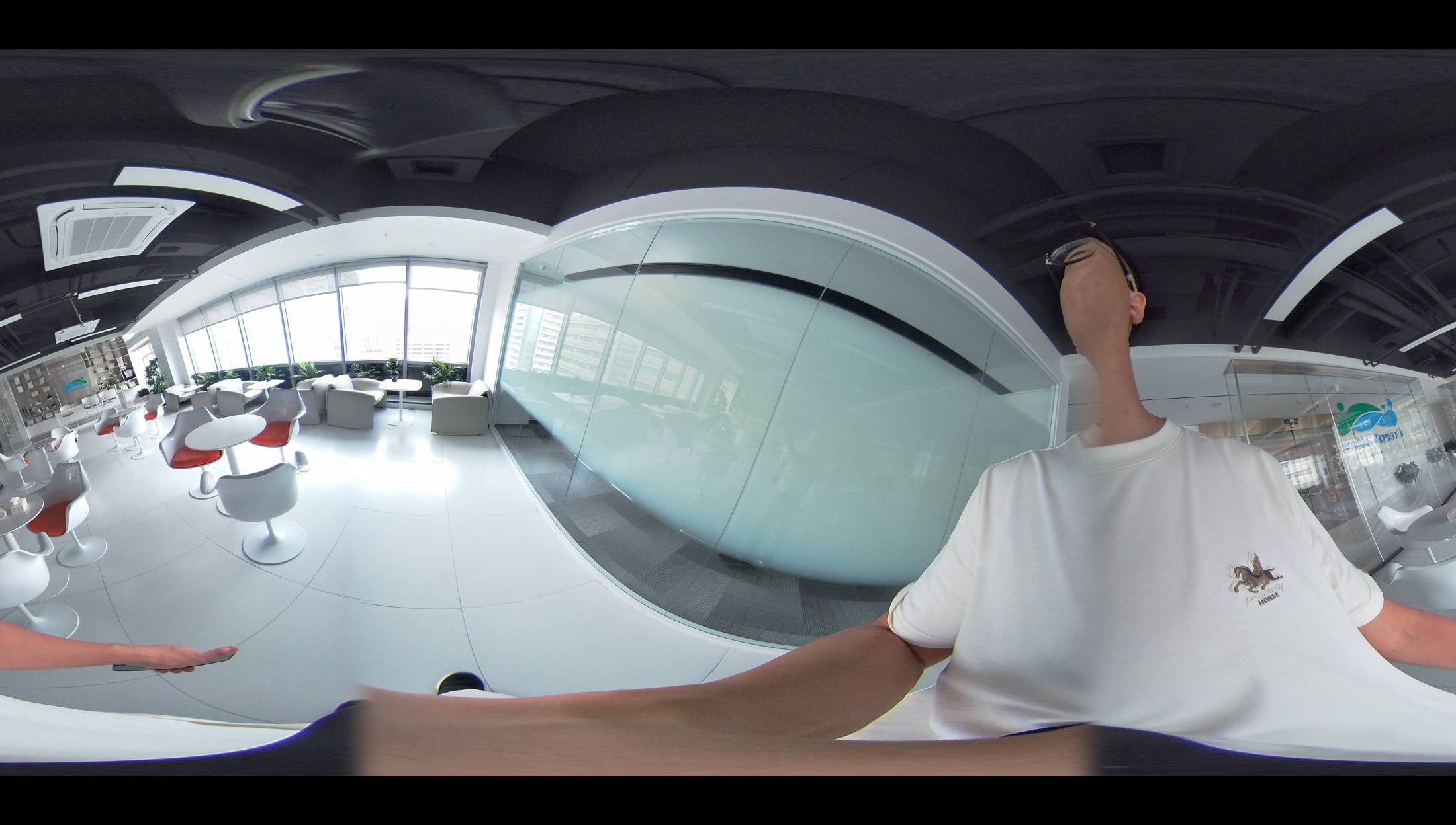
Panoramic Imagery
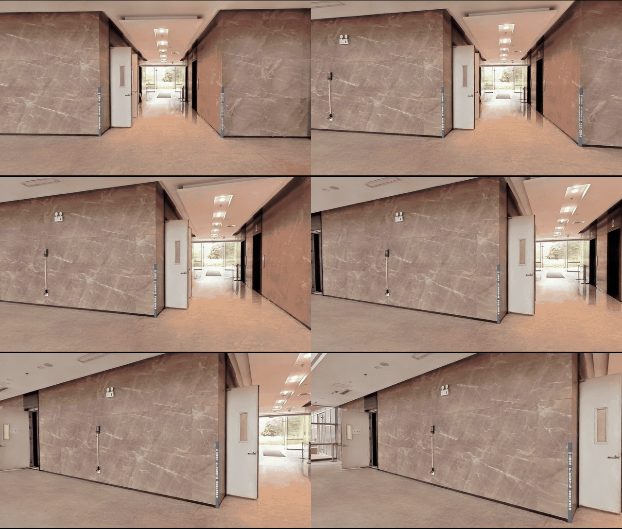
3DGS
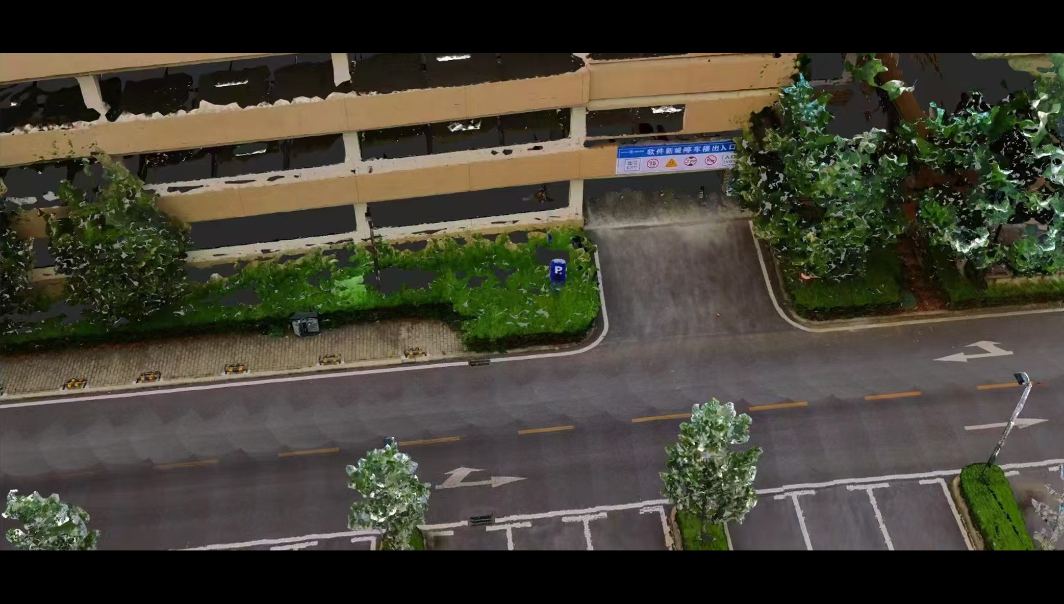
MESH


Multiple mapping modes to meet field operation requirements
Supports RTK-SLAM, PPK-SLAM, MLF-SLAM and standalone SLAM. Select the appropriate mapping mode according to operating environments and project requirements.
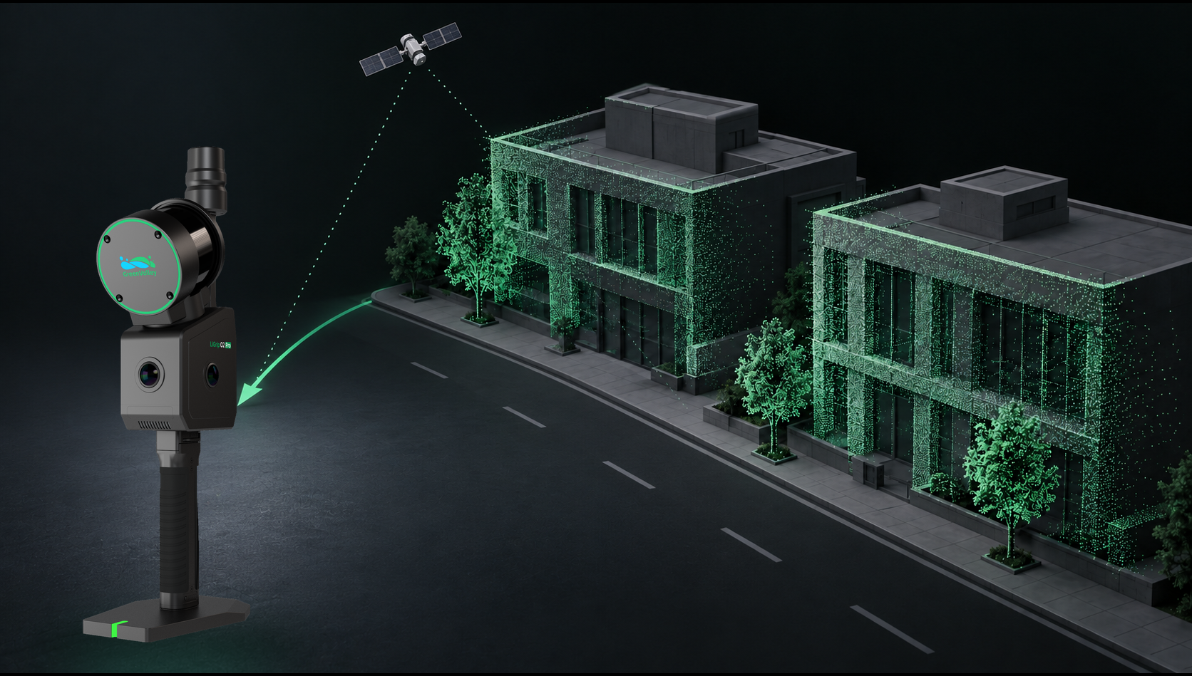
RTK-SLAM
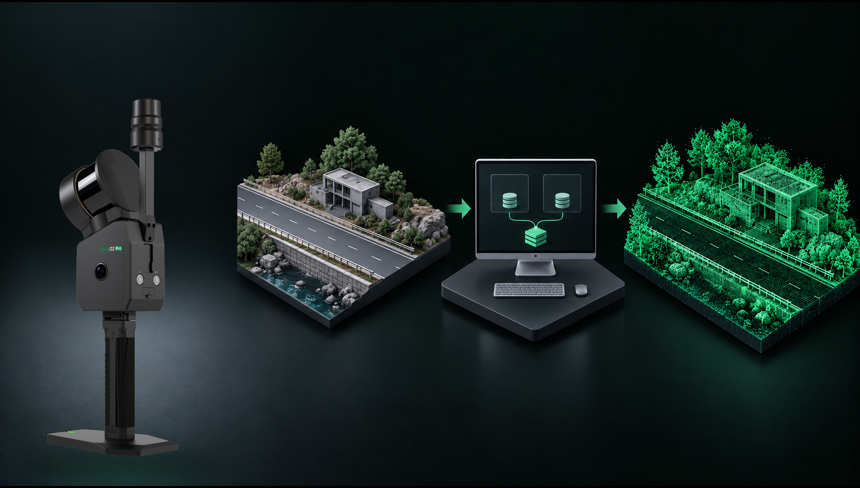
PPK-SLAM
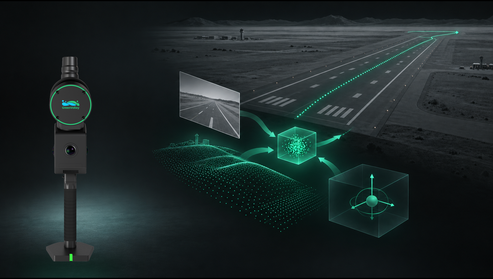
MLF-SLAM
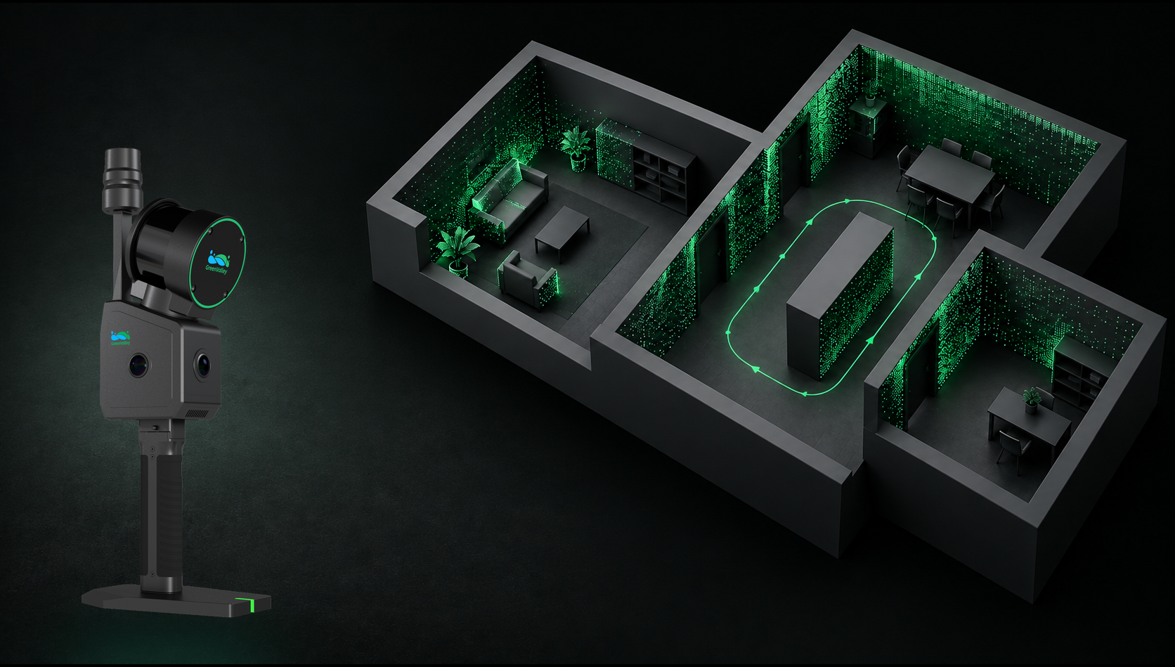
SLAM
- The left, right and front cameras cover the entire scene for full-color rendering and better 3DGS effects.
- Images remain cleaner in low-light conditions.
- High-resolution panoramas support real-scene 3D, VR and HD imagery needs.
Imaging-Grade Capture
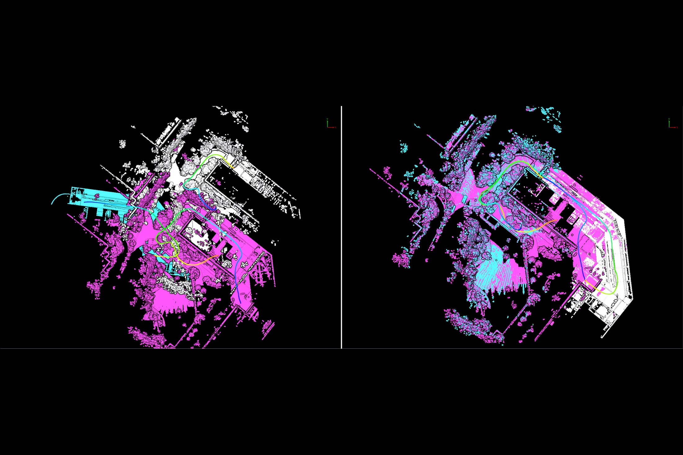
- Self-developed surveying-grade SLAM.
- RTK-SLAM and PPK-SLAM.
- MLF-SLAM and Pure SLAM.
Survey-Grade Accuracy
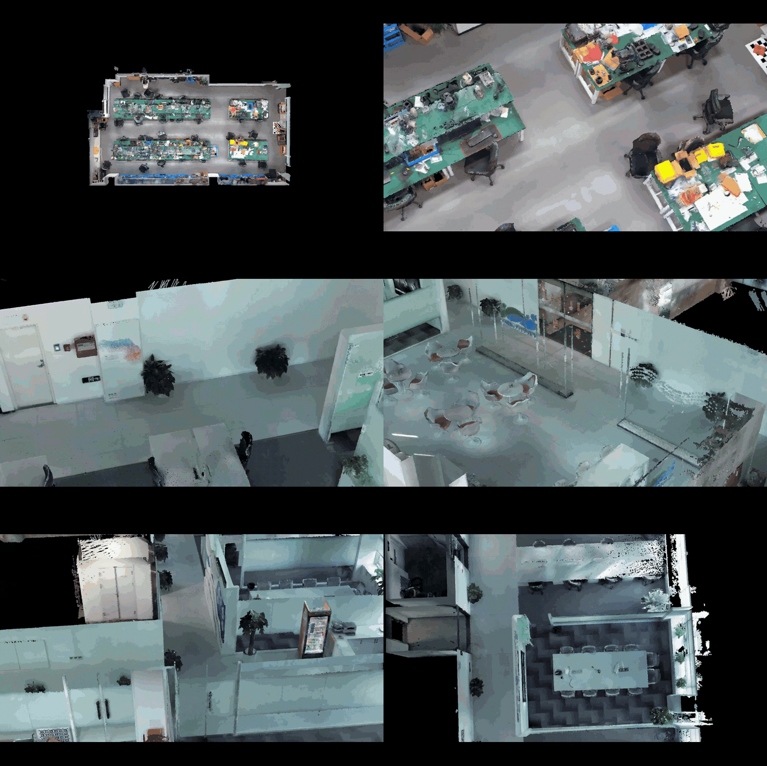
- Edges and small objects stay sharp, even on complex structures.
- Fine structure improves object recognition, especially for Scan to BIM.
- LAS and LiData integrate directly with downstream software.
Ultra-Detailed Structured Point Clouds
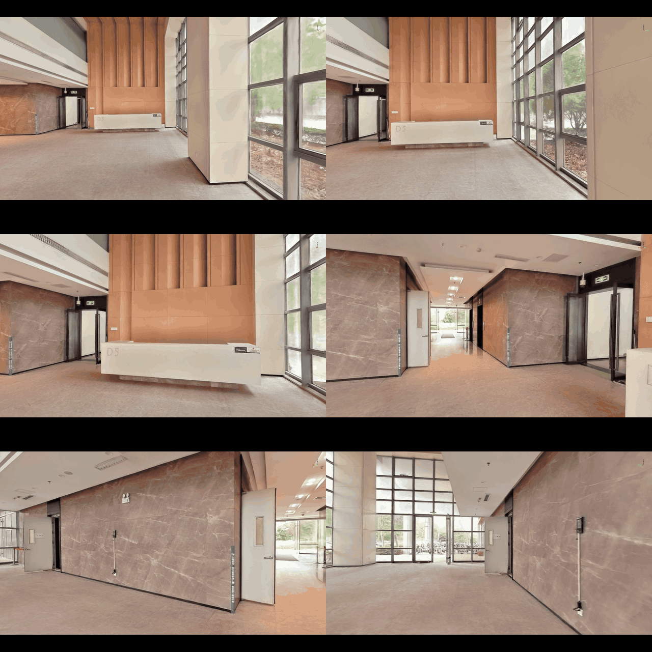
- Self-developed Gaussian reconstruction captures finer visual details.
- Direct LiSplat / PLY output, ready for mainstream viewers and engines.
- Built for digital twins, roaming and VR.
Ultra-Clear 3D Gaussian Splatting
Supporting Softwares
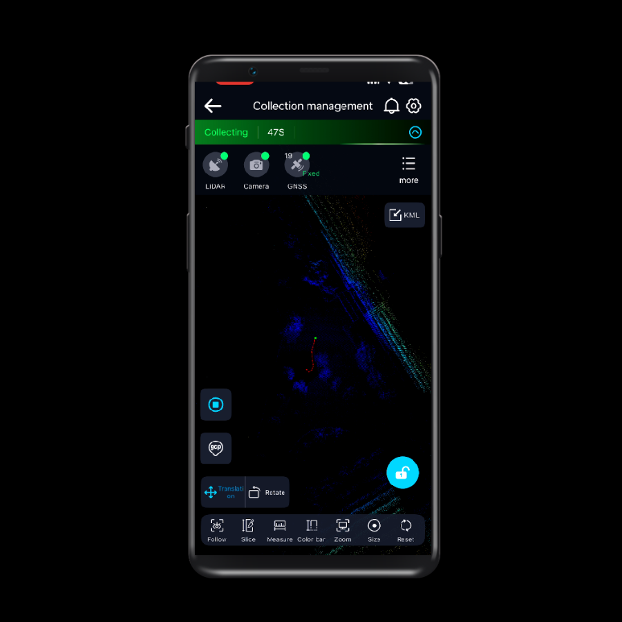 GreenValley APPLearn More
 LiDAR360MLSLearn More
 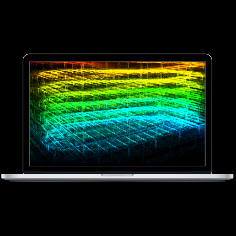 LiDAR360Learn More
 Application Scenarios
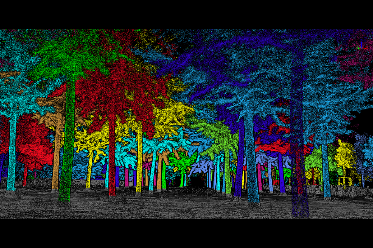 Forestry Investigation
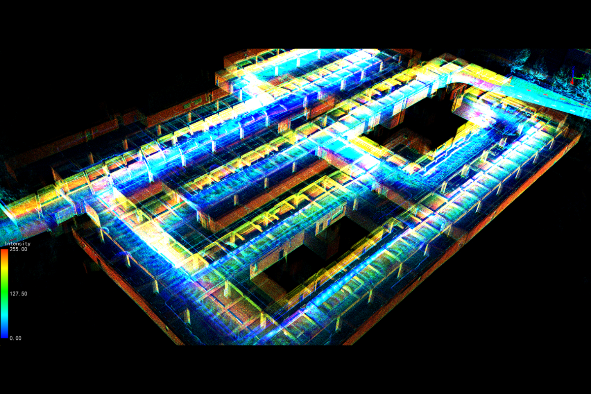 Utility Mapping
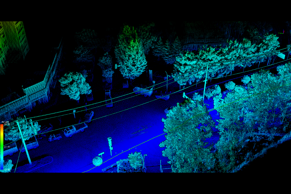 Powerline Inspection
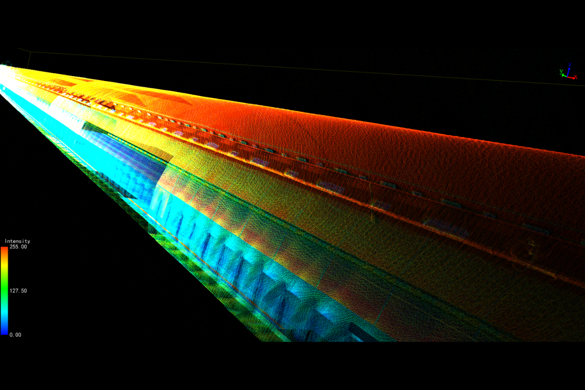 Tunnel Surveying
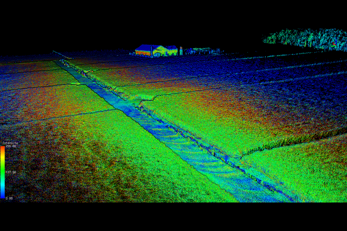 Topographic Survey
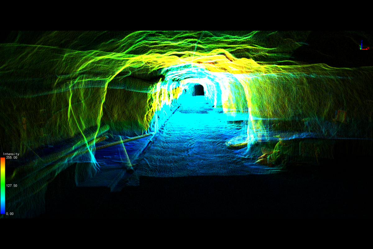 Mining
 Gaussian Splatting
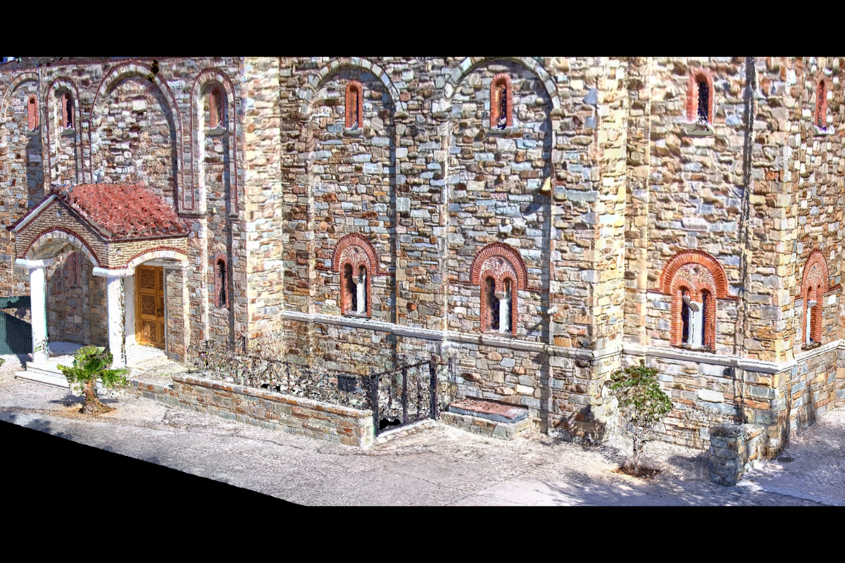 Real Estate Surveying
GreenValley International Inc (GVI), headquartered in Berkeley, California, is a leading innovator of 3D mapping technologies. GVI provides a wide range of advanced aerial, terrestrial, and mobile LiDAR survey and mapping hardware systems and cutting-edge software as well as turnkey solutions. Our portfolio includes airborne, handheld, mobile, and backpack laser scanning platforms, as well as point cloud processing software such as the LiDAR360 LiDAR data processing platform. GVI focuses on LiDAR and image fusion technology, specializing in LiDAR, UAV, SLAM, Photogrammetry, and other technologies to achieve an accurate digital representation of three-dimensional space. As we continue to expand our reach and technological capabilities, GVI remains committed to driving innovation and pushing the boundaries of what's possible in the LiDAR space.
+1(510)345-2899info@greenvalleyintl.com 729 Heinz Avenue, Suite 9, Berkeley, California 94710, USASubscribe
Copyright © 2022-2026 GreenValley International Inc. All Rights Reserved.