
Ready-to-Use Intelligent Inertial Navigation
LiBase2 RTK
Weight
0.8 kg
GNSS Board
UM980
Supported Constellations
GPS / GLONASS / BeiDou / Galileo / QZSS / SBAS
Channels
1408
RTK Horizontal Accuracy
8 mm + 1 ppm
RTK Vertical Accuracy
15 mm + 1 ppm
Update Rate
10 Hz / 20 Hz / 50 Hz
Built-in Storage
8 GB

Full Constellation, Full Frequency, Fast Locking
Equipped with high-performance, high-precision GNSS SoC chips, it ensures high-quality signal reception and supports satellite signals from multiple global systems, including GPS, GLONASS, BeiDou, Galileo, QZSS, and SBAS. With full constellation and full frequency signal tracking, it fully supports BeiDou-3 for rapid satellite lock.

Tilt Compensation with Calibration-Free Inertial Navigation
The fourth-generation inertial navigation tilt measurement technology is immune to electromagnetic interference and eliminates the need for bubble leveling when measuring with a ranging pole, enabling walk-and-measure workflows while ensuring reliable accuracy.

AR-Assisted Stakeout with One-Step Completion
Featuring satellite, inertial, and visual fusion algorithms unaffected by electromagnetic interference, it enables precise stakeout. Both the handheld controller and receiver support dual AR functionality with immersive real-world display and seamless switching for fast, accurate layout.
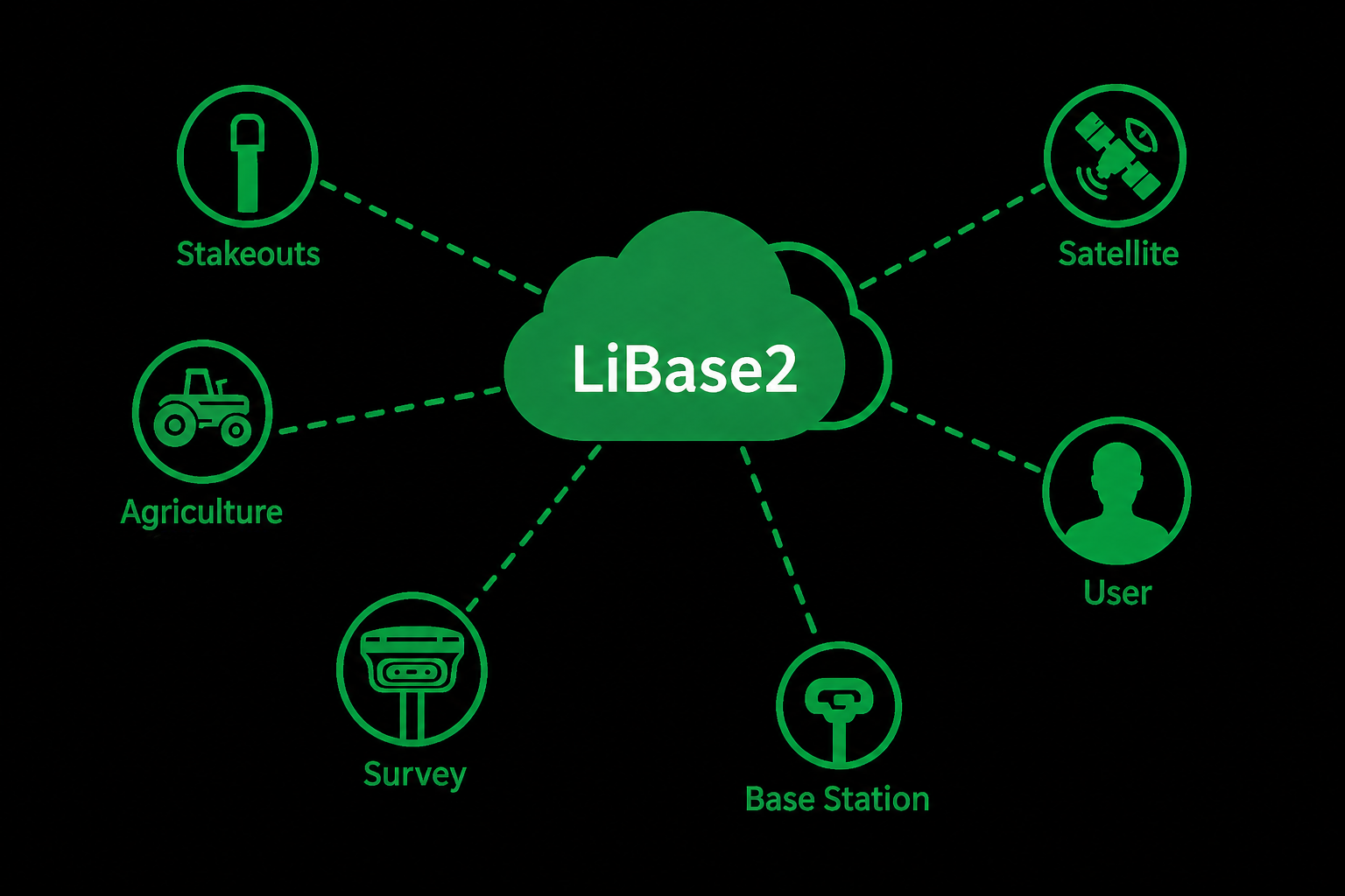
Engineering Surveying and Efficiency Assurance
The professional surveying software LiSurvey 2.0 meets the needs of various layout operations, such as road construction, power line surveying, site leveling control, CAD applications, and railway layout, effectively improving engineering surveying efficiency.
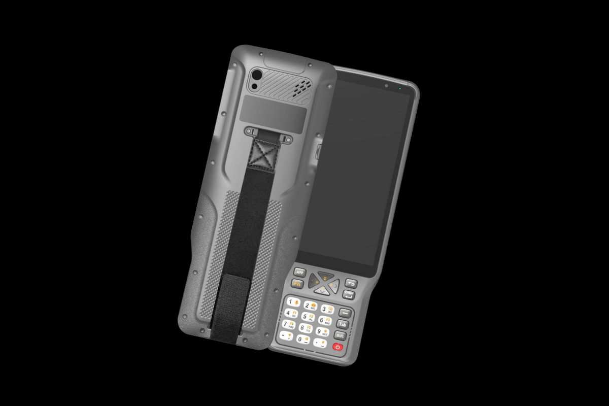
- IP68 rating, 1.5-meter drop resistance, and an operating temperature range of −25 °C to 65 °C — designed for extreme environments and demanding fieldwork.
- 8000 mAh battery with Type-C PD fast charging — up to 12 hours of typical runtime, enabling reliable all-day operation.
- 6.0-inch HD+ high-brightness display (550 nits) — remains clearly readable in direct sunlight, ideal for outdoor applications.
- Rear 13 MP camera with flash and NFC support — enables convenient on-site photo documentation and near-field communication.
Built for Reliable Field Performance
Recommended Industries
 ForestryLearn More

 HD MapsLearn More
 MiningLearn More
 Power LineLearn More
 UtilitiesLearn More
 TerrainLearn More

GreenValley International Inc (GVI), headquartered in Berkeley, California, is a leading innovator of 3D mapping technologies. GVI provides a wide range of advanced aerial, terrestrial, and mobile LiDAR survey and mapping hardware systems and cutting-edge software as well as turnkey solutions. Our portfolio includes airborne, handheld, mobile, and backpack laser scanning platforms, as well as point cloud processing software such as the LiDAR360 LiDAR data processing platform. GVI focuses on LiDAR and image fusion technology, specializing in LiDAR, UAV, SLAM, Photogrammetry, and other technologies to achieve an accurate digital representation of three-dimensional space. As we continue to expand our reach and technological capabilities, GVI remains committed to driving innovation and pushing the boundaries of what's possible in the LiDAR space.