
Lightweight & Borderless Scanning
LiAir Xmini
Close-range scenarios inspection solution
Total Weight
405g
Point Rate
200Kpts/s
Field of View
360×59°
Relative/Absolute Accuracy(SLAM)
<1cm/ 5cm
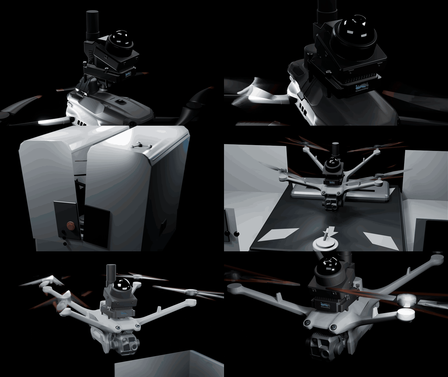
- The quick-release mounting system enables fast and easy transfer between compatible aircraft.
- Compatible with DJI Matrice 4D / 4TD Dock Models for Both Portable Manual and Unattended Dock-Based Inspection
- Compatible with DJI Matrice 4E / 4T Series Drones — Reuse Existing Airframes 100% no dedicated drone required
Ultra-Light Payload, Ready to Mount
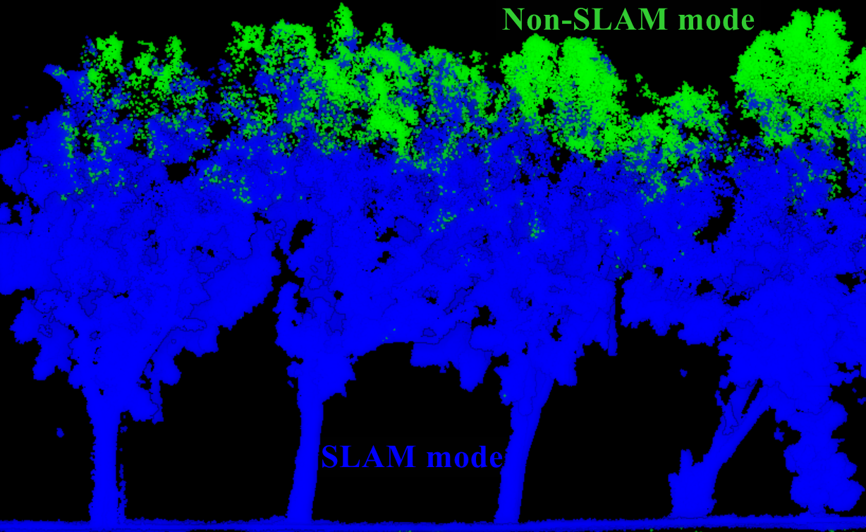
- Built-in high-precision INS and GNSS board enable one-click switching between combined navigation and SLAM modes. Choose the right mode for the mission, whether GNSS is available or denied.
- SLAM Mode —— The First Choice Where GNSS Is Unavailable,Indoors, in Mines, and Under Tree Canopy
- Combined Navigation Mode(Non-SLAM) —— Preferred for Open Areas,Open Areas with Few Outdoor Features
Dual Operating Modes with One-Click Switching
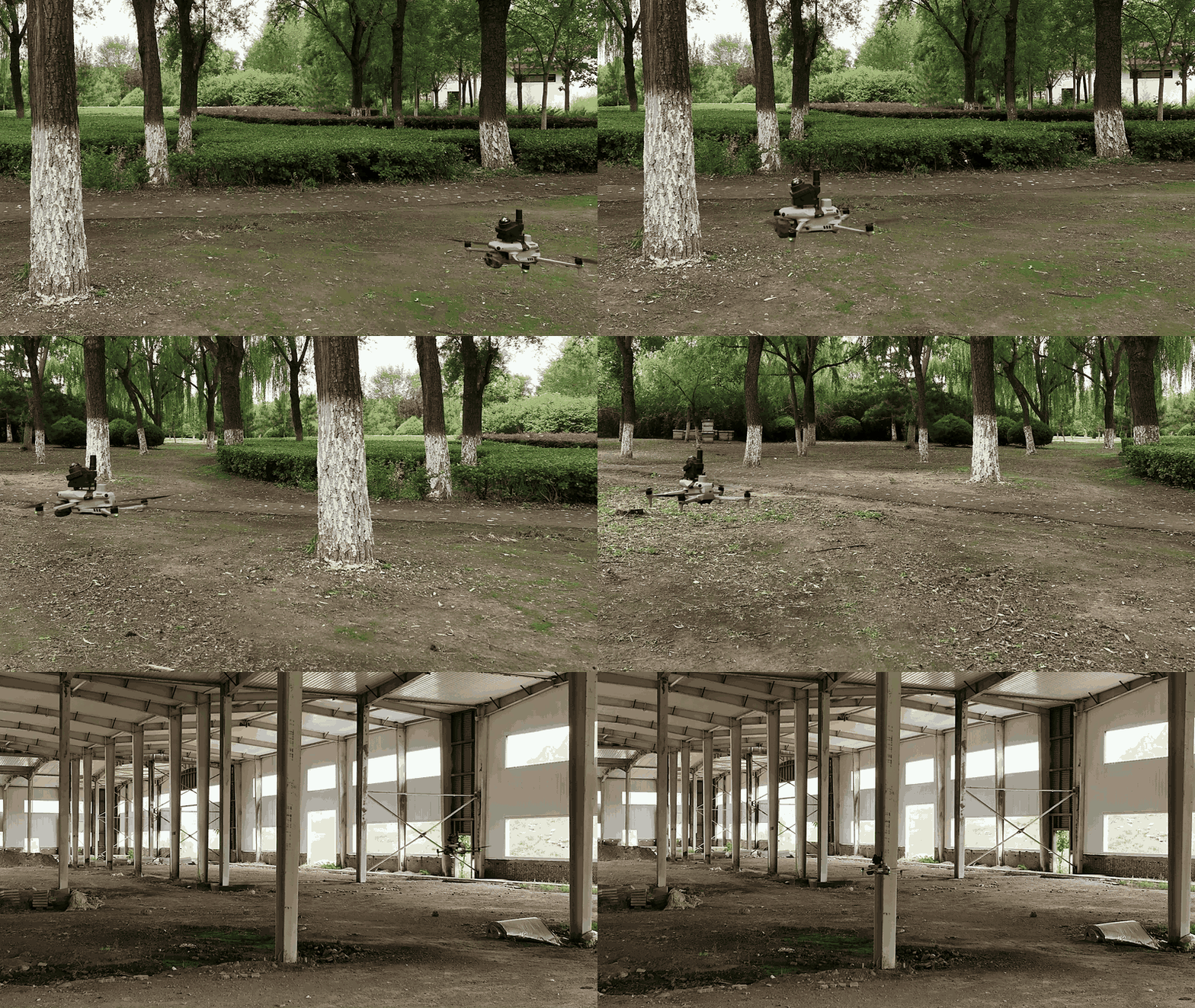
- A 20 W low-power design preserves the drone’s native endurance, delivering up to 20 minutes of system flight time per sortie to support complete point-cloud capture for small-area missions.
- Uninterrupted flight throughout the mission, with significantly less impact on drone endurance than comparable high-power payloads.
- Plan a route and complete a full scan of the target area in a single flight.
Low Power Consumption, Extended Flight Time
Boundless Operations Beyond GNSS Limitations
From underground mines to dense forests, from bulk-material stockyards to bridge underdecks—wherever satellite signals cannot reach or personnel cannot easily access, LiAirXmini is the right tool for the job.
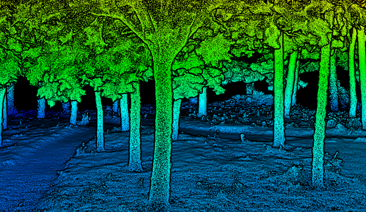
Over Rough Terrain and Dense Canopy
Fly through forests without cutting paths or ground surveys, completing full-area inventory from above. Tree height, crown width and other key metrics that handheld devices cannot capture from below are obtained in a single aerial pass. With LiDAR360, one-click extraction of DBH, tree height, crown diameter and other key forestry metrics enables digital forest asset management.
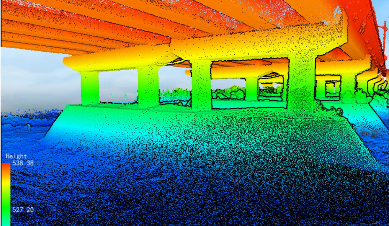
Under Bridges and Over Water
Operate beneath bridge structures and above water surfaces to scan substructures—no wading, boats or temporary access roads required.
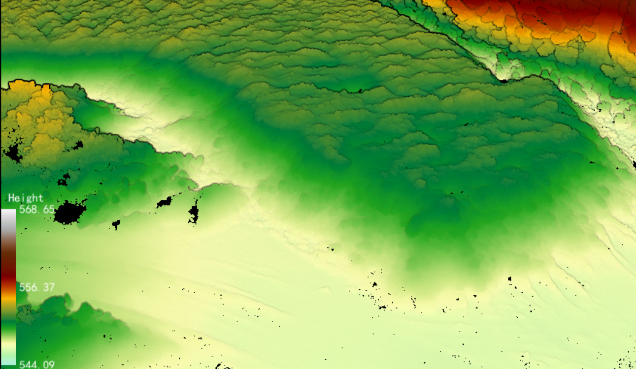
Orbit Flight, Clear Pile-Top View
Aerial orbit routes fully cover pile crests and steep slopes, yielding complete volume in one sortie—no more climbing piles, dust exposure or re-survey detours.

GreenValley International Inc (GVI), headquartered in Berkeley, California, is a leading innovator of 3D mapping technologies. GVI provides a wide range of advanced aerial, terrestrial, and mobile LiDAR survey and mapping hardware systems and cutting-edge software as well as turnkey solutions. Our portfolio includes airborne, handheld, mobile, and backpack laser scanning platforms, as well as point cloud processing software such as the LiDAR360 LiDAR data processing platform. GVI focuses on LiDAR and image fusion technology, specializing in LiDAR, UAV, SLAM, Photogrammetry, and other technologies to achieve an accurate digital representation of three-dimensional space. As we continue to expand our reach and technological capabilities, GVI remains committed to driving innovation and pushing the boundaries of what's possible in the LiDAR space.