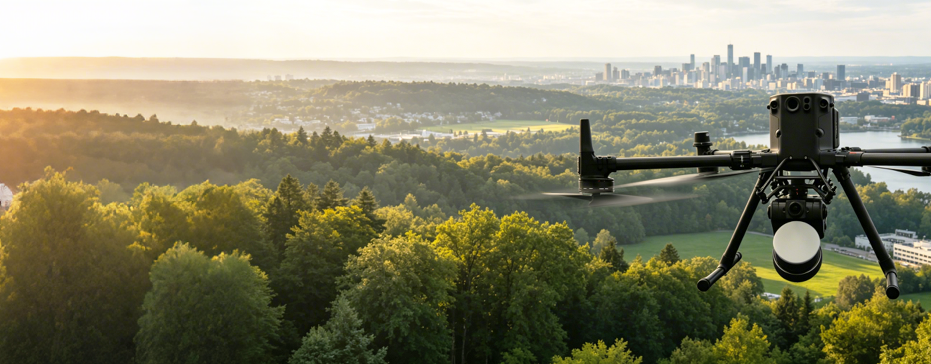
Autonomous Airborne LiDAR Mapping System
LiAir X4 Plus
One System. Dual Platforms. Smarter Workflows.
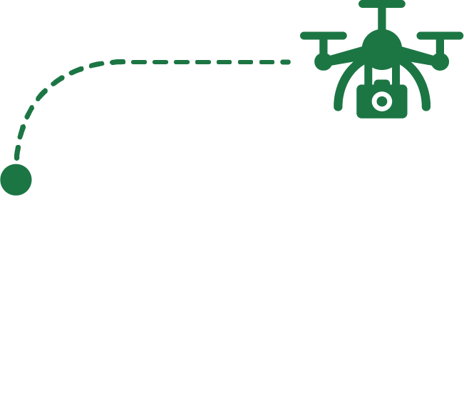
Above Powerline Following Flight
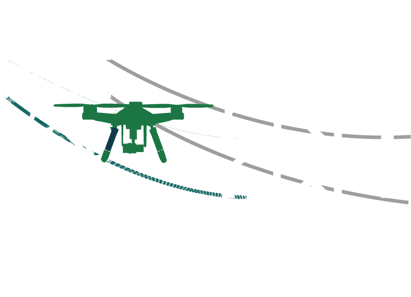
Side Powerline Following Flight
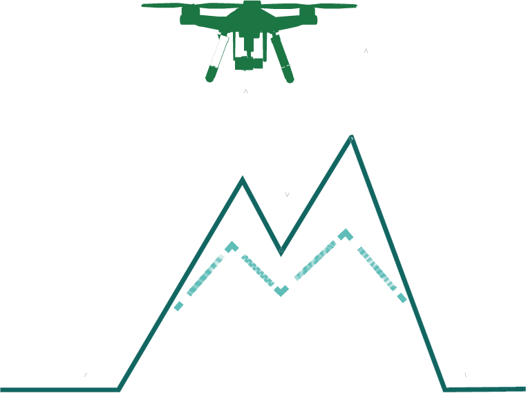
Real-time Terrain Following Flight
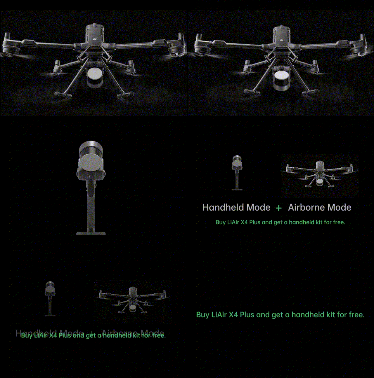
- LiAir X4 Plus combines autonomous airborne flight, obstacle avoidance, high-precision aerial mapping, and handheld scanning to enable efficient data capture and seamless aerial-terrestrial fusion in one deployment.
- Operating modes switch automatically at startup, with no additional accessories, manual configuration, or extra setup required, enabling faster transitions between airborne and handheld modes.
Integrated Airborne & Handheld Mapping
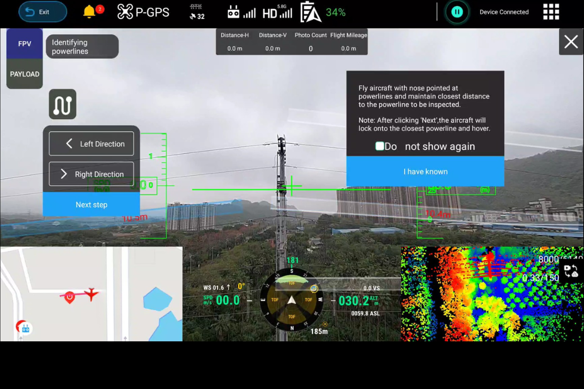
- Validated through 10,000+ real-world flight missions, LiAir X4 Plus delivers highly reliable autonomous powerline-following workflows with a success rate exceeding 95%.
- Integrated obstacle avoidance and guided flight control simplify corridor inspection operations and reduce manual intervention.
Field-Proven Powerline Following
Comprehensive Data Capture in a Single Flight
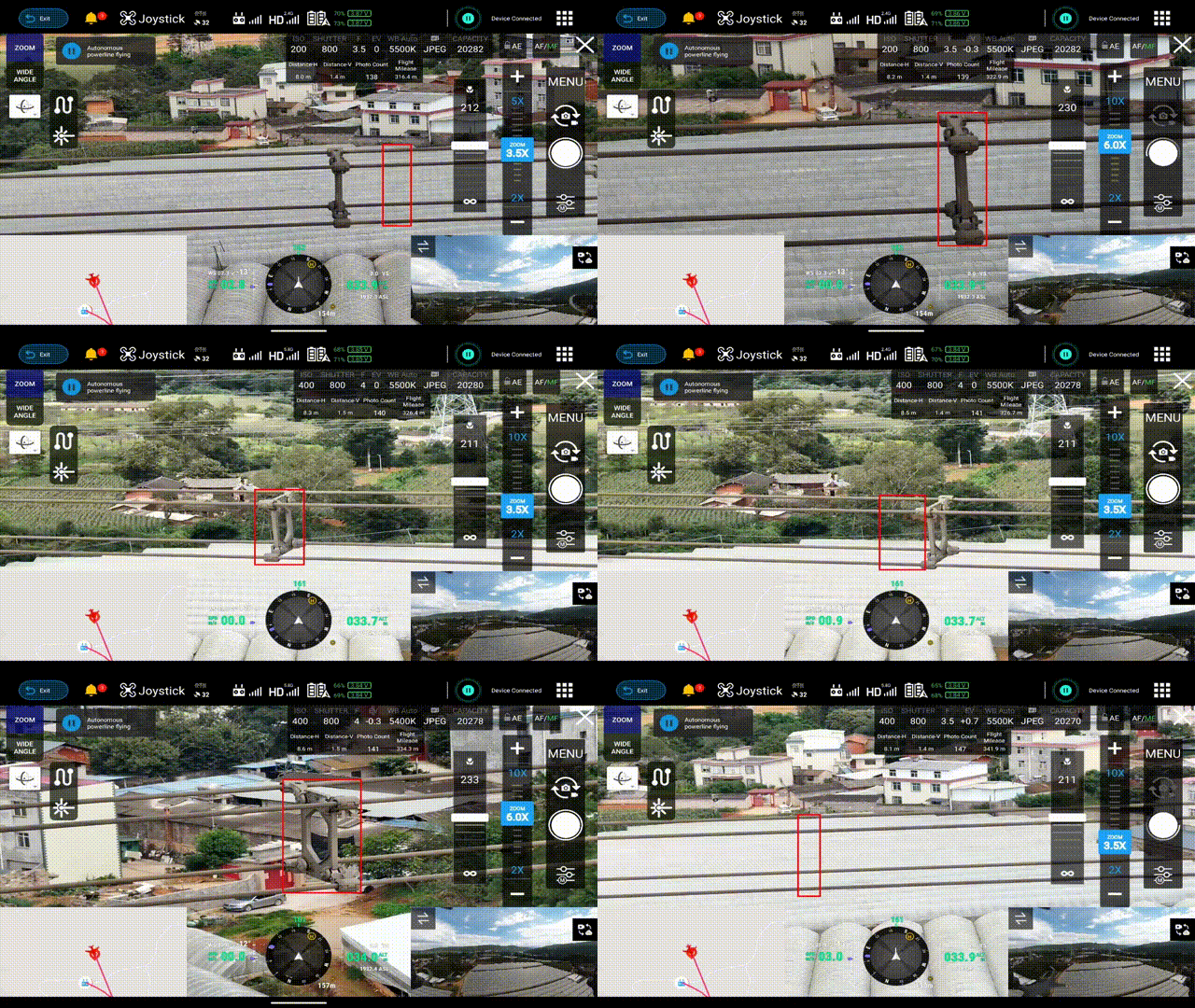
Adaptive component-level precision inspection photography for power towers and lines, supporting fully automatic focus calibration for the gimbal camera. lt enables the acquisition of both corridor point cloud data and component image data in a single flight, eliminating the need for repeated operations and effectively improving operational efficiency.
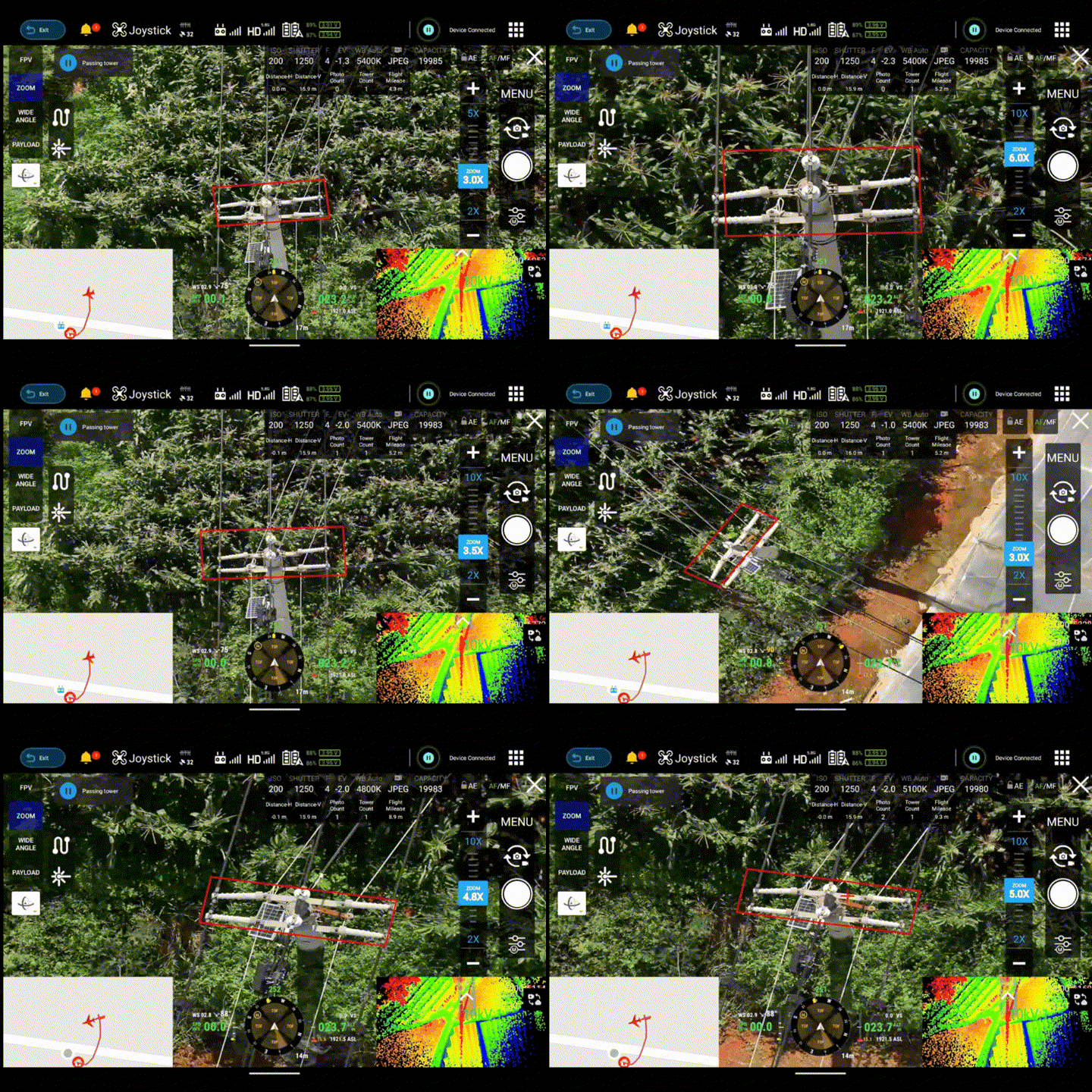
Powerline Following + Detailed Tower Inspection
With the DJl M400, it performs simultaneous tower fine inspection along powerlines, capturing point cloud data and images of at least 50 towers across 3 km in a single flight.

Immersive 3DGS Reconstruction
LiAir X4 Plus is equipped with left/right/front three-direction panoramic cameras, each with 12MP, enabling high-fidelity restoration of ground object texture features. By integrating handheld panoramic images with airborne surveying camera images, a comprehensive integrated air-ground integrated 3DGS model can be constructed.
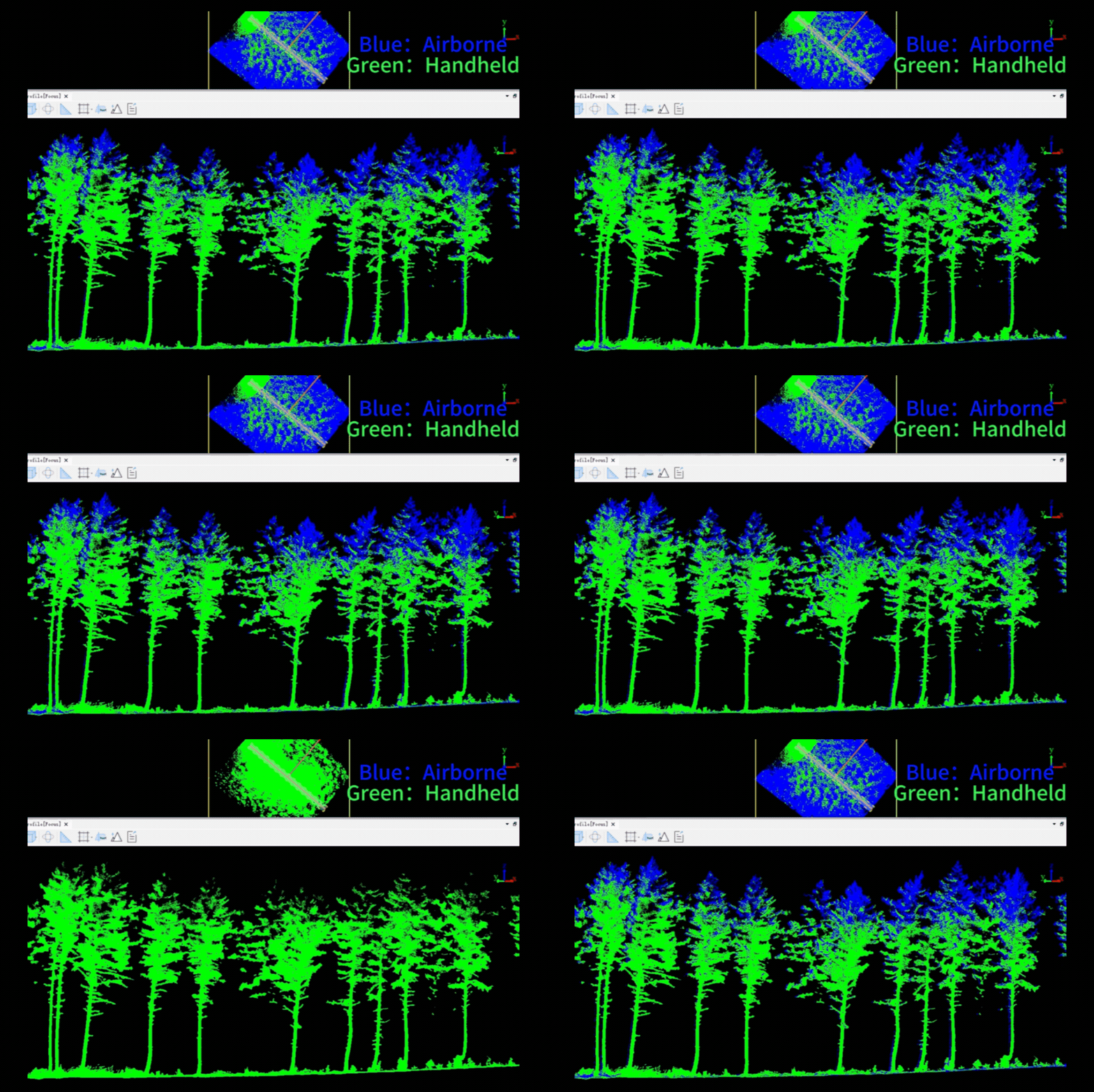
- For forestry applications, LiAir X4 Plus can efficiently cover large area canopies in airborne mode, while the handheld mode is used to capture detailed trunk information beneath the forest canopy.
- Through multi-mode data fusion, it can significantly improve the structural integrity of tree canopiesand the accuracy of tree height measurements, providing comprehensive and reliable data support for forestry resource surveys.
From Canopy to Ground, Complete Forestry Coverage
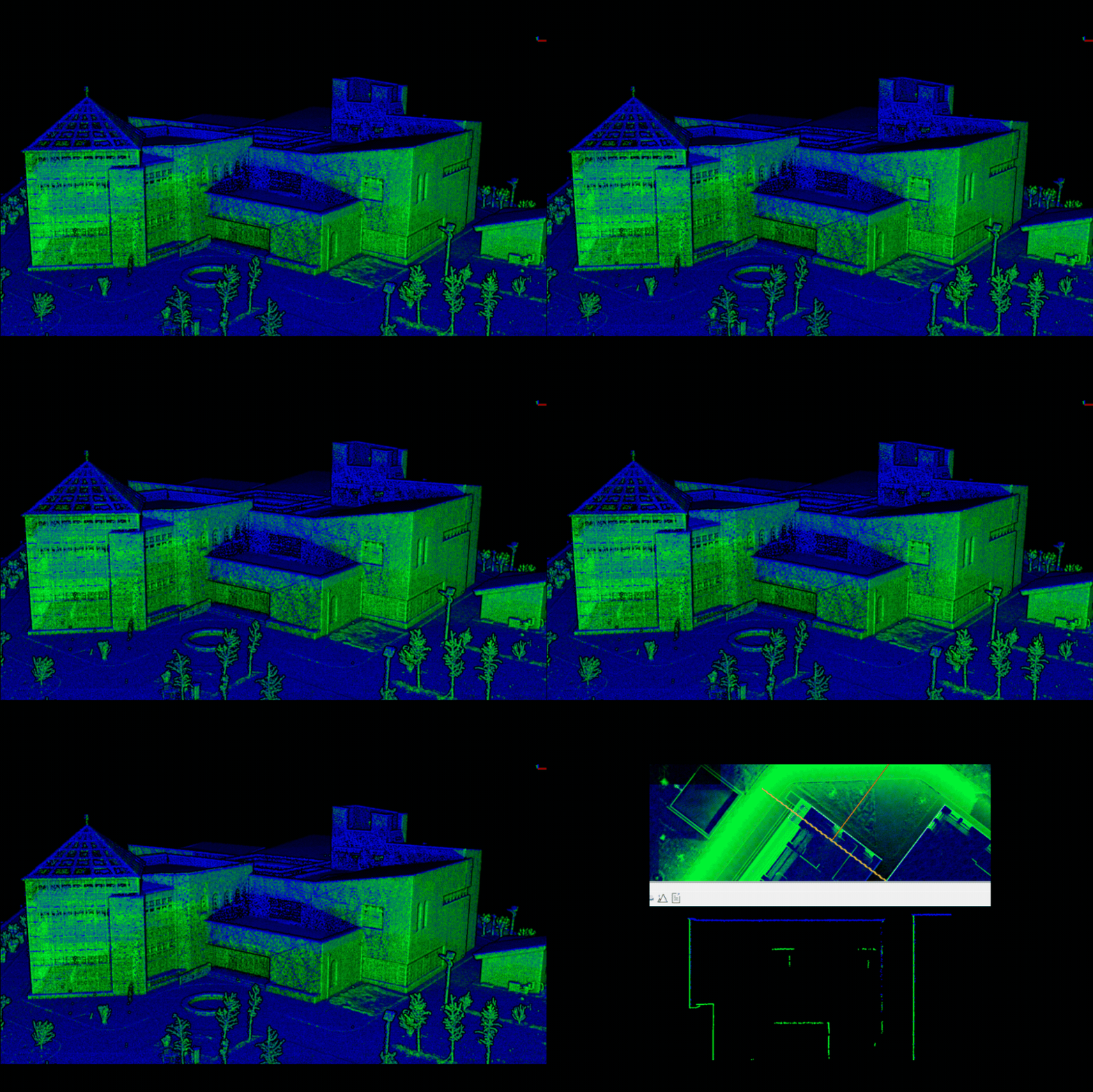
- For architectural surveying applications, the airborne mode acquires facade and roof data while the handheld mode captures interior and occluded areas, ultimately achieving centimeter-accurate complete point cloud fusion. Indoor and outdoor integrated data collection reduces omissions and rework, lowers labor and reworkcosts, and shortens the data acquisition and modeling cycle.
- The proprietary high-precision SLAM algorithm achieves absolute point cloud accuracy better than 5 cm and point cloud thickness better than 2 cm.
Indoor to Outdoor, Centimeter-Level Integrated Mapping
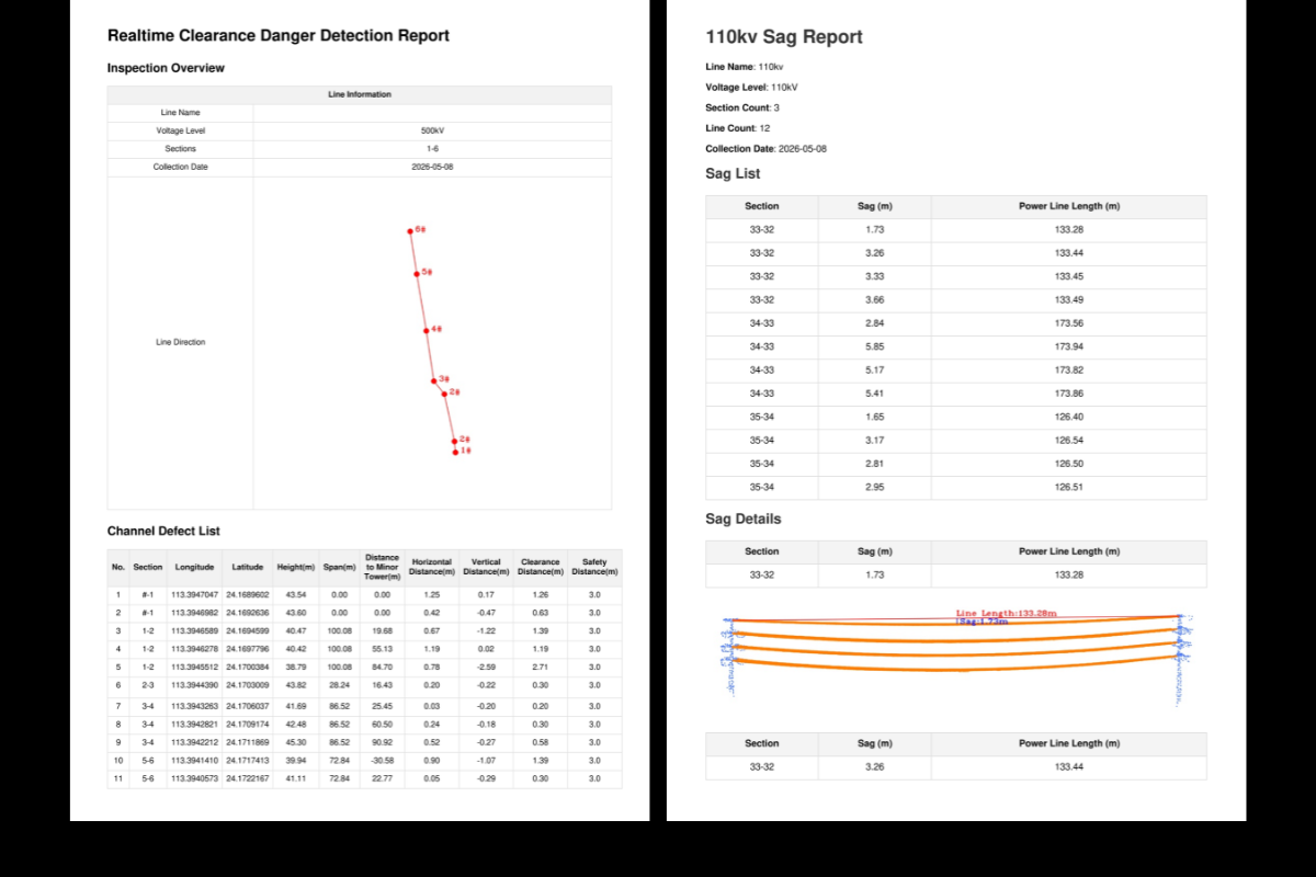
Real-Time Professional Analysis Reports
Bringing years of post-processing expertise to the edge, it delivers real-time computation and on-site reporting of tree encroachment hazards and powerline sag analysis, enabling field crews to identify and address issues immediately.
Supporting Software
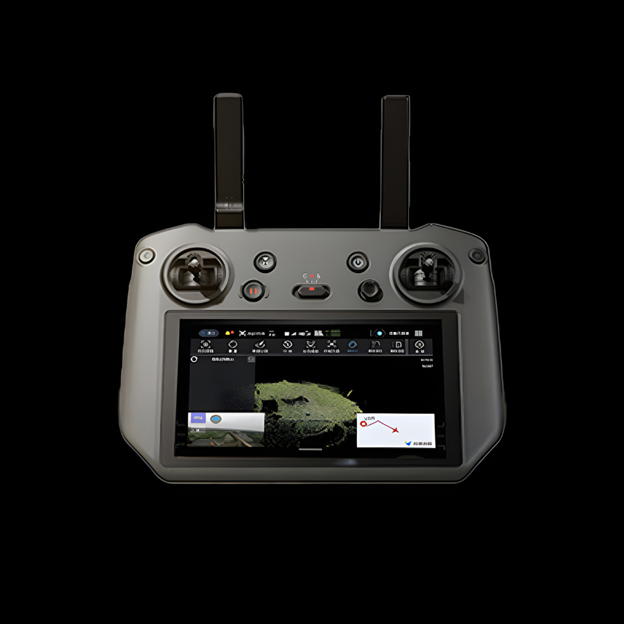 GreenValley APP
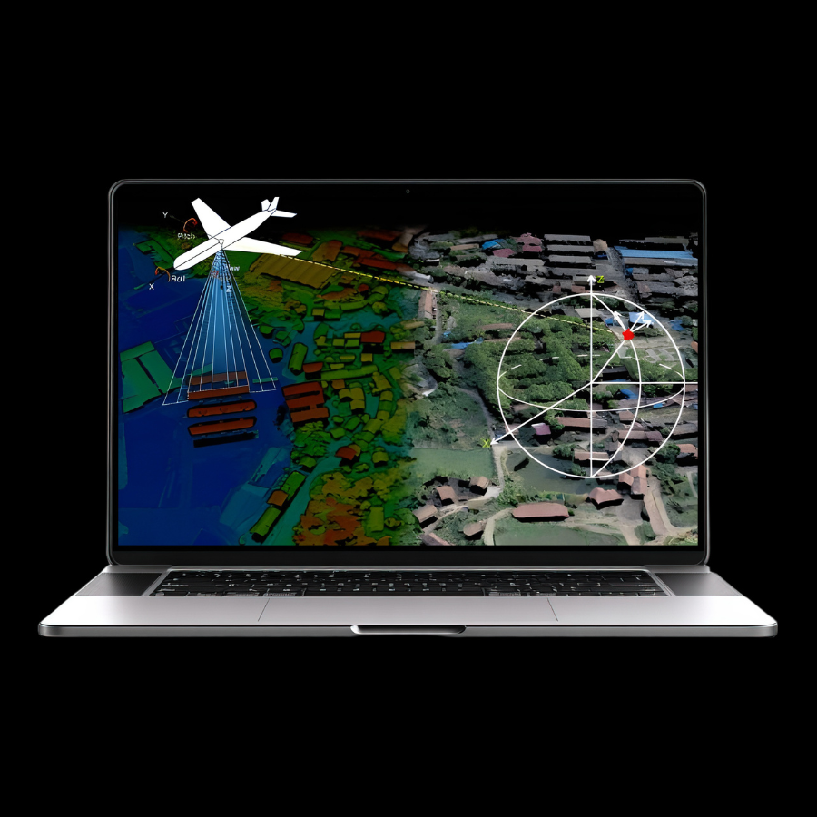 LiGeoreference
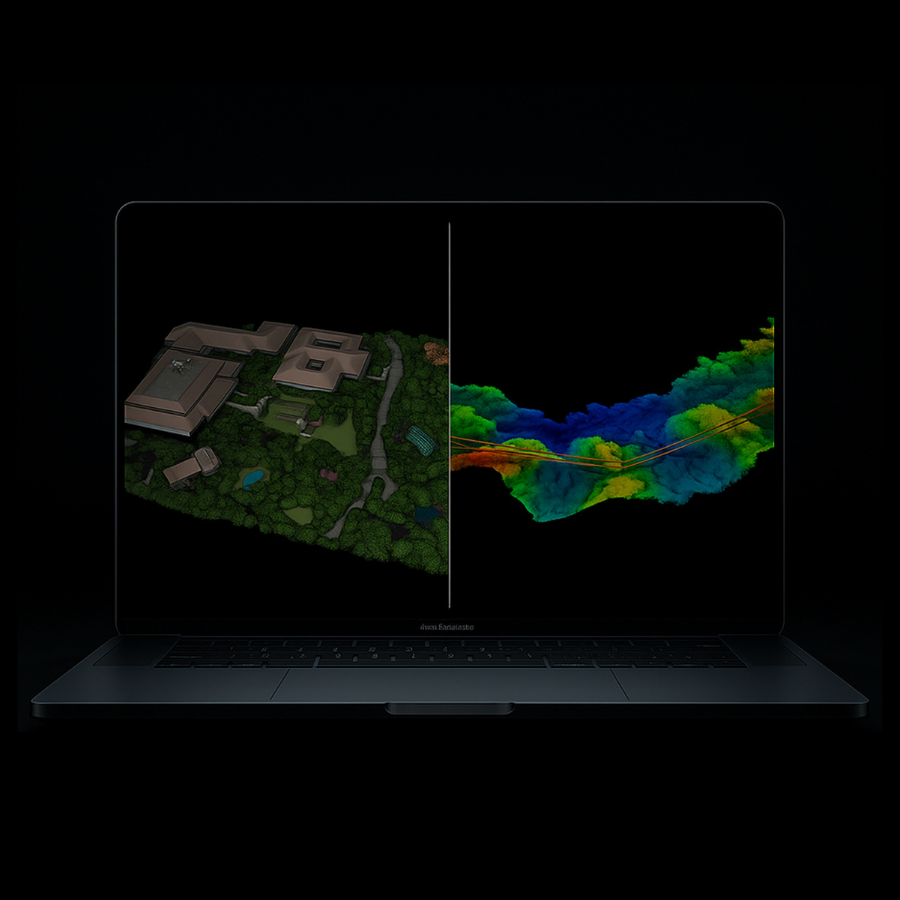 LiDAR360/LiPowerline
Recommended Industries
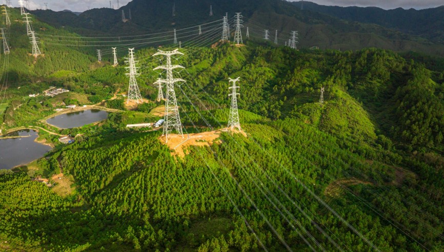 Powerline Inspection
 Precision Forestry
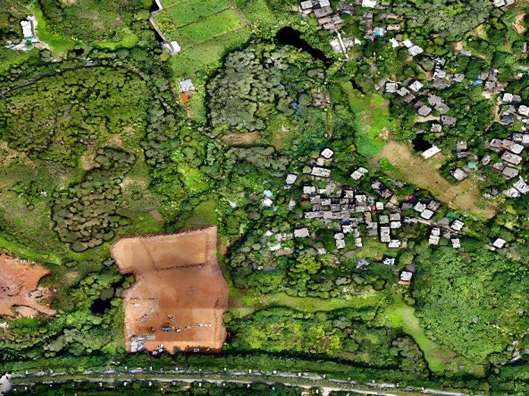 Topographic Survey
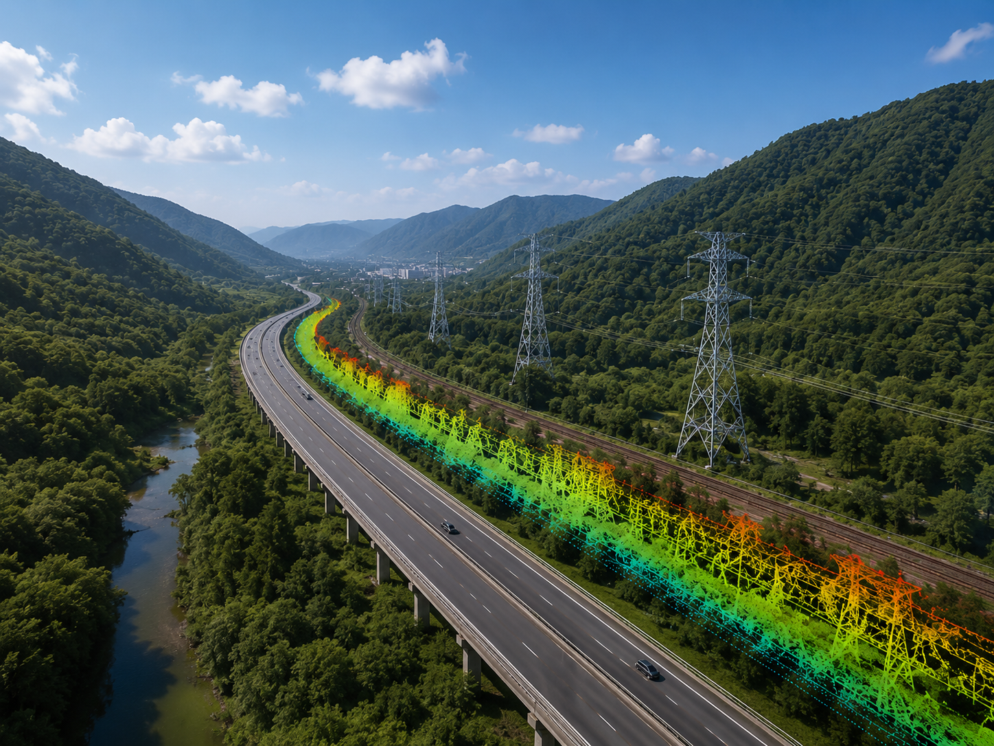 Corridor Mapping
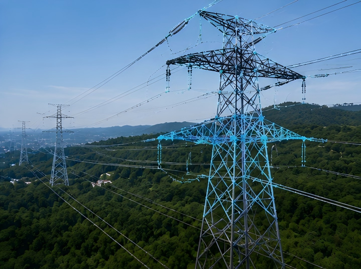 Infrastructure Inspection
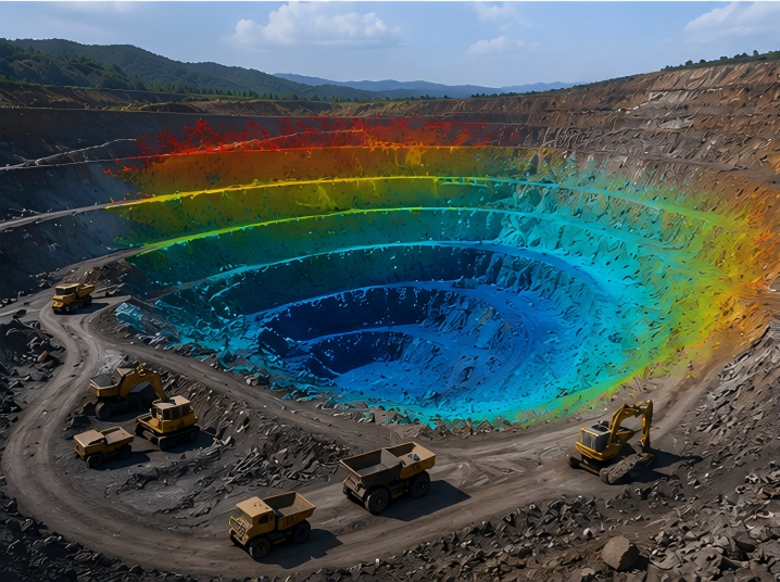 Mining Survey
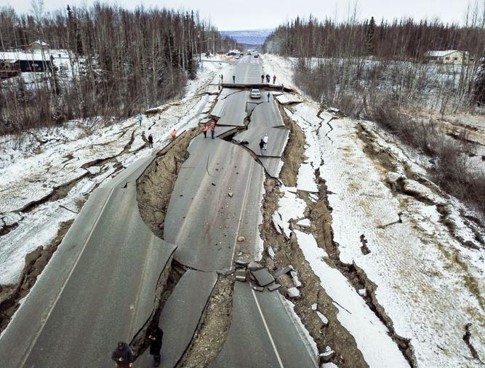 Emergency Response Mapping
 Digital Twin Reconstruction

GreenValley International Inc (GVI), headquartered in Berkeley, California, is a leading innovator of 3D mapping technologies. GVI provides a wide range of advanced aerial, terrestrial, and mobile LiDAR survey and mapping hardware systems and cutting-edge software as well as turnkey solutions. Our portfolio includes airborne, handheld, mobile, and backpack laser scanning platforms, as well as point cloud processing software such as the LiDAR360 LiDAR data processing platform. GVI focuses on LiDAR and image fusion technology, specializing in LiDAR, UAV, SLAM, Photogrammetry, and other technologies to achieve an accurate digital representation of three-dimensional space. As we continue to expand our reach and technological capabilities, GVI remains committed to driving innovation and pushing the boundaries of what's possible in the LiDAR space.