At the same flight altitude, the H600 Pro provides higher point density than comparable solutions.

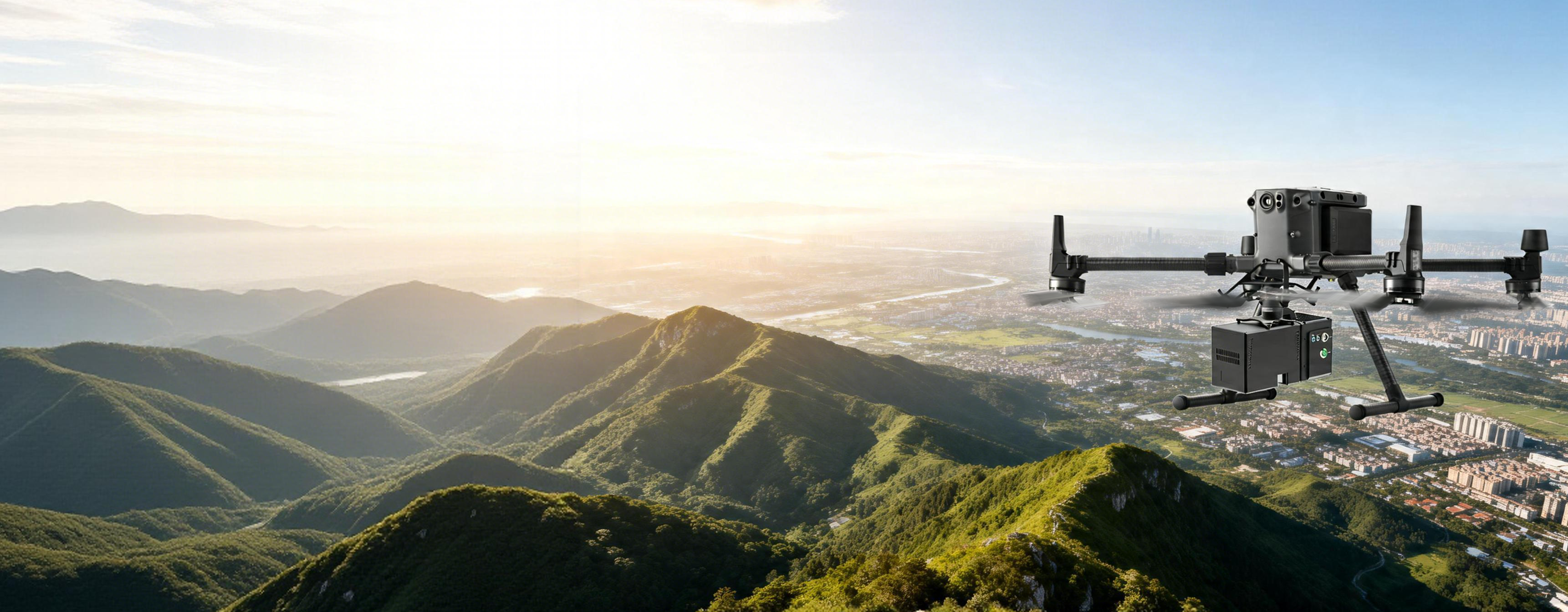
LiAir H600 Pro
All-New Cost-Effective Surveying-Grade LiDAR System
The LiAir H600 Pro is a new generation of lightweight, medium-range LiDAR scanning system developed by GreenValley International. It features high integration of a lightweight survey-grade LiDAR unit, a self-developed high-precision IMU, and a high-resolution mapping camera. With a total weight of only 1.62 kg and a maximum measurement range of up to 1200 m, it can be easily integrated with light-wing or multi-rotor UAVs. Coupled with the flight control software GreenValley APP and post-processing software LiDAR360/LiPowerline, it provides a more efficient one-stop solution for power line inspection, forestry resource survey, and emergency disaster assessment.
Maximum flight altitude
450 m
Surveying Camera
26 MP
Point cloud thickness
<3 cm
Maximum frequency
1000K Hz
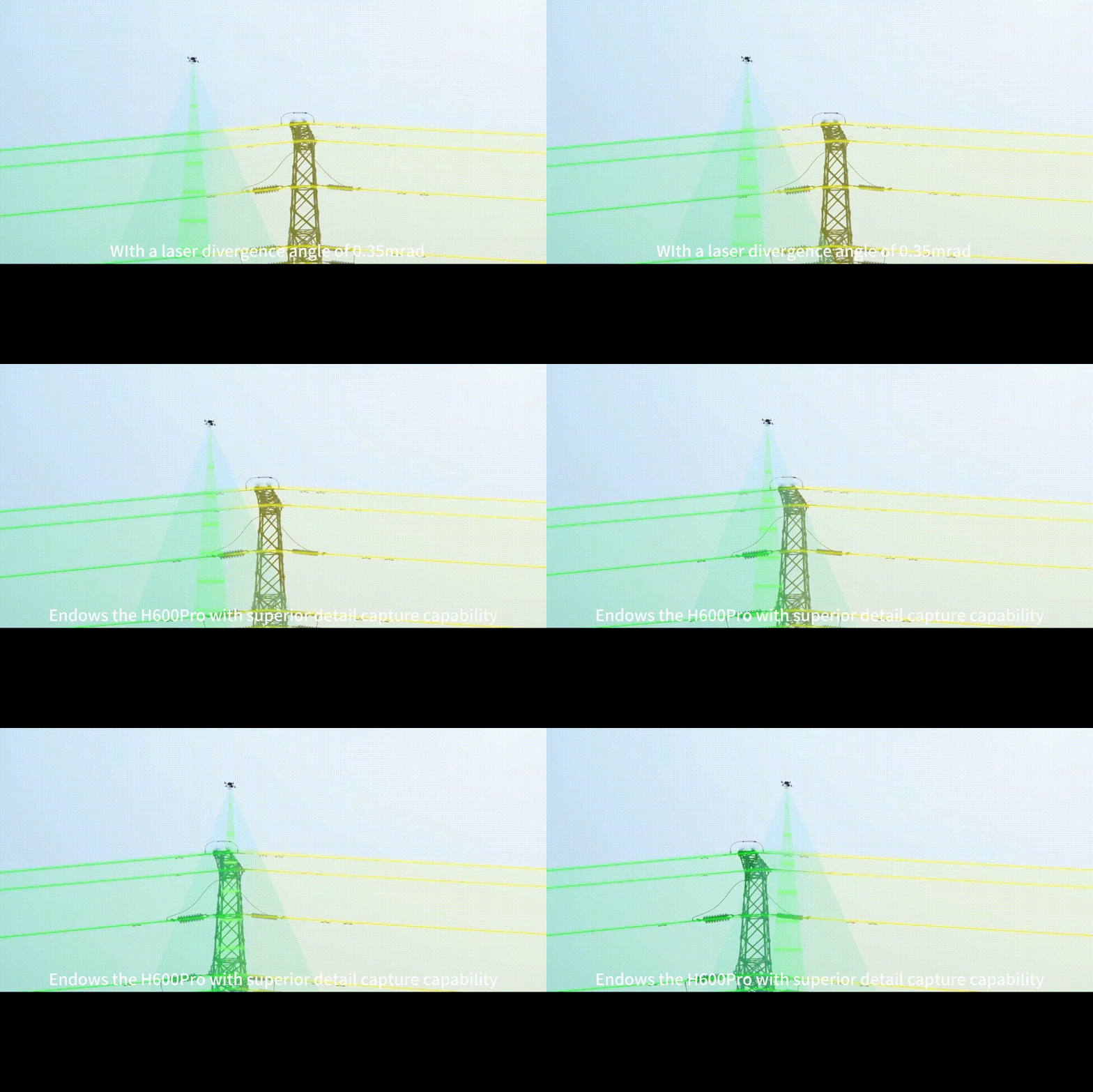
Intelligent Flight Control Mode
Seamlessly integrated with DJI M300/M350 RTK and M400 platforms, the system features intelligent altitude sensing. It enables autonomous data triggering—starting collection at takeoff and stopping upon landing. This ensures total data integrity while eliminating redundancy, significantly streamlining your post-processing workflow.
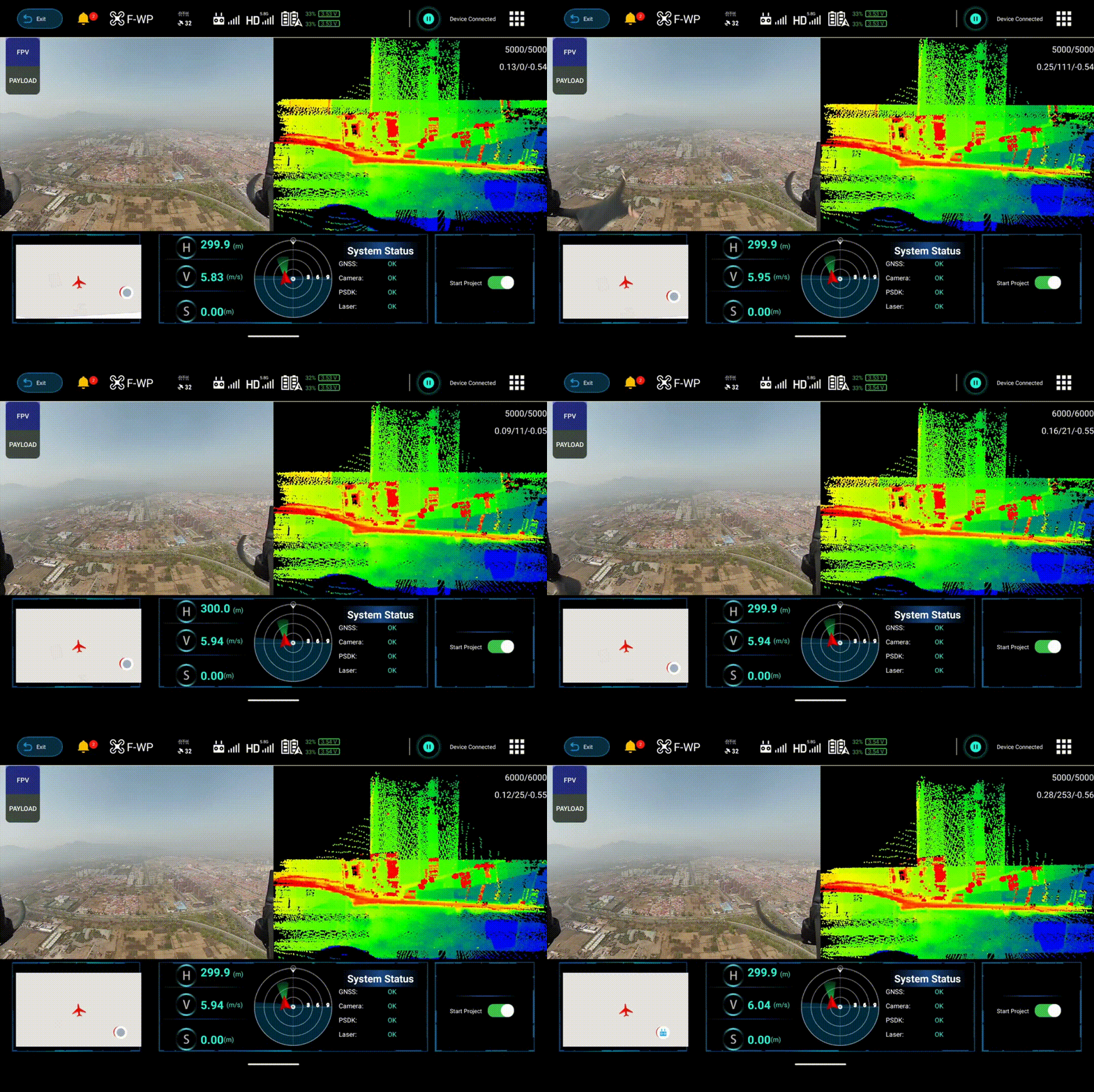
Compatible with GreenValley Flight Assistant
It supports operational status monitoring, device parameter configuration, and real-time 3D point cloud visualization. This allows users to verify data integrity and equipment performance in real time, detect issues early, avoid invalid operations and costly rework, and make fieldwork safer and more controllable.
Data Comparison
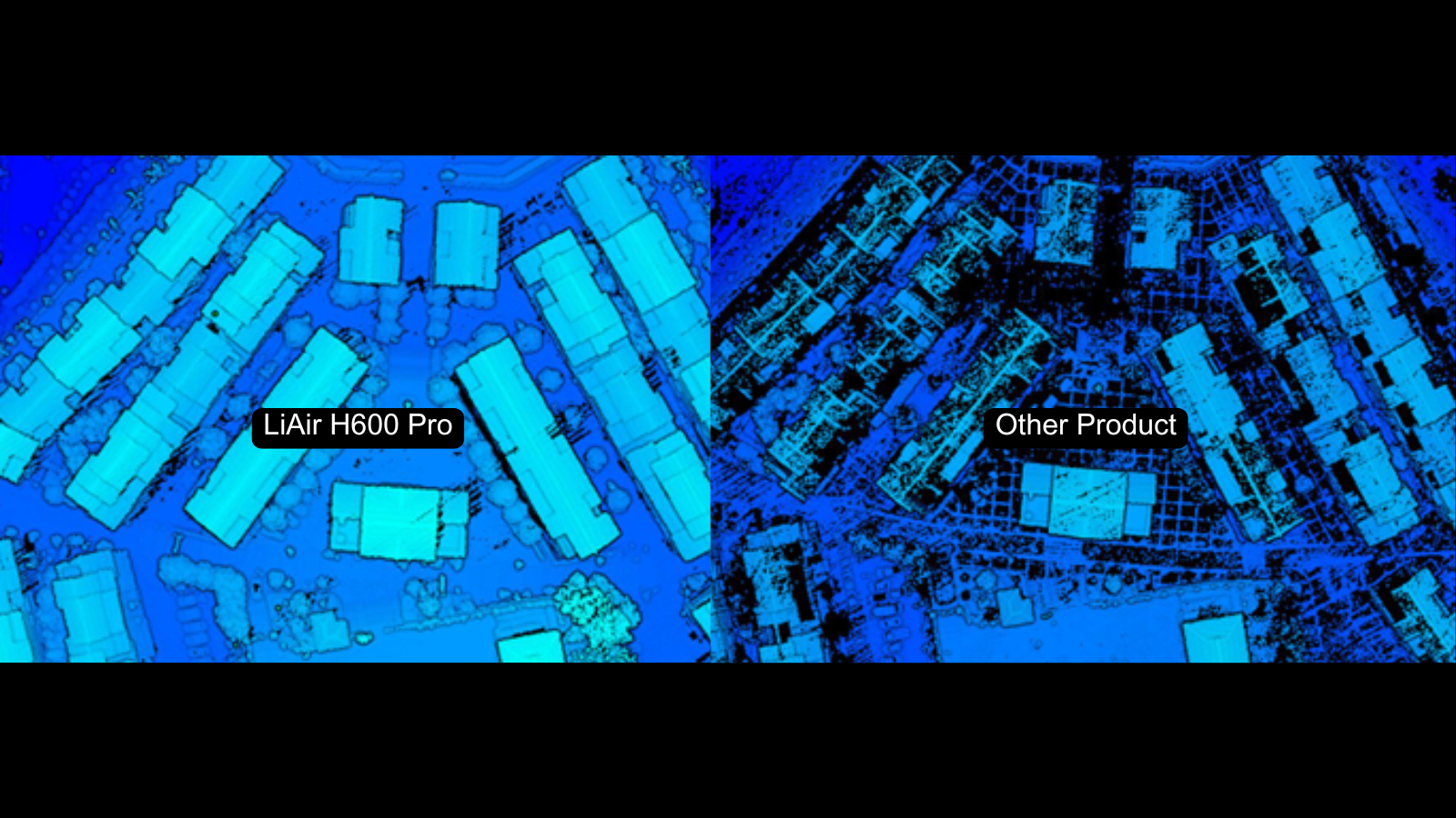
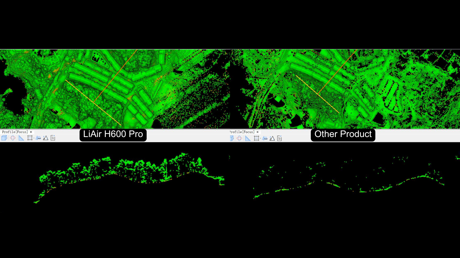
At a flight altitude of 400 m, the H600 Pro provides stronger vegetation penetration than comparable solutions.


Supporting Software
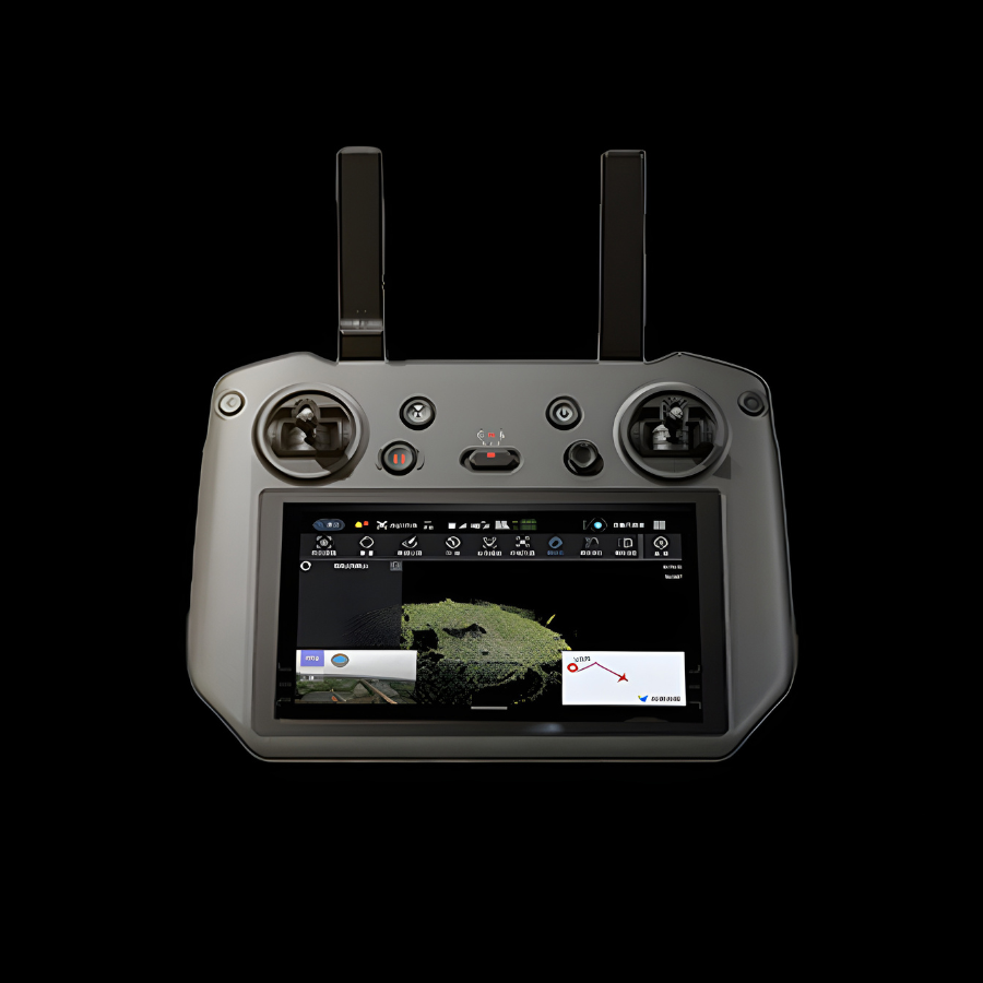 GreenValley APP
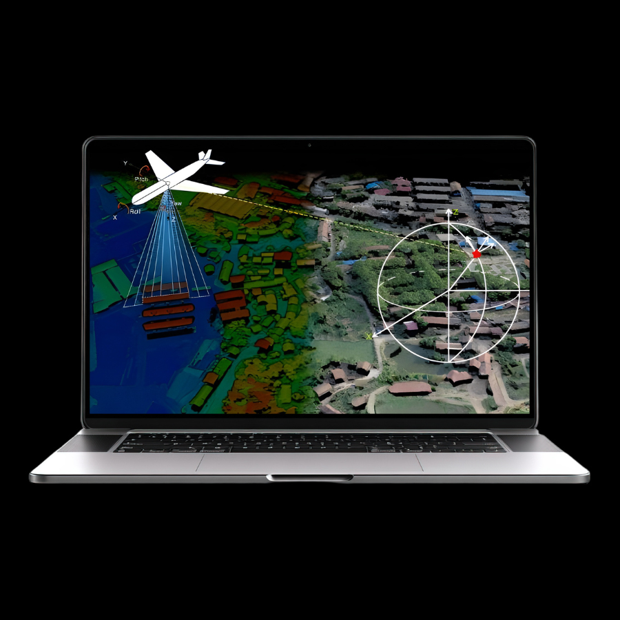 LiGeoreference
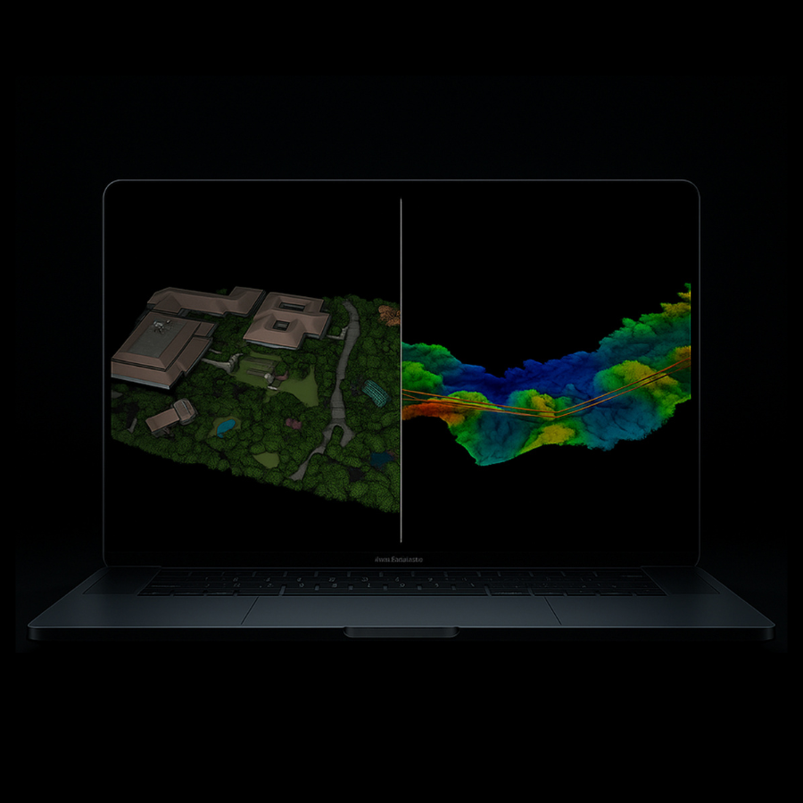 LiDAR360/LiPowerline
Recommended Industries
 Digital City Application
 Engineering Construction Surveying
 Power Inspection
 Precision Forestry
 Mining Survey
 Road & Railway Inspection
 Topographic Mapping
 Disaster Response

GreenValley International Inc (GVI), headquartered in Berkeley, California, is a leading innovator of 3D mapping technologies. GVI provides a wide range of advanced aerial, terrestrial, and mobile LiDAR survey and mapping hardware systems and cutting-edge software as well as turnkey solutions. Our portfolio includes airborne, handheld, mobile, and backpack laser scanning platforms, as well as point cloud processing software such as the LiDAR360 LiDAR data processing platform. GVI focuses on LiDAR and image fusion technology, specializing in LiDAR, UAV, SLAM, Photogrammetry, and other technologies to achieve an accurate digital representation of three-dimensional space. As we continue to expand our reach and technological capabilities, GVI remains committed to driving innovation and pushing the boundaries of what's possible in the LiDAR space.
+1(510)345-2899info@greenvalleyintl.com 729 Heinz Avenue, Suite 9, Berkeley, California 94710, USASubscribe
Copyright © 2022-2026 GreenValley International Inc. All Rights Reserved.