Subscribe

LiDAR360 Automated LiDAR Processing Software for Global Surveying and Mapping Workers

-- 22 Nov 2023 --

LiDAR360 is an automated LiDAR processing software suitable for global surveying and mapping workers. This software can effectively process and analyze LiDAR data, including point cloud data processing, 3D visualization, digital terrain model (DTM), and digital surface model (DSM).


LiDAR360 has various powerful functions, including data preprocessing, data filtering, point cloud classification, digital terrain and surface model generation, 3D visualization, and more. The most noteworthy thing is that the software can automatically process and analyze data, greatly reducing workload and improving work efficiency.


In addition, LiDAR360 can seamlessly connect and exchange data with other software such as ArcGIS, Google Earth, and AutoCAD. Users can choose which features of the software to use according to their own needs, thereby improving work efficiency and accuracy.


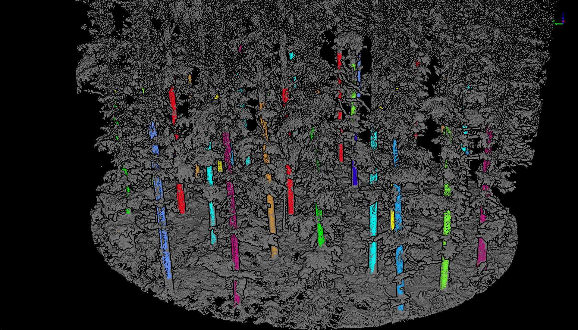
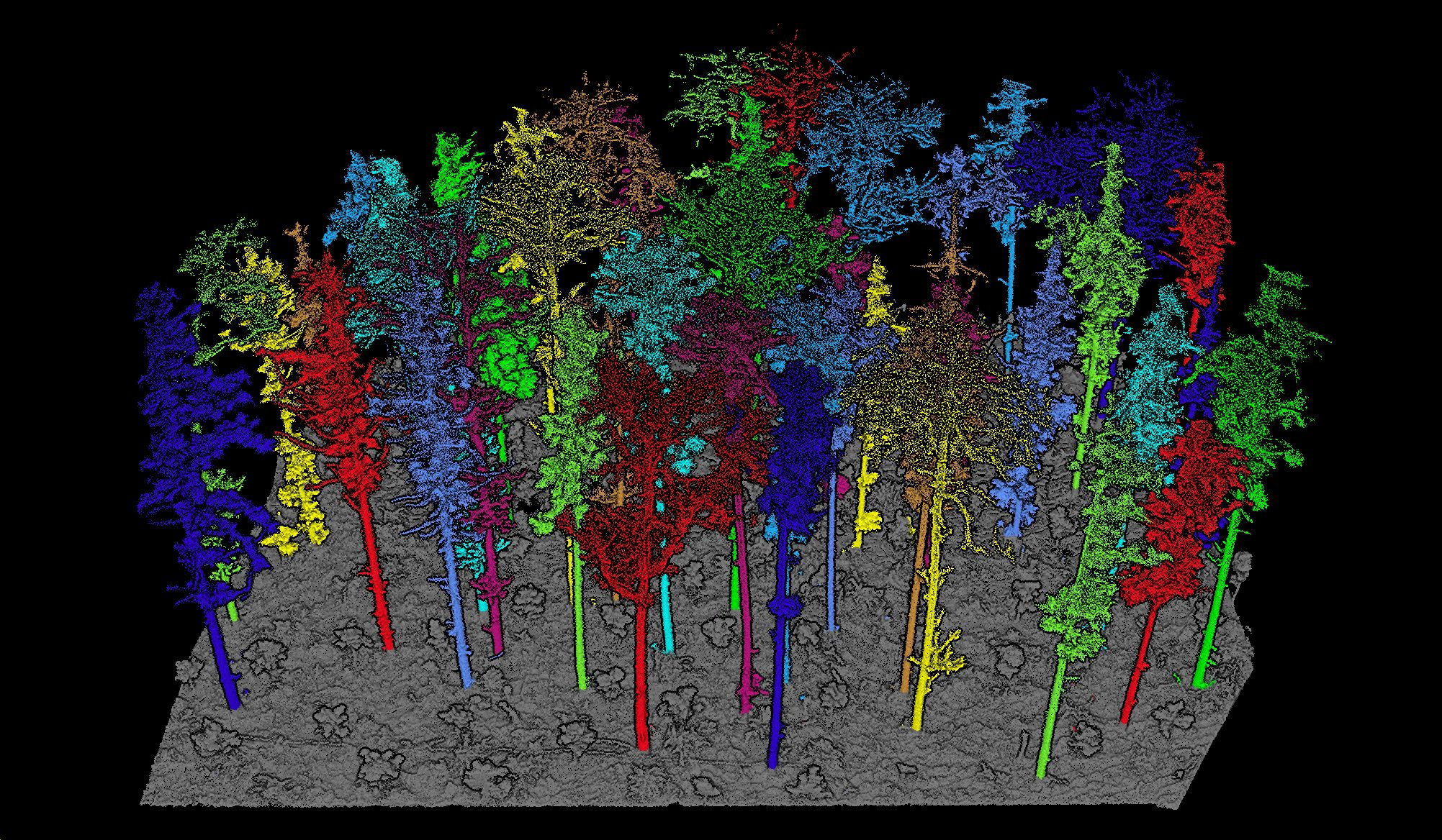
As a powerful automated LiDAR processing software, LiDAR360 can help global surveying and mapping workers complete various LiDAR data processing tasks more efficiently and accurately. Taking forestry applications as an example, LiDAR360 can automatically extract a series of forest parameters, such as tree height, crown width, canopy density, leaf area index, clearance rate, volume, biomass, etc., creatively solving the challenge of estimating trunk volume, achieving real three-dimensional visualization of forests, and contributing to digital management of forestry resources.
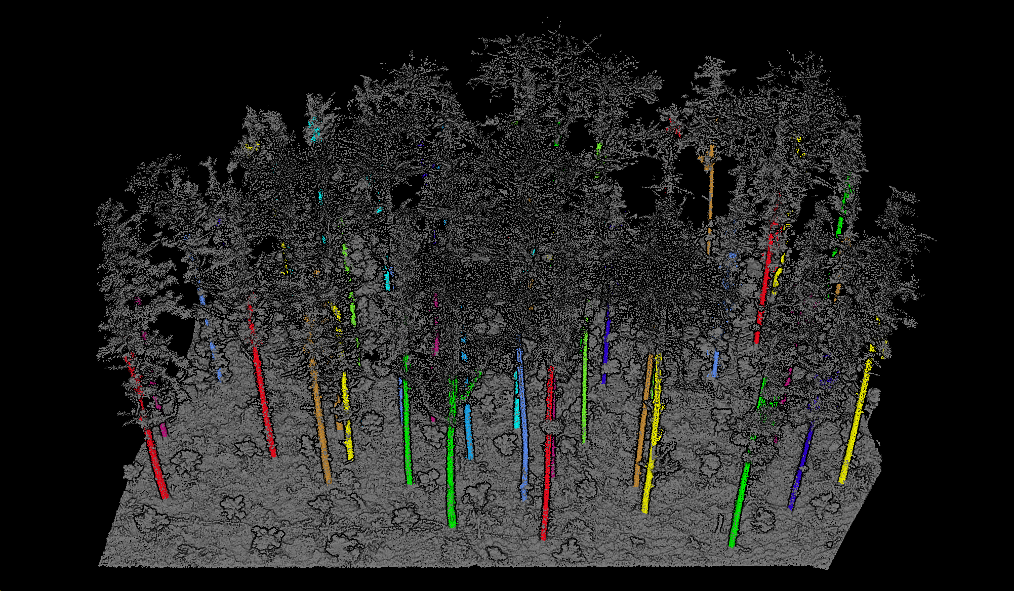
 微信图片_20231122161007.png微信图片_20231122161037.png

微信图片_20231122161046.png微信图片_20231122161054.png  

  Welcome to download and experience now!


LiDAR360 is an automated LiDAR processing software suitable for global surveying and mapping workers. This software can effectively process and analyze LiDAR data, including point cloud data processing, 3D visualization, digital terrain model (DTM), and digital surface model (DSM).


LiDAR360 has various powerful functions, including data preprocessing, data filtering, point cloud classification, digital terrain and surface model generation, 3D visualization, and more. The most noteworthy thing is that the software can automatically process and analyze data, greatly reducing workload and improving work efficiency.


In addition, LiDAR360 can seamlessly connect and exchange data with other software such as ArcGIS, Google Earth, and AutoCAD. Users can choose which features of the software to use according to their own needs, thereby improving work efficiency and accuracy.


As a powerful automated LiDAR processing software, LiDAR360 can help global surveying and mapping workers complete various LiDAR data processing tasks more efficiently and accurately. Taking forestry applications as an example, LiDAR360 can automatically extract a series of forest parameters, such as tree height, crown width, canopy density, leaf area index, clearance rate, volume, biomass, etc., creatively solving the challenge of estimating trunk volume, achieving real three-dimensional visualization of forests, and contributing to digital management of forestry resources.
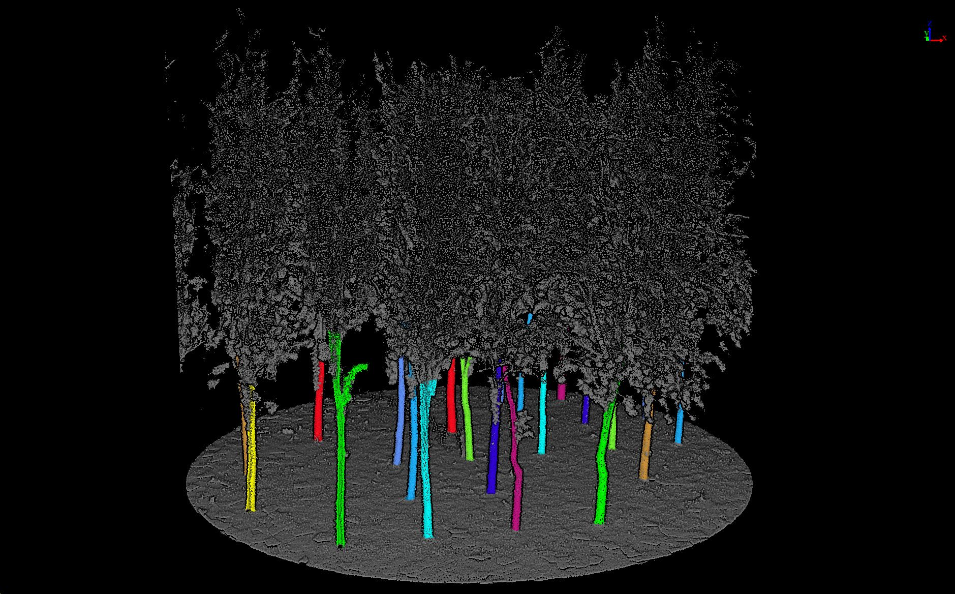
 微信图片_20231122161007.png微信图片_20231122161037.png

微信图片_20231122161046.png微信图片_20231122161054.png  

  Welcome to download and experience now!


Recommended Articles

HOW CAN WE HELP YOU?
Message us your questions and contact information.
We’ll get back to you right away!